New Mexico Expedition, E. B. Howard, 1936
Accession Lot
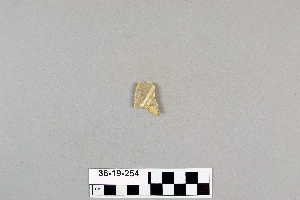
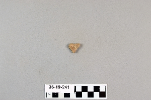
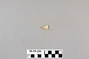
- Object[80]
- yes[80]
- no[80]
- american[80]
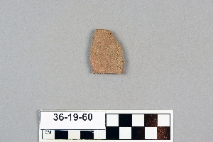
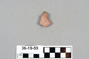
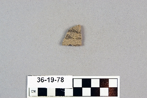
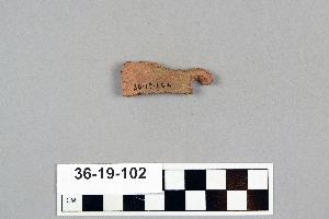
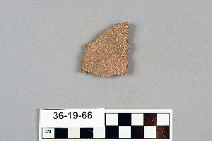
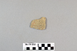
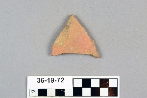
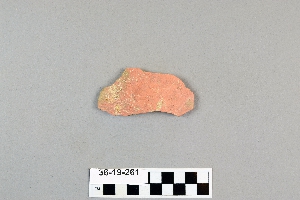
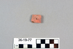
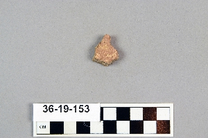
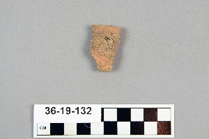
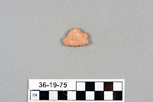
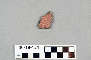
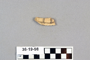
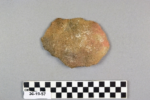
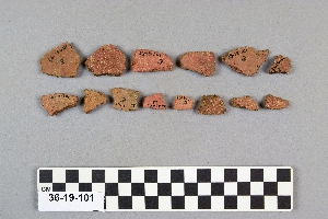
- sherd[80]
- anderson lake[3]
- clovis[9]
- keetzeel[26]
- maljamar[15]
- new mexico[80]
- polard lake[10]
- railroad mountain[1]
- second jernada site[10]
- site 10[10]
- site 2[24]
- site 3[3]
- site 4[3]
- site 5[1]
- site 8[3]
- "from gravels as deep in side of bank as 6' 5". trail cut along side in 1934, 5 ft. wide. pottery sherds in 17" deeper."[10]
- "mound" - adobe walls[10]
- from gravel bank about 200 yards e. n.e. of kim, depth 18"[3]
- from gravel bank about 200 yards e. n.e. of kim, depth 25"[1]
- from gravel bank about 200 yards e. n.e. of kim, depth 26"[1]
- from gravel bank about 200 yards e. n.e. of kim, depth 32"[3]
- from gravel bank about 200 yards e. n.e. of kim, depth 38"[3]
- surface of gully in front of rim.[4]
1 - 30 of 80 Records