Texas and Southwest Expedition; J. A. Mason, et. al. 1929
Accession Lot
- Object[154]
- yes[154]
- no[154]
- american[154]
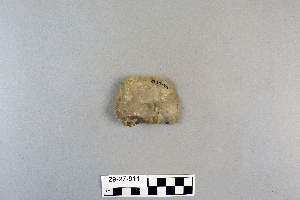
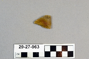
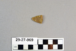
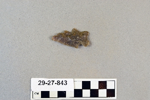
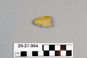
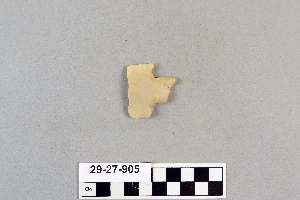
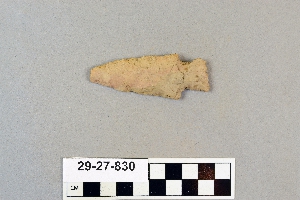
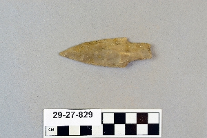
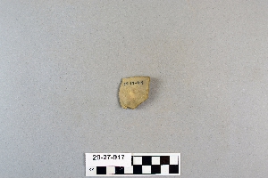
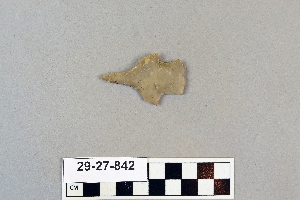
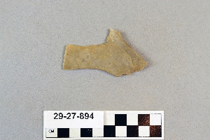
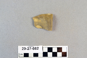
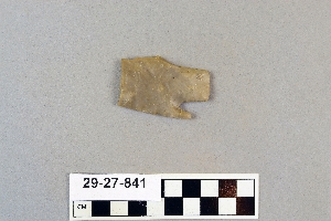
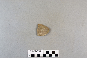
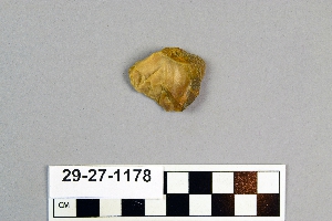
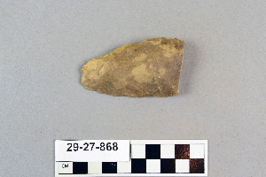
- arrowhead[38]
- axe[1]
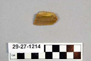
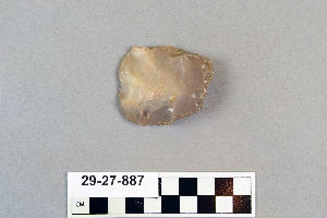
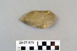
- blade[4]
- flaker[1]
- flakes[1]
- implement[13]
- knife[1]
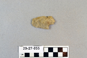
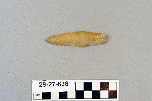
- knife blade[8]
- maul[1]
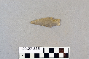
- point[13]
- scraper[56]
- spear[1]
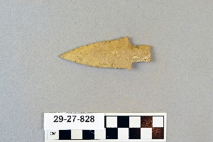
- spear head[20]
- spearhead[11]
- spearhead fragment[3]
- austin (texas)[12]
- bastrop county[1]
- brackettville[13]
- corpus christi[2]
- corpus christi area[11]
- david rose's ranch[13]
- devil's river[26]
- dr. pearce mound[40]
- elgin[1]
- florence (texas)[72]
- henry gault mound[32]
- j. w. carruthers ranch[13]
- kerr county[3]
- kerrville[3]
- live oak peninsula[14]
- nueces county[13]
- rattlesnake point[1]
- red fish point[2]
- rincon[8]
- rockport[2]
- salinas creek[3]
- st. charles bay[2]
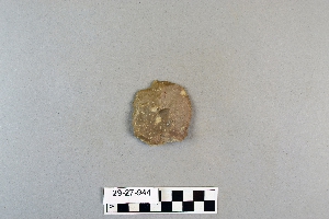
- texas[154]
- travis county[9]
- united states of america[154]
- williamson county (texas)[40]
- bottom layer, 5 ft. deep.[20]
- bottom level.[6]
- burnt mound[13]
- from the upper surface.[2]
- from top layer of mound.[3]
- mounds near austin[9]
- shell mounds[7]
- site 40 or 41[1]
- surface and misc finds[1]
- surface and misc. finds[38]
- surface and miscellaneous finds[1]
- surface finds from site of j. w. carruthers ranch.[13]
- surface from detritus from cave[1]
- surface of detritus from cave[10]
- surface of detritus from cave which was excavated[1]
- chipped[18]
1 - 30 of 154 Records
1 - 30 of 154 Records