Texas and Southwest Expedition; J. A. Mason, et. al. 1929
Accession Lot
- Object[243]
- yes[243]
- no[243]
- american[243]
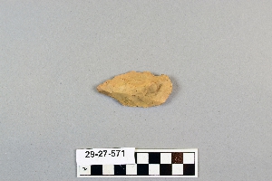
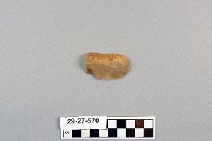
- drill point[1]
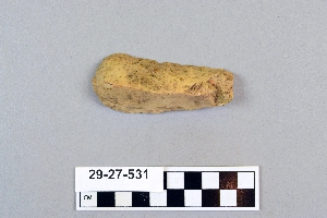
- hand axe[1]
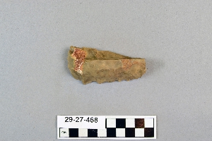
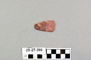
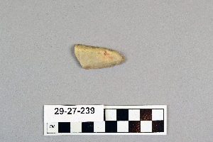
- knife[21]
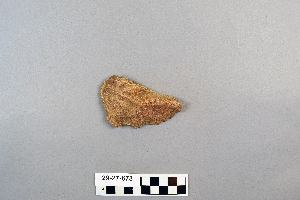
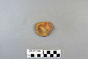
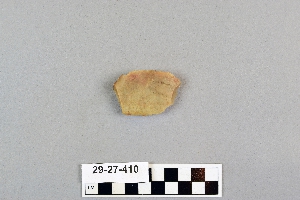
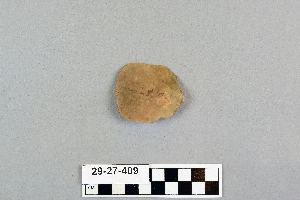
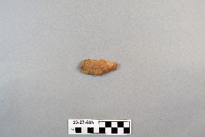
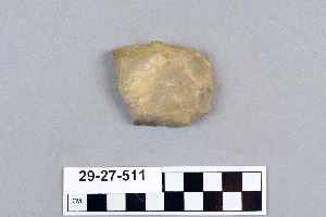
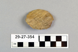
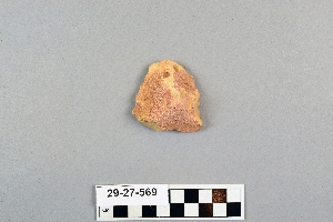
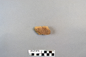
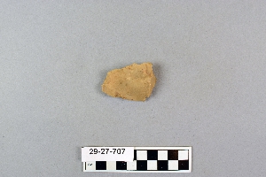
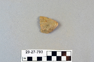
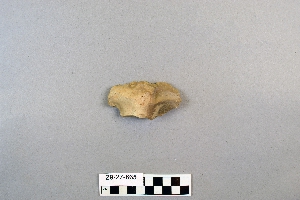
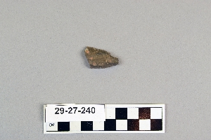
- scraper[243]
- abilene[20]
- alibates creek[1]
- bivens ranch[1]
- buffalo gap[11]
- canadian river[6]
- deal[10]
- elm creek[52]
- landergin[6]
- lendsey farm[29]
- logan (new mexico)[6]
- mathews ranch[9]
- near abilene[152]
- near albany[9]
- new mexico[6]
- northwestern united states[1]
- nugent ranch[2]
- putnam pit[2]
- quay county[6]
- reynold's ranch[2]
- rosson's ranch[11]
- texas[237]
- united states of america[242]
- wyatt farm[26]
- 0.75 mi beyond bridge[4]
- 0.75 mi. beyond bridge[22]
- below surface/above main floor of burnt house[1]
- centre line[9]
- dr. ray's site on clear fork of brazos river[2]
- elm creek near surface site[1]
- elm creek surface site[25]
- found 100 yards from putman pit[1]
- gravel pit[11]
- mesa site[6]
- near mouth of elm creek[26]
- paint creek[25]
- rossen's ranch near lawn[11]
- sand site[9]
- surface[38]
- surface near deal[9]
- surface site[31]
- surface site in cotton field 1 mi. e. of lawn[3]
- surface site in cotton field mile e. of lawn[11]
- surface site in cotton field mile e. of lawn.[1]
- surface site near abilene[13]
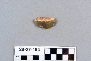
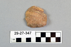
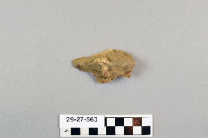
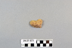
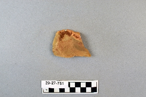
- flint[243]
1 - 30 of 243 Records