Texas and Southwest Expedition; J. A. Mason, et. al. 1929
Accession Lot
- Object[387]
- no[387]
- american[387]
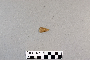
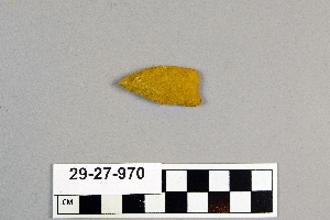
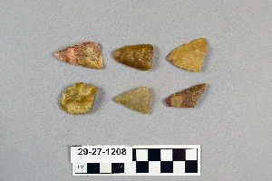
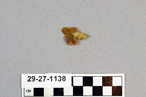
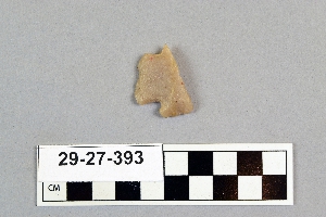
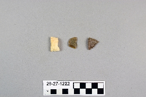
- arrowhead[52]
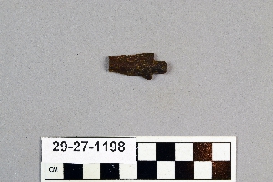
- arrowhead fragment[3]
- bivalve shell[1]
- blade[2]
- charcoal[1]
- dart point[1]
- drill[1]
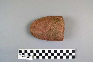
- hammer[2]
- hammerstone[3]
- hatchet[1]
- implement[2]
- implements[1]
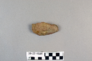
- knife[6]
- knife blade[2]
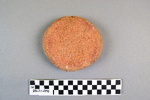
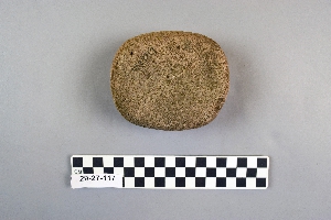
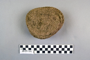
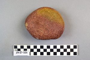
- mano[97]
- mano stone[17]
- maul[2]
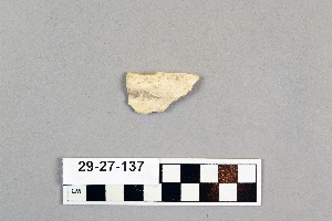
- metate[5]
- metate fragment[1]
- paint stone[1]
- pebble[3]
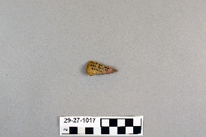
- point[104]
- points[4]
- projectile point[19]
- projectile point fragment[1]
- red paint stone[1]
- rubbing stone[6]
- sandstone[1]
- scraper[36]
- scrapers[1]
- shell[1]
- soil[1]
- spear head[7]
- spear point[1]
- spearhead[9]
- stone[2]
- stone fragment[2]
- stones[1]
- tube[1]
- abilene[7]
- alibates creek[9]
- arizona[3]
- austin (texas)[1]
- balanced rock[3]
- banquete creek[5]
- bivens ranch[1]
- blind oso[1]
- brackettville[3]
- brazos river[1]
- buffalo gap[2]
- canadian river[6]
- copano bay[1]
- corpus christi[36]
- corpus christi area[30]
- david rose's ranch[3]
- deal[2]
- devil's river[2]
- double mountain[1]
- duncan (arizona)[3]
- elgin island[6]
- florence (texas)[2]
- grapevine creek[1]
- gravel pit[1]
- henry gault mound[2]
- ingleside cove[4]
- j. w. carruthers ranch[2]
- kerr county[2]
- kerrville[2]
- kingville[1]
- kroenig ranch[4]
- laguna madre islands[6]
- landergin[5]
- lendsey farm[11]
- live oak peninsula[57]
- logan (new mexico)[81]
- loma pardo[6]
- mathews ranch[2]
- mesa[10]
- mesa ruin[1]
- navaho mountain[19]
- navajo mountain[1]
- navajo reservation[21]
- near abilene[33]
- near albany[2]
- neuces[9]
- new mexico[93]
- nueces county[76]
- nueces dam[20]
- nugent ranch[8]
- oso bay[6]
- oso creek[4]
- owl house[3]
- pecos[1]
- petronillo creek[5]
- puerto bay[14]
- puerto bay club[1]
- putnam pit[4]
- quay county[82]
- red fish point[5]
- red house[5]
- reynold's ranch[4]
- rincon[46]
- rockport[14]
- rosson's ranch[2]
- salinas creek[11]
- san patricio county[20]
- st. charles bay[11]
- texas[270]
- travis county[1]
- tsebanahatci[1]
- united states of america[362]
- utah[21]
- viola[2]
- watrons[6]
- watrous[4]
- western united states[1]
- 40" level[1]
- 48" level[1]
- 60" level[1]
- a known comanche site[5]
- approximate 7' level near front of pit.[1]
- bottom level[1]
- burnt mound[3]
- centre line[3]
- cliffhouse near red house[3]
- cliffhouse near red rock[1]
- dr. ray's site on clear fork of brazos river.[4]
- found in cave on side of mesa.[1]
- from cliffhouse near red house[1]
- from surface of fork of brazos river.[1]
- gravel pit[2]
- mesa site[5]
- mounds near austin[1]
- near abilene[3]
- paint creek[7]
- rossen's ranch near lawn[2]
- sand site[3]
- shell mounds[17]
- site 40 or 41[1]
- site beside mesa near navaho mountain[1]
- small museum[1]
- surface[12]
- surface finds from site of j. w. carruthers ranch.[2]
- surface near deal[1]
- surface site[1]
- surface site in cotton field mile e. of lawn[1]
- surface site near abilene[2]
- surface, lendsey farm, near abilene.[3]
- bivalve shell[1]
- charcoal[1]
- shell[1]
- soil[1]
- stone[387]
- chipped[139]
1 - 30 of 387 Records
1 - 30 of 387 Records