Texas and Southwest Expedition; J. A. Mason, et. al. 1929
Accession Lot
- Object[970]
- no[970]
- american[970]
- adobe[2]
- adobe fragment[1]
- animal bone[4]
- animal bone fragment[4]
- animal tooth[2]
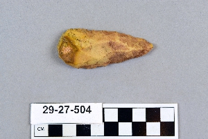
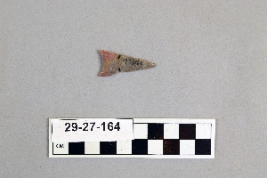
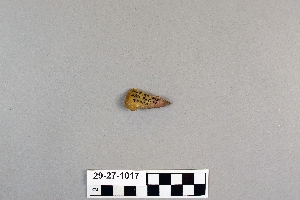
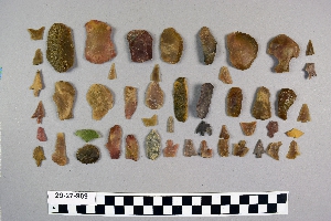
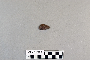
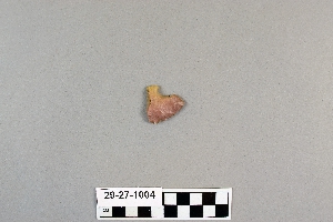
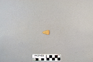
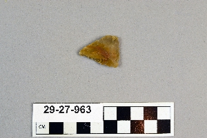
- arrowhead[94]
- arrowhead fragment[3]
- asphalt[1]
- awl[2]
- awl fragment[1]
- axe[1]
- ball[1]
- bivalve shell[1]
- blade[14]
- bone[1]
- charcoal[1]
- chip[8]
- chips[1]
- clay[2]
- core[1]
- dart point[1]
- drill[1]
- drill point[3]
- flaker[1]
- flakes[1]
- flint[3]
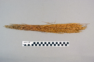
- grass stems[1]
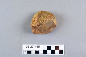
- hammerstone[5]
- hand axe[2]
- hatchet[4]
- implement[16]
- implements[1]
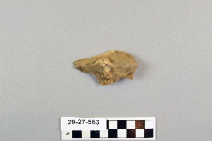
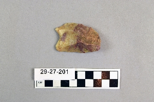
- knife[156]
- knife blade[11]
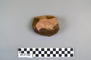
- mano[17]
- mano stone[1]
- matting[1]
- maul[3]
- paint stone[1]
- pebble[4]
- pendant[2]
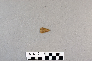
- point[129]
- points[4]
- projectile point[34]
- red paint stone[1]
- rubbing stone[6]
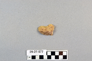
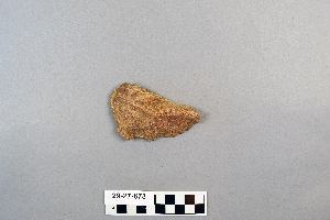
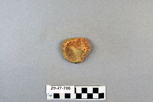
- scraper[332]
- scrapers[1]
- shell[7]
- shell fragment[2]
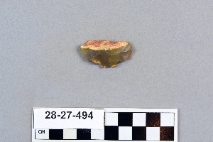
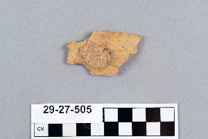
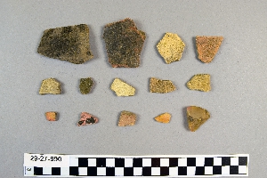
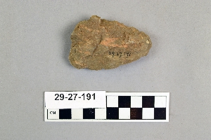
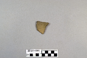
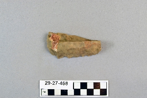
- sherd[54]
- sherds[18]
- soil[8]
- spear[1]
- spear head[27]
- spear point[1]
- spearhead[21]
- spearhead fragment[3]
- stone[2]
- stone fragment[2]
- stones[1]
- teeth[1]
- tube[2]
- wood[2]
- abilene[35]
- alibates creek[37]
- alpine[1]
- aransas county[1]
- austin (texas)[17]
- banquete creek[6]
- bastrop county[1]
- bivens ranch[10]
- blanco canyon[1]
- blind oso[1]
- brackettville[17]
- brazos river[1]
- brewster county[1]
- brownsville[2]
- buffalo gap[25]
- canadian river[36]
- copano bay[2]
- corpus christi[63]
- corpus christi area[48]
- david rose's ranch[17]
- deal[30]
- devil's river[30]
- double mountain[1]
- dr. pearce mound[40]
- elgin[1]
- elgin island[7]
- elm creek[64]
- florence (texas)[78]
- grapevine creek[3]
- gravel pit[1]
- great bend county[1]
- henry gault mound[38]
- ingleside cove[6]
- j. w. carruthers ranch[16]
- jones county (texas)[1]
- kerr county[5]
- kerrville[5]
- kingville[1]
- laguna madre island[2]
- laguna madre islands[8]
- landergin[33]
- lendsey farm[50]
- live oak peninsula[119]
- mathews ranch[16]
- near abilene[252]
- near albany[16]
- neuces[9]
- northwestern united states[1]
- nueces county[127]
- nueces dam[21]
- nugent ranch[13]
- oso bay[8]
- oso creek[4]
- palo duro canyon[3]
- petronillo creek[5]
- pit house[10]
- playa lodosa[1]
- puerto bay[15]
- puerto bay club[2]
- putnam pit[23]
- rattlesnake point[1]
- red fish point[8]
- reynold's ranch[23]
- rincon[62]
- rockport[38]
- rosson's ranch[19]
- salinas creek[16]
- san patricio county[20]
- st. charles bay[14]
- taylor county[1]
- texas[970]
- travis county[14]
- united states of america[968]
- viola[2]
- western united states[1]
- williamson county (texas)[40]
- wyatt farm[35]
- comanche[9]
- "surface site near abilene"[1]
- 0.75 mi beyond bridge[4]
- 0.75 mi. beyond bridge[25]
- 15 mi. s. of amarillo[3]
- 18" level[1]
- 24" level[1]
- 39" level[1]
- 40" level[1]
- 48" level[2]
- 58" level[1]
- 6" level[1]
- 60" level[3]
- 64" level[1]
- 84" level[1]
- a known comanche site[5]
- approximate 7' level near front of pit.[1]
- below surface/above main floor of burnt house[5]
- bottom layer, 5 ft. deep.[22]
- bottom level[1]
- bottom level.[8]
- burnt mound[17]
- centre line[12]
- dr. ray's site on clear fork of brazos river[8]
- dr. ray's site on clear fork of brazos river.[15]
- elm creek near surface site[1]
- elm creek surface site[28]
- excavated cave[1]
- found 100 yards from putman pit[1]
- from surface of fork of brazos river.[1]
- from the upper surface.[2]
- from top layer of mound.[3]
- from upper 18" level[3]
- gravel pit[25]
- in cave 9 miles from alpine[1]
- jones or taylor counties[1]
- mesa near floydada[1]
- mesa site[31]
- mounds near austin[14]
- near abilene[3]
- near mouth of elm creek[34]
- paint creek[47]
- pit house[1]
- pit house floor[7]
- rossen's ranch near lawn[18]
- sand site[12]
- shell mounds[29]
- site 40 or 41[32]
- small museum[1]
- surface[67]
- surface and misc finds[1]
- surface and misc. finds[38]
- surface and miscellaneous finds[1]
- surface finds from site of j. w. carruthers ranch.[16]
- surface from detritus from cave[1]
- surface near deal[23]
- surface of detritus from cave[10]
- surface of detritus from cave which was excavated[1]
- surface site[48]
- surface site in cotton field 1 mi. e. of lawn[3]
- surface site in cotton field mile e. of lawn[29]
- surface site in cotton field mile e. of lawn.[1]
- surface site near abilene[24]
- surface, lendsey farm, near abilene.[3]
- surface.[1]
1 - 30 of 970 Records
1 - 30 of 970 Records