University Museum-Rochester University Expedition, 1929
Accession Lot
- Object[34]
- yes[34]
- no[34]
- american[34]
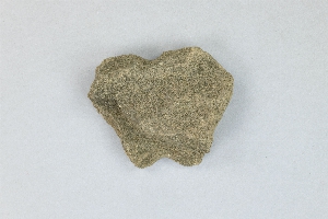
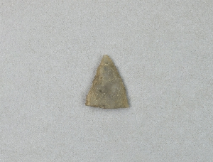
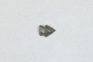
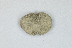
- arrowhead[6]
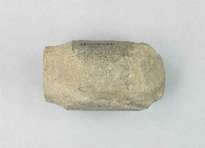
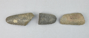
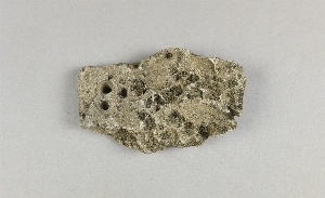
- celt fragment[1]
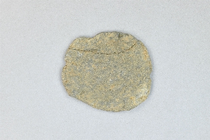
- hammerstone[1]
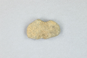
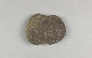
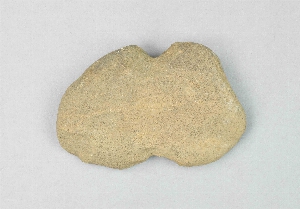
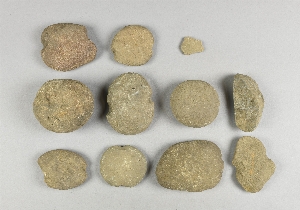
- net sinker[11]
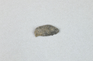
- pebble[1]
- pestle fragment[1]
- projectile point fragment[1]
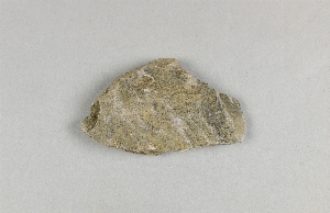
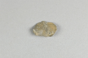
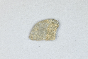
- scraper[2]
- tool[8]
- tool fragment[1]
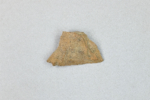
- vessel fragment[2]
- clinton county[33]
- lock haven[34]
- pennsylvania[34]
- united states of america[34]
- farm about 3 mi. above lock haven on south bank of west brnach of susquehanne river, surface.[2]
- hays stewart farm, operation ii, surface[4]
- mckinney's farm, mouth of mcelhatten creek, south isde of west branch of susquehanna river, 4 mi. below lock haven. surface[1]
- monro farm, operation i, pit #26, depth 7 in[1]
- monro farm, operation i, test pit #1, depth 17 in[5]
- monro farm, operation i, test pit #2, depth 20 in[1]
- operation iii[1]
- operation iii, pit no. e and f, -3[2]
- pine station[3]
- pine station, quiggle farm, operation iii, pit no. e and f, -3. depth, surface to 14 in[2]
- pine station, quiggle farm, operation iii, surface.[5]
- quiggle farm[3]
- shaw's farm, mouth of pine creek, below lock haen on west branch pf susquehanna river, surface[6]
- vicinity[1]
- chipped[34]
1 - 30 of 34 Records
1 - 30 of 34 Records