The Texas and Southwest Expedition, E. B. Howard, 1932
Accession Lot
- Object[20]
- yes[20]
- no[20]
- american[20]
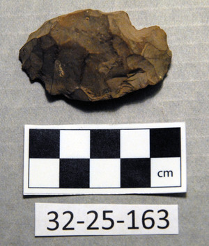
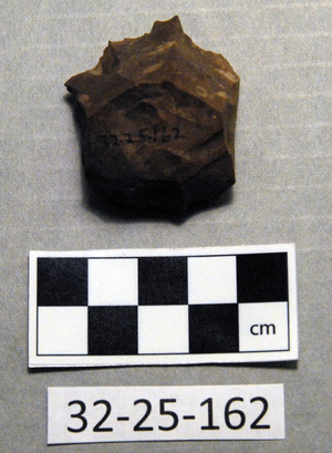
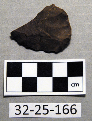
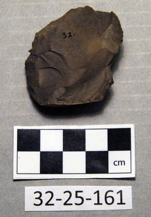
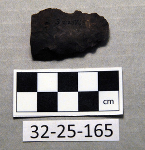
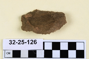
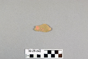
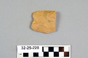
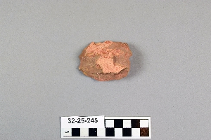
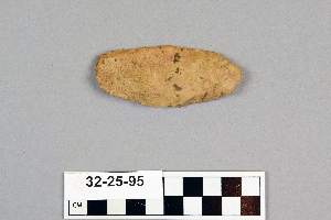
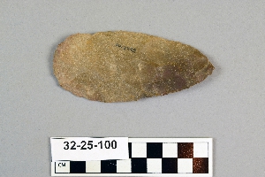
- knife[10]
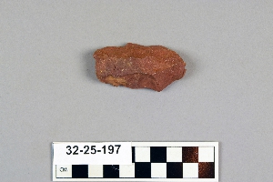
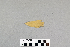
- point[2]
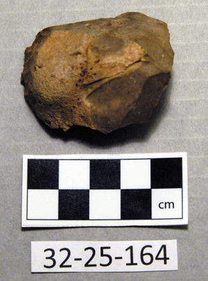
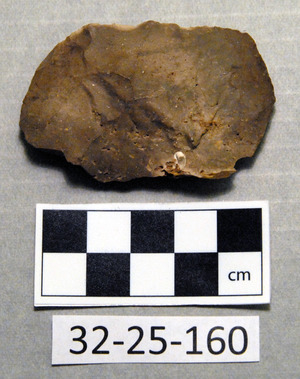
- scraper[8]
- spear point[1]
- blowout mountain[4]
- clovis[1]
- eddy county[11]
- elm creek[2]
- gravel pit[1]
- guadalupe mountains[1]
- last chance canyon[7]
- lincoln national forest[7]
- little pine canyon[1]
- mescal pit[1]
- near abilene[6]
- near carlsbad[9]
- new mexico[13]
- nugent[1]
- ralph thayer ranch[1]
- rawhide canyon[1]
- shattuck cave[1]
- taylor county[1]
- texas[7]
- united states of america[20]
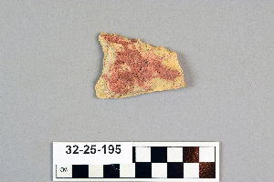
- basket maker[7]
- pueblo[1]
- "johnny-behind-the-deuce cave"[1]
- cave 50-60 miles west of carlsbad[1]
- creek bed of elm creek 7.5 mi. south of abilene[2]
- from lake 3 mi. w. of gravel pit near clovis, n.m.[1]
- large cave near pumping station, last chance canyon, west of carlsbad, n.m.[7]
- sand "blowout" 20-25 miles northeast of carlsbad[2]
- sand dune surface site near nugent[1]
- surface site[4]
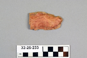
- chert[20]
- chipped[12]
1 - 20 of 20 Records
1 - 20 of 20 Records