Yukon Expedition, Frederica de Laguna, 1935
Accession Lot
- Object[470]
- no[470]
- american[470]
- adze[10]
- adze blade[5]
- adze fragment[2]
- adze head[1]
- agate lump[1]
- animal bone[1]
- antler[5]
- arrow[4]
- arrow blade[1]
- arrowhead[26]
- awl[10]
- axe butt[1]
- bag handle[1]
- bar[2]
- barb[1]
- barbed head[4]
- bark fragment[2]
- basket fragment[1]
- bead[5]
- beads[2]
- birch bark[1]
- blade[7]
- blade fragment[5]
- bodkin[1]
- bone[8]
- boot creaser[1]
- bow trigger[1]
- buckle[1]
- carving[2]
- chip[3]
- chips[1]
- chisel[3]
- cleaver[1]
- club[1]
- comb (hair - grooming tool)[2]
- core[2]
- cores[1]
- dagger[1]
- disc[1]
- drill mouthpiece[2]
- drill point[2]
- edging[1]
- fish spear prong[4]
- fishhook[1]
- flake[2]
- float[1]
- grinding slab[2]
- grooved slab[1]
- hammer[3]
- hammerstone[2]
- handle[2]
- harpoon blade[3]
- harpoon foreshaft[2]
- harpoon head[2]
- hook[1]
- house post[3]
- hunting adze[4]
- ice pick[3]
- inset for plate[2]
- ivory[1]
- jasper[1]
- knife[1]
- knife blade[4]
- knife handle[4]
- knife point[1]
- lamp[3]
- lance blade[2]
- net float[3]
- net sinker[4]
- net weight[4]
- pendant[4]
- pin[2]
- planing adze[2]
- planing adze blade[12]
- point[10]
- pot[3]
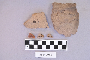
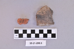
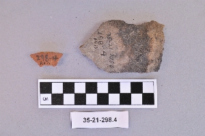
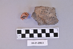
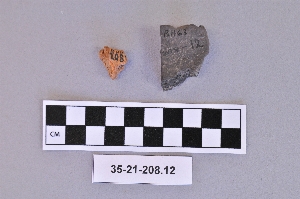
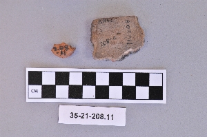
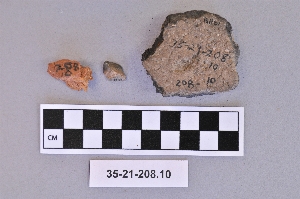
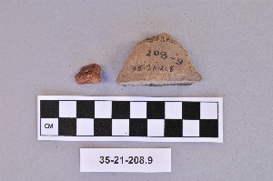
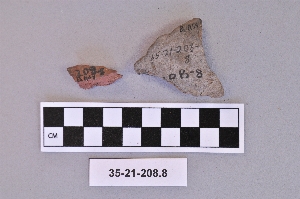
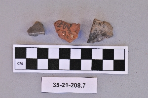
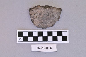
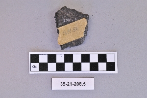
- pottery fragment[62]
- pottery fragments[15]
- ring fragment[2]
- rod[2]
- saw[4]
- scraper[19]
- scraper blade[8]
- sherd[31]
- sherds[2]
- skin scraper[2]
- splitting adze[7]
- stone[7]
- strip[4]
- tube[3]
- ulu blade[16]
- ulu blade fragment[2]
- vessel[3]
- vessel fragment[5]
- weapon blade[2]
- wedge[9]
- whetstone[44]
- wood[2]
- wood fragment[2]
- worked bone[3]
- adam's place[10]
- alaska[470]
- alaska college[3]
- anvik[32]
- anvik point[35]
- anvik river[41]
- blackburn[14]
- blackburn river[1]
- blackburn slough[14]
- bonasila[107]
- bonasila beach[60]
- dolby[1]
- eleven-mile village[7]
- fairbanks[3]
- frank fox's place[92]
- galena (alaska)[1]
- ghost creek[5]
- grayling (alaska)[6]
- grayling river[1]
- hall rapids[5]
- holiday's old place[5]
- hologochaket[8]
- holy cross[97]
- innoko river[9]
- jackson creek[2]
- julius joseph's fish camp[1]
- kaiyuh slough[98]
- kalland[4]
- kaltag[4]
- kashim[19]
- kateel[26]
- kateel river[11]
- kateel village[11]
- khotol river[98]
- koyukuk river[40]
- lower kaltag[1]
- lower yukon river valley[402]
- middle yukon valley[62]
- new grayling[24]
- nicolai albert's fish camp[2]
- north america[470]
- old fish camp[78]
- old louden[1]
- paul esmailka's camp[2]
- rampart[1]
- rampart rapids[1]
- reshanana creek[1]
- shageluk[1]
- shageluk slough[2]
- spring camp[3]
- tanana (alaska)[13]
- tanana mission[11]
- terentief's station[1]
- tom butler's fish camp[1]
- tozi river[1]
- united states of america[470]
- yukon[1]
- yukon river valley[1]
- yukon willow creek[11]
- yuto[3]
- yutogonodaldads[2]
- dene[2]
- eskimo[21]
- koyukuk[4]
- lower koyukuk[6]
- lower yukon[2]
- modern indian[52]
- prehistoric indian[57]
- tanana[2]
- yukon[30]
- "18-mile road house" formerly owned by whisky jack burchell.[1]
- "long patch of willows", on beach[1]
- 12-15" below surface[1]
- 18 inches below surface[1]
- 18 inches below the surface at the site.[1]
- 3-6" below surface[2]
- 8 mi. up blackburn slough.[1]
- 8-10" below surface[2]
- above floor of porch, house #1[4]
- above roof of house #2[8]
- above roof, house #1[6]
- above roof, house #2[1]
- across from jordan's homestead, 7 miles below the rapids[1]
- bank on e. side of stream mouth and beach[6]
- beach[5]
- beach of terrace #1[2]
- beach on terrace #1[3]
- charcoal layer above beach on terrace #1[15]
- depth uncertain[1]
- floor of porch, house #1[5]
- found in gulch 3' below surface, 300' from w. end of aviation field, at s. side of field[1]
- found in house pit[1]
- found on beach[1]
- found on the beach below muller's garden.[1]
- hosue 12[1]
- house # 7[1]
- house #1, above roof[1]
- house #2[4]
- house #7[4]
- house 1[3]
- house 12[40]
- house 13[3]
- house 13, above roof[6]
- house 13, floor[15]
- house 33[14]
- house 4[16]
- house 4, botom of pit d[1]
- house 5[1]
- house 6[10]
- house 7[1]
- house 8[21]
- house pit[7]
- house pit 8 mi. up blackburn slough[1]
- inside egg storage pit, house #2[1]
- muller's garden and path to the beach.[3]
- old site[2]
- path to river in front of coulombe house[1]
- pit d near house 4[1]
- porch of house #1, level uncertain[2]
- site at the mouth of the creek.[2]
- slope of terrace #2, at house #1[10]
- surface of garden[1]
- agate[1]
- andesite[13]
- animal bone[6]
- antler[52]
- basalt[20]
- bear tooth[1]
- birch bark[4]
- bird bone[5]
- bone[68]
- caribou bone[3]
- ceramic[86]
- chert[5]
- clay[9]
- copper[1]
- deer bone[1]
- diabase[1]
- diorite[2]
- glass[7]
- greenstone[10]
- hornfels[1]
- iron[3]
- ivory[4]
- jasper[6]
- lava stone[1]
- limestone[3]
- mammoth bone[1]
- moose bone[3]
- obsidian[3]
- paint[1]
- pigment[1]
- quartz[1]
- rhyolite[2]
- sandstone[55]
- schist[6]
- slate[50]
- stone[25]
- tooth[1]
- wood[23]
- yellow jasper[1]
1 - 30 of 470 Records
1 - 30 of 470 Records