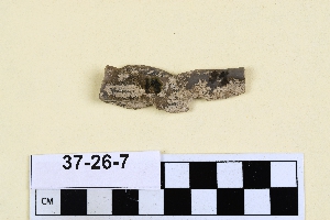
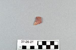
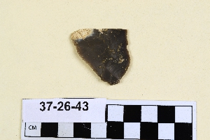
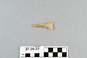
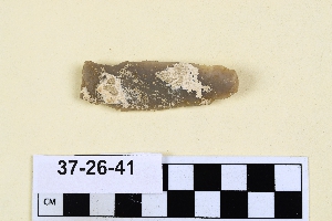
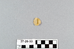
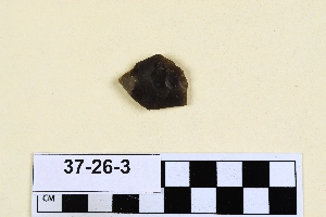
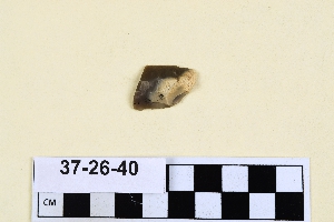
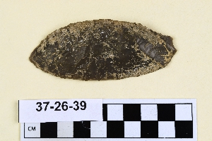
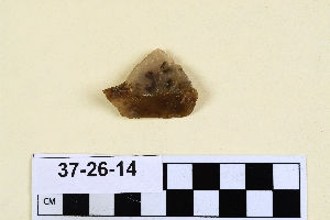
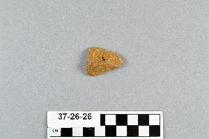
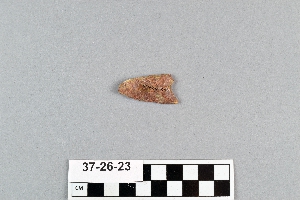
New Mexico Expedition, E. B. Howard, 1937
Accession Lot
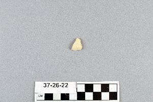
- Object[51]
- yes[51]
- no[51]
- american[51]
- drill[1]
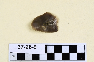
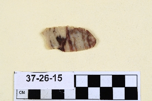
- flake[21]
- flake scraper[2]
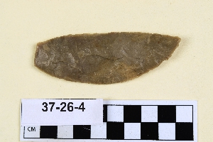
- folsom point[3]
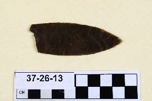
- knife[2]
- point[14]
- points[1]
- scraper[7]
- blackwater draw[1]
- clovis[18]
- curry county[32]
- hereford[1]
- near clovis[14]
- near dalhart[18]
- new mexico[32]
- texas[19]
- united states of america[19]
- 70 ft. no. of '37 excavation in west wall of gravel pit[1]
- a - 13 - south, 16" above speckled sand[1]
- a - 14 - south[1]
- a - 4 - south; located 4' 6" from surface, 10" above speckled sand contact[1]
- a' - 12 - south, 5" below bluish clay in speckled sand[1]
- a' - 14 - s; 9" above speckled sand, in bluish clay[1]
- a' - 14 - south[2]
- b' - 15 - south, blue clay - 6" above speckled sand contact[1]
- b' - 2-south, in excavated blue material[1]
- basin site[11]
- c' - 2 - north[1]
- c' - 9 - south[1]
- c' - 9-south[1]
- dump at sw. corner of gravel pit; surface[1]
- found in excavated blue material[2]
- gravel pit[1]
- gravel pit west dump, surface[3]
- located in situ 6" below brown sand, bluish clay contact, in the bluish clay associated with bison bones which occur throughout the blue at this location[1]
- northeast dump of gravel pit, surface[1]
- surface[1]
- surface in blown area[15]
- surface, blown area[3]
- west dump at side of old road leaving the north east corner of the gravel pit[1]
- west dump of gravel pit, surface[1]
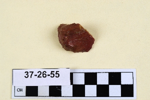
- chalcedony[18]
- chert[3]
- flint[12]
- jasper[2]
- moss agate[1]
- obsidian[1]
- quartzite[9]
- smoky quartz[1]
- stone[4]
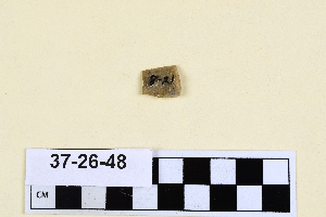
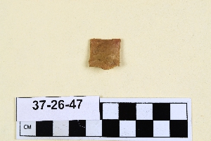
- chipped[51]
1 - 30 of 51 Records
1 - 30 of 51 Records