California Tranquillity Site Expedition; Linton Satterthwaite and Malcolm Lloyd, 1944
Accession Lot
- Object[11]
- no[11]
- american[11]
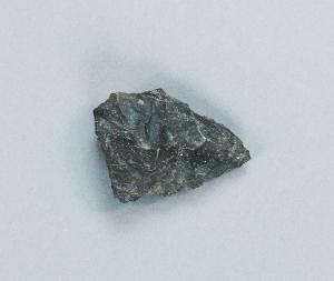
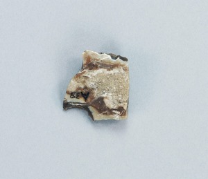
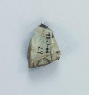
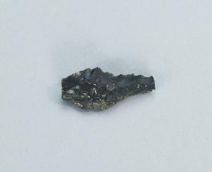
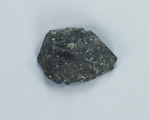
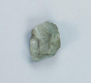
- core[1]
- drill[1]
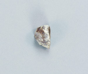
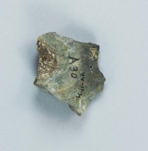
- flake[1]
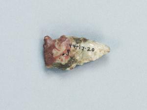
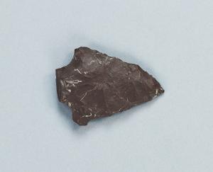
- projectile point[4]
- scraper[4]
- california (state)[11]
- fresno county[11]
- tranquillity[11]
- tranquillity site[11]
- excavated area at junction of squares 10z and 10aa on hard surface (surely of pink consolidated soil)[1]
- loose on surface of slough, south of sump 1, about in middle of channel as of 1944[1]
- near stake 10aa[1]
- near stake 10aa: probably in square 9z and probably on surface of hard pan and at base of white sand[1]
- projecting from sand in slough, near its northerly end (55 paces south of 7th fence post)[1]
- square 10z, probably on pink consolidated soil surface[1]
- square 11aa, probably easterly side of "11z area"[1]
- square 11z, 2.15 meters south, 2.10 east of center of square; on hard, smooth sand surface, at base of white sand[1]
- square 11z, 4.00 to 5.00 meters north of stake 11z; on hard sand surface at base of white sand[1]
- square 11z, 6.4m south, 3.5m west of stake 12aa, at base of white sand,[1]
- square 11z, same location as 44-17-22[1]
- flint[11]
- chipped[10]
1 - 11 of 11 Records

1 - 11 of 11 Records