California Tranquillity Site Expedition; Linton Satterthwaite and Malcolm Lloyd, 1944
Accession Lot
- Object[10]
- yes[10]
- no[10]
- american[10]
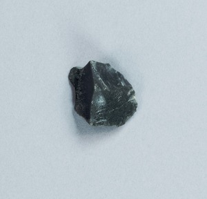
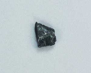
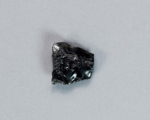
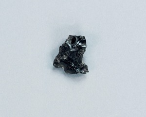
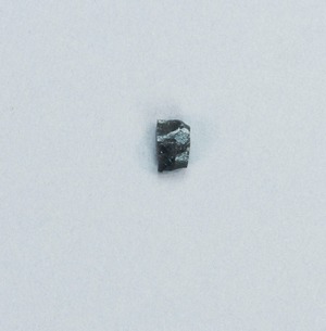
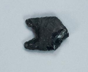
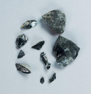
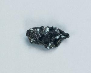
- implement[1]
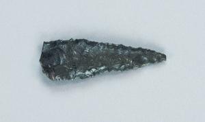
- projectile point[7]
- scraper[2]
- california (state)[10]
- fresno county[10]
- tranquillity[10]
- tranquillity site[10]
- excavated area adjoining sides of squares 10z and 10aa[1]
- excavated area at adjoining sides of square 10z and 10aa[1]
- loose on surface of slough[1]
- square 10aa, about 1.00 meters from stake 11aa; at surface of "pink consolidated soil" at base of white sand.[1]
- square 11x[1]
- square 11z[1]
- square 12x, 2.00 meters west of stake 12x, in pocket of "hard soil" (below white sand and/or silt)[1]
- square 12y[1]
- square 12y?[1]
- square 9u, 5.00 meters north, 1.75 meters east of stake 9u; 40 cm. below final surface; probably slightly above buried "level b" surface as determined at nearby pit 1a[1]
- obsidian[10]
- chipped[10]
1 - 10 of 10 Records

1 - 10 of 10 Records