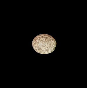
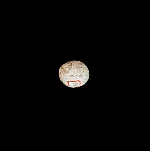
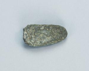
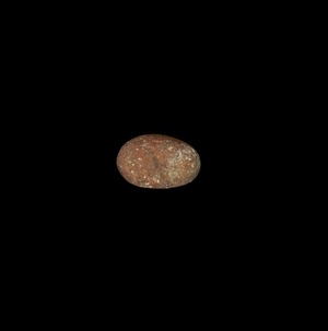
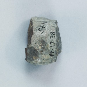
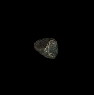
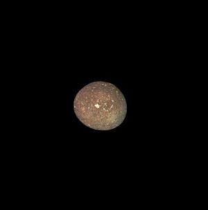
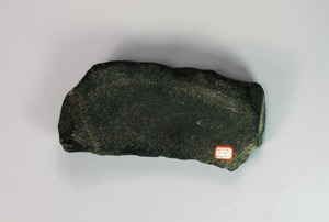
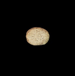
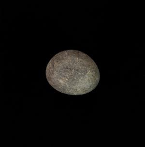
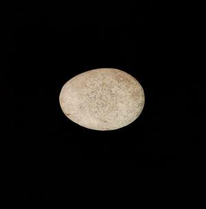
California Tranquillity Site Expedition; Linton Satterthwaite and Malcolm Lloyd, 1944
Accession Lot
- Object[13]
- no[13]
- american[13]
- hammerstone[1]
- implement[2]
- metate[1]
- muller[6]
- pebble[3]
- california (state)[13]
- fresno county[13]
- tranquillity[13]
- tranquillity site[13]
- square 10z, 3.00 meters north, 2.50 meters west of stake 10aa[1]
- square 11aa[1]
- square 11aa, in depression of hard sand surface, at base of white sand.[1]
- square 11aa; vertical position not noted[1]
- square 11z[5]
- square 11z, 6.35 meters north, 1.00 west of stake 11aa; imbedded in hard sand below the white sand, showing in the edge of the "gully" of the nodular sand.[1]
- square 11z, on smooth hard sand surface (with 44-17-51 and 52)[1]
- square 12z (?)[1]
- surely from area of excavations of 1944[1]
- stone[13]
- chipped[1]
- groundstone[7]
1 - 13 of 13 Records


1 - 13 of 13 Records