Survey of Northern Tlingit Country, Frederica de Laguna, 1949
Accession Lot
- Object[20]
- no[20]
- american[20]
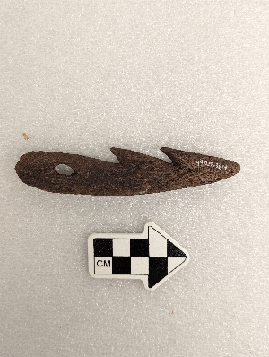
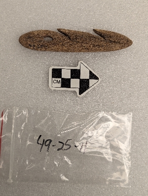
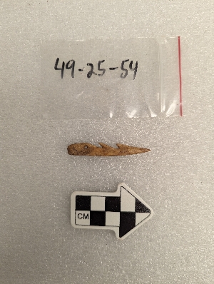
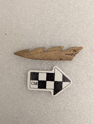
- harpoon head[20]
- admiralty island[4]
- alaska[20]
- chaik bay[1]
- daxatkanada fort[14]
- hood bay[2]
- knight island[2]
- kootznahoo inlet[14]
- mole harbor[1]
- united states of america[20]
- yakutat bay[2]
- 0'3'3" n of sw corner of square[1]
- 4'2" e and 2' north of sw corner of square[1]
- b2e. 17" below surface.[1]
- b2e. 7" below surface[1]
- beach below fort[1]
- bottom layer 21-27 inches[1]
- c1e 6-12"[1]
- c2e 6-12"[1]
- c3e below 18" - on edge of shelf - in midden mantle above burned layer[1]
- f1w - loose shell fill in large post hole[1]
- f1w - under large rock. compact dark midden in pit below loose shells[1]
- f2e 0-6"[1]
- f3e 18-24"[1]
- fe3 0-6"[1]
- g1e 21" in shell midden - 60" e and 48" n[1]
- g2e 6-12"[1]
- h2e 12-18"[1]
- mound a, near house 5[1]
- mound b near house 1[1]
- o-u 27 1/2 just above hard surface of pit a[1]
- animal bone[3]
- bone[11]
- whale bone[5]
- wood[1]
1 - 20 of 20 Records

1 - 20 of 20 Records