Search Collections
- Object[190]
- no[190]
- american[190]
- allen county (ohio)[1]
- auglaize county[1]
- bartlett shellheep[1]
- bedford county (pennsylvania)[1]
- berks county[11]
- bloody run[1]
- bordentown[1]
- boyertown[11]
- bucks county[16]
- burlington county[2]
- cayuga county[1]
- cecil county[1]
- chester county[1]
- chickies[1]
- chillicothe[1]
- clermont county[1]
- clinton county[7]
- crosswick creek[1]
- delaware[2]
- delaware valley[2]
- delaware water gap[10]
- diamond (ohio)[22]
- duke (north carolina)[1]
- durham (us)[1]
- eastern united states[1]
- egypt mills[1]
- freehold[2]
- french creek[1]
- illinois[3]
- juniata county[1]
- kent county (delaware)[2]
- kimberton region[1]
- lancaster county (pennsylvania)[1]
- lock haven[7]
- lumberton[1]
- luzerne county[1]
- marshall county (west virginia)[53]
- maryland[1]
- mercer county[21]
- mifflin[1]
- monmouth county[2]
- monroe county (pennsylvania)[10]
- montgomery county (pennsylvania)[3]
- morgantown road[1]
- near wheeling[34]
- new jersey[30]
- new york[1]
- north america[1]
- north carolina[1]
- northeast bucks county[1]
- ohio[36]
- ohio county (west virginia)[39]
- palmyra township[22]
- pennsylvania[59]
- petersborough[2]
- pike county (pennsylvania)[1]
- point pleasant[2]
- portage county[22]
- pottstown[3]
- pulaski county[2]
- pulaski region[1]
- richland county[1]
- riegelsville[2]
- rock retreat[1]
- ross county[1]
- sheeders[1]
- southern illinois[1]
- susquehanna river valley[2]
- susquehanna valley[1]
- trenton[21]
- united states of america[166]
- unites states of america[22]
- washington boro[1]
- west virginia[54]
- wheeling[19]
- wheeling quadrangle[14]
- williamson county (illinois)[1]
- york county (pennsylvania)[1]
- abbott farm[1]
- from roadside gutter[1]
- from rock shelter[1]
- from surface on flood plain of delaware river[1]
- hays stewart farm, operation ii, surface[2]
- jasper quarry[1]
- kinkaid site[1]
- lofland and gooden farms on either side of cor marsh ditch[2]
- pine station, quiggle farm, operation iii, pit no. g and h, -1 and -2. depth not recorded.[1]
- shaw's farm, mouth of pine creek, below lock haen on west branch pf susquehanna river, surface[2]
- vicinity, surface[2]
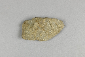
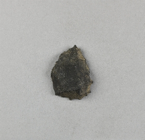
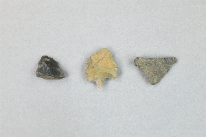
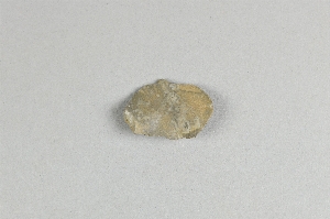
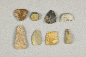
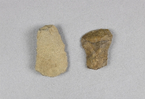
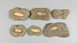
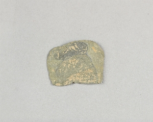
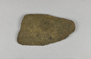
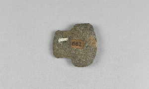
- chipped[134]
- actual citation[12]
1 - 32 of 190 Records

1 - 32 of 190 Records