Search Collections
- Object[227]
- yes[227]
- no[227]
- american[227]
- blade[4]
- chip[2]
- drill[3]
- folsom point[7]
- implement[1]
- knife[30]
- point[94]
- projectile point[1]
- scraper[60]
- spear point[22]
- spearhead[3]
- stem[1]
- tool[1]
- anderson lake[43]
- apache canyon[5]
- arizona[1]
- bailey county[1]
- beck forest lake[53]
- blowout mountain[4]
- box canyon[1]
- carlsbad[1]
- clovis[142]
- corpus christi area[1]
- eddy county[4]
- elm creek[2]
- garrett[6]
- gravel pit[29]
- gulf of mexico[1]
- harding county[10]
- lake[10]
- little pine canyon[1]
- live oak peninsula[14]
- mescal pit[1]
- miniosa draw[10]
- mora county[5]
- muerto creek[10]
- near abilene[6]
- near bueyeros[10]
- near carlsbad[2]
- near dalhart[3]
- near levy[5]
- near nara visa[10]
- near pasamonte[1]
- near san jon[3]
- near taos[2]
- near tecolote[4]
- near tucumcari[9]
- new mexico[196]
- nueces county[2]
- nugent[1]
- padre island[1]
- pot creek[2]
- quay county[28]
- ralph thayer ranch[1]
- rattlesnake point[1]
- red fish point[2]
- rincon[8]
- salinas creek[3]
- san miguel county[4]
- shattuck cave[1]
- site 2[1]
- site 3[4]
- st. charles bay[2]
- taos county[2]
- taylor county[1]
- texas[30]
- troutman ranch[9]
- united states of america[54]
- pueblo[1]
- "johnny-behind-the-deuce cave"[1]
- alongside of mammoth tusk[1]
- blow-out[1]
- blue bone-bearing sand on east side of gravel pit[1]
- brom lake[1]
- camp sire[1]
- camp site[5]
- creek bed of elm creek 7.5 mi. south of abilene[2]
- deep hearth on south side of erosion island[10]
- deep hearth on south side of erosion island... associated with extinct bison bones[1]
- east side of gravel pit[1]
- embedded in blue sand[2]
- embedded in sand[1]
- first terrace surface[2]
- found few feet from hearth[1]
- found in place at bottom of blue sand on east side of gravel pit[1]
- found in place in blue sand with extinct bison[1]
- found near mammoth bone[1]
- from lake 3 mi. w. of gravel pit near clovis, n.m.[1]
- just above mammoth tusk[2]
- lake 15 mi. east of gravel pit[1]
- lake 15 mi. west[3]
- lake 15 mi. west of gravel pit[1]
- lake south west[1]
- near extinct bison bones[2]
- near hearth[1]
- near mammoth bones[1]
- near mammoth tooth[1]
- near mammoth tusk[1]
- s.w. corner of gravel pit near mammoth bones[1]
- sand "blowout" 20-25 miles northeast of carlsbad[2]
- sand dune surface site near nugent[1]
- shell mounds[1]
- site 40 or 41[1]
- surface[18]
- surface in blown area[3]
- surface site[4]
- west side of gravel pit[2]
- chert[227]
- chipped[227]
- actual citation[16]
1 - 32 of 227 Records
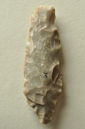
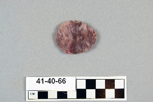
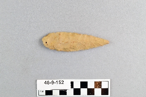
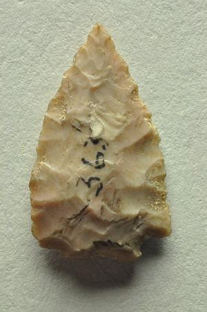
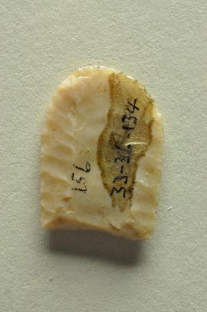
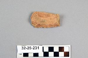
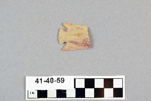
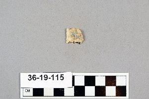
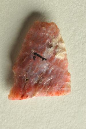
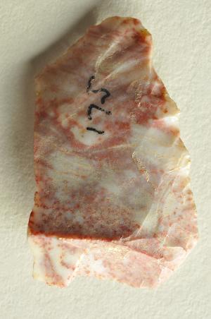
1 - 32 of 227 Records

