Search Collections
- Object[64]
- yes[64]
- no[64]
- american[64]
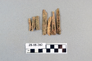
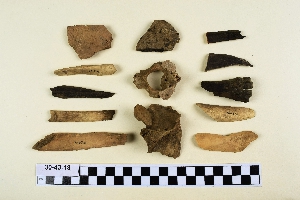
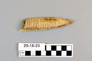
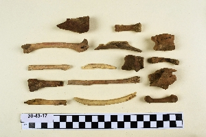
- animal bone[64]
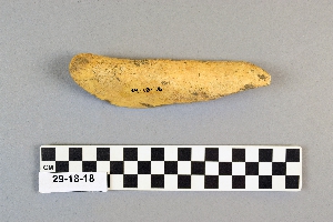
- awl[1]
- fragment[1]
- alibates creek[12]
- antelope creek[4]
- bivens estate ranch[12]
- canadian river[12]
- cliff house[7]
- cottonwood creek (texas)[1]
- culberson county[2]
- eddy county[3]
- handley ranch[4]
- indian hill[10]
- jones county (texas)[1]
- kings ruins[4]
- landergin[10]
- last chance canyon[3]
- lincoln national forest[3]
- near abilene[2]
- near carlsbad[3]
- new mexico[6]
- ochiltree county[4]
- putnam pit[1]
- rectangular pit house[11]
- reynold's ranch[1]
- rio grande region[3]
- san juan drainage[13]
- sandrock cave[3]
- southeastern utah[14]
- southwest colorado[1]
- taylor county[1]
- texas[44]
- united states of america[62]
- williams ranch[2]
- ancestral pueblo[1]
- basket maker[2]
- cliff dweller[6]
- pueblo[3]
- "surface site near abilene"[1]
- 16" below surface.[2]
- cave in sec. 13, block 121[2]
- dr. ray's site on clear fork of brazos river[1]
- jones or taylor counties[1]
- paint creek[1]
- rectangular pit house, 2d[1]
- rectangular pit house, 2d/10s, depth 21 to 25 in.[1]
- rectangular pit house, 2d/21s, depth 14 to 19 in.[1]
- rectangular pit house, 2d/24s[1]
- rectangular pit house, 2d/30s, depth 26-27 in.[1]
- rectangular pit house, 2d/33s, depth 33 in.[1]
- rectangular pit house, 2d/34s, depth 22-25 in.[2]
- rectangular pit house, 2d/34s?[2]
- rectangular pit house, 2d/46s, from "fire pit" in floor of pit house (i.e. in "blue floor" depth 36 in.)[1]
- rectangular pit house, 2d/4s, "top of hard soil" next to stones -- within pit house (about 10 in. below base of highest horizontal "capstones").[1]
- surface site in cotton field mile e. of lawn[1]
- animal bone[60]
- bone[2]
- deer bone[2]
- flint[1]
- burned[1]
1 - 32 of 64 Records
1 - 32 of 64 Records