Search Collections
- Object[457]
- yes[457]
- no[457]
- american[457]
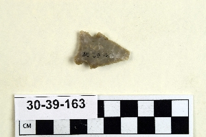
- arrowhead[23]
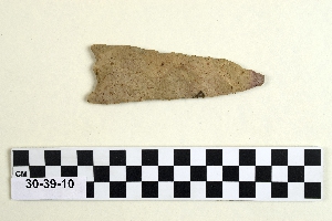
- knife[204]
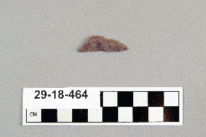
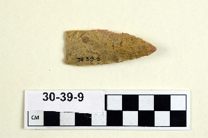
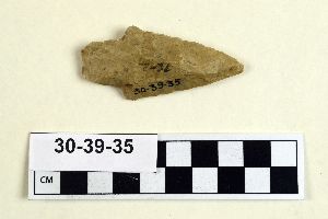
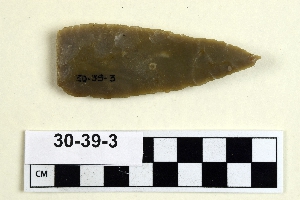
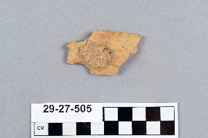
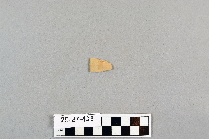
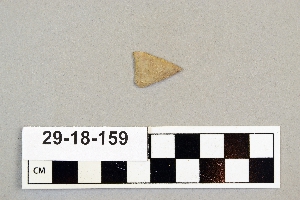
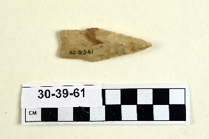
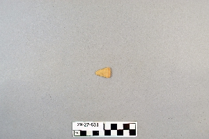
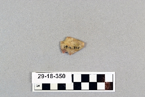
- projectile point[457]
- spear point[1]
- abilene[7]
- anderson canyon[2]
- anderson lake[1]
- antelope creek[7]
- boulder (colorado)[6]
- buffalo gap[2]
- canadian river[27]
- cass county[1]
- clovis[1]
- colorado[23]
- colorado river region[1]
- cottonwood creek (texas)[4]
- culberson county[2]
- curry county[3]
- davis county[1]
- eddy county[2]
- elgin[181]
- elm creek[1]
- florence (texas)[1]
- georgetown[2]
- gould ruin[25]
- gravel pit[4]
- gulf of mexico[3]
- handley ranch[25]
- hayes county[11]
- henry gault mound[1]
- indian hill[30]
- kings river[7]
- kings ruins[4]
- laguna madre island[5]
- lake canyon[1]
- landergin[31]
- lendsey farm[9]
- logan (new mexico)[1]
- mathews ranch[1]
- mulberry creek[4]
- near abilene[23]
- near albany[1]
- near clovis[4]
- near folsom[1]
- new mexico[10]
- north hills[1]
- nueces county[3]
- padre island[3]
- pecos[6]
- quay county[1]
- rockport[12]
- rosson's ranch[2]
- san marcos (texas)[11]
- southeastern utah[2]
- taylor county[4]
- texas[422]
- union county (new mexico)[1]
- united states of america[442]
- utah[1]
- williams ranch[1]
- williamson county (texas)[2]
- wolf creek[25]
- basketmaker[1]
- 0.75 mi. beyond bridge[1]
- 16" below surface.[1]
- bottom layer, 5 ft. deep.[1]
- cave in sec. 13, block 121[1]
- creek bed[6]
- elm creek surface site[1]
- fishpond excavation[11]
- flat place in front of cave[2]
- found in neighborhood of elgin[1]
- from old lake 1.5 mi. s.w. of gravelpit about 18 mi. s.w. of clovis[1]
- gravel pit[2]
- mesa site[1]
- near abilene[1]
- old lake 2 mi. south of gravel pit near clovis, n.m.[1]
- paint creek[8]
- region around rockport[17]
- rossen's ranch near lawn[2]
- surface[8]
- surface around gravel pit near clovis, n.m.[1]
- surface site[3]
- surface site in cotton field mile e. of lawn[1]
- surface, lendsey farm, near abilene.[3]
- chipped[187]
1 - 32 of 457 Records
1 - 32 of 457 Records