Search Collections
- Object[257]
- yes[257]
- american[257]
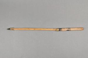
- arrow[41]
- arrow point[1]
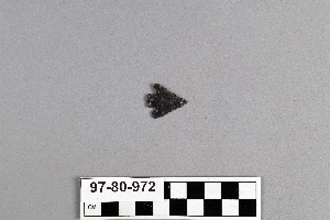
- arrowhead[27]
- bead[1]
- beads[1]
- blade[18]
- blade fragment[4]
- bone fragment[1]
- chip[6]
- chips[1]
- core[7]
- drill[3]
- earring[4]
- eccentric obsidian[1]
- fetish[1]
- figurine[1]
- flake[12]
- flake scraper[1]
- flakes[1]
- graving tool[1]
- implement[6]
- knife[26]
- knife blade[7]
- labret[5]
- mirror[1]
- mollusk shell[1]
- obsidian[2]
- obsidian fragment[1]
- pebble[1]
- pendant[1]
- point[38]
- projectile point[29]
- ritual blade[1]
- scraper[7]
- shaft scraper[1]
- spear thrower[1]
- spearhead[3]
- tool[2]
- vessel[1]
- vessel fragment[1]
- anderson lake[1]
- antelope creek[1]
- apache national forest[2]
- arizona[5]
- ascension island[1]
- atla[3]
- british columbia[1]
- california (state)[23]
- canada[1]
- canadian river[4]
- canon del molino[1]
- cave[2]
- central america[5]
- chaco canyon pueblo[1]
- chalchicomula[1]
- chama (guatemala)[2]
- chihuatal[1]
- chipal[2]
- cholula[4]
- clovis[2]
- colonia dublan[1]
- colorado[6]
- colorado river[2]
- cottonwood creek (texas)[1]
- curry county[1]
- department of quiche[2]
- department of zacapa[1]
- distrito federal[1]
- durango[7]
- fresno county[10]
- gravel pit[1]
- great plains (plain)[3]
- greater southwest[1]
- guatemala[13]
- haystack mountain (wymoming)[1]
- indian hill[3]
- kings ruins[1]
- kixpek[7]
- lake[1]
- landergin[4]
- las vegas[1]
- logan (new mexico)[5]
- mancos spring[1]
- manrique[1]
- mexico (central america)[67]
- mexico city[1]
- miniosa draw[3]
- missouri[1]
- mitla[1]
- montezuma county[1]
- near clovis[1]
- near nara visa[3]
- near taos[1]
- new mexico[36]
- north america[3]
- oaxaca[4]
- oaxaca (mexican state)[4]
- oregon[42]
- park county (wyoming)[3]
- pennsylvania[1]
- peru[2]
- pike county (pennsylvania)[1]
- pisco valley[1]
- plains area[6]
- polard lake[1]
- pot creek[1]
- puebla (mexican state)[5]
- pueblito[1]
- pueblo bonito[1]
- quay county[8]
- railroad mountain[2]
- rio grande[2]
- s.v.bolar[1]
- san juan teotihuacan[1]
- san juan teotitlan del camino[1]
- site 10[1]
- site 3[1]
- site 5[2]
- site 8[1]
- southeastern utah[7]
- southwest colorado[3]
- taos county[1]
- teotihuacan[4]
- tesuque[8]
- teul[3]
- texas[7]
- tranquillity[10]
- tranquillity site[10]
- united states of america[28]
- utah[3]
- valley of mexico[11]
- washakis basin[1]
- wyoming[6]
- yellowstone national park[3]
- zacatecas[3]
- ancestral pueblo[4]
- apache[1]
- basket-maker[3]
- chalchihuites[5]
- cheyenne (culture)[7]
- cliff dweller[3]
- highland maya[2]
- hupa[5]
- lakota[4]
- maya[1]
- plains indian[2]
- pomo[4]
- pueblo[3]
- teotihuacan[9]
- tewa (culture)[8]
- ticoman[4]
- zapotec[2]
- zuni[1]
- excavated area adjoining sides of squares 10z and 10aa[1]
- excavated area at adjoining sides of square 10z and 10aa[1]
- first terrace surface[1]
- fossil lake. "upper pliocene mammal bed"[1]
- found near na11198[1]
- from lake bank, 1 mi. s.e. of gravel pit near clovis, n.m.[1]
- loose on surface of slough[1]
- mesa site[1]
- mound 1[1]
- mound covering ancient adobe walls between hacienda of san leon & mexico city[1]
- northeast dump of gravel pit, surface[1]
- ruin b[7]
- square 10aa, about 1.00 meters from stake 11aa; at surface of "pink consolidated soil" at base of white sand.[1]
- square 11x[1]
- square 11z[1]
- square 12x, 2.00 meters west of stake 12x, in pocket of "hard soil" (below white sand and/or silt)[1]
- square 12y[1]
- square 12y?[1]
- square 9u, 5.00 meters north, 1.75 meters east of stake 9u; 40 cm. below final surface; probably slightly above buried "level b" surface as determined at nearby pit 1a[1]
- surface[1]
- surface find[2]
- tomb with 915 and 916[1]
- actual citation[43]

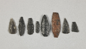
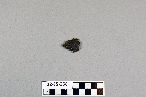
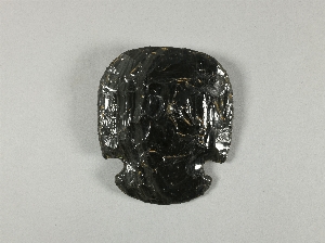
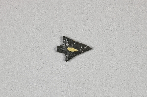
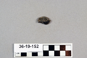
1 - 32 of 257 Records