Search Collections
- Object[237]
- no[237]
- american[237]
- adams county (mississippi)[2]
- alaska[40]
- albany county[2]
- alibates creek[7]
- allen county (kansas)[2]
- arizona[1]
- bahamas[1]
- bivens estate ranch[7]
- bolivia[1]
- bristol (pennsylvania)[1]
- brownsville[1]
- bucks county[2]
- burlington county[2]
- burlington island[2]
- cabarrus county[1]
- cecil county[1]
- central america[1]
- chaco canyon pueblo[1]
- china grove[15]
- clearfield farm[1]
- colorado[1]
- connecticut[1]
- cook inlet[3]
- corpus christi[1]
- corpus christi area[1]
- cottonwood creek (alaska)[2]
- delaware[1]
- delaware county (pennsylvania)[1]
- delaware valley[6]
- delaware water gap[16]
- eastern united states[3]
- ellsworth[2]
- fairmount park[1]
- fayette county (pennsylvania)[1]
- flint ridge[1]
- fox farm[1]
- grant creek[2]
- gum island[1]
- hancock county (maine)[2]
- idaho[1]
- indiana[1]
- island of eleuthera[1]
- juniata county[1]
- kachemak bay[2]
- kansas[2]
- kent county (delaware)[1]
- kittitas county[9]
- lancaster county (pennsylvania)[2]
- licking county[1]
- logan county (ohio)[1]
- maine[2]
- marshall county (west virginia)[89]
- maryland[1]
- mercer county[7]
- mexico (central america)[2]
- michigan[1]
- mississippi[2]
- missouri[1]
- monongahela river[1]
- monroe county (pennsylvania)[16]
- montgomery county (pennsylvania)[1]
- muskegon[1]
- muskegon county[1]
- near wheeling[1]
- new jersey[10]
- new mexico[2]
- new york[4]
- north america[2]
- north carolina[18]
- nueces county[2]
- ohio[1]
- ohio county (west virginia)[66]
- pennsylvania[27]
- petronillo creek[1]
- philadelphia[1]
- philadelphia county[1]
- phirapi fortress[1]
- pottstown[1]
- pueblo bonito[1]
- qngaqesle[1]
- refuge island[1]
- renselaer county[2]
- rio grande region[1]
- ross site[1]
- rowan county[15]
- stony point[2]
- suther's[15]
- texas[9]
- trenton[7]
- unalakleet[36]
- union river[2]
- united states of america[177]
- vandenburg hill[2]
- voorhiesville[2]
- walker (north carolina)[2]
- washington (u. s. state)[9]
- washington boro[2]
- west virginia[89]
- wheeling[88]
- wheeling quadrangle[21]
- ancestral pueblo[2]
- eskimo[2]
- prehistoric eskimo[2]
- salishan[9]
- uinta ute[1]
- 1 k 4', ii[1]
- 10' - 10' 8"[1]
- 4 1/2 ' below surface.[1]
- farmland[1]
- from brandywine (laubach) camp-site.[1]
- house 119[4]
- house 120[15]
- house 2[9]
- house 3[6]
- ip house[2]
- n 0.75, w 1.5 - on compacted gravel level, continuation of house wall[1]
- n 1, w 0.25 - in level which is continuation of house wall[1]
- n 1, w 1.75 -- house wall continuation[1]
- n 2.25, w 5 - in floor[1]
- n 2.5, w 2.75 - floor[1]
- n 4, w 1.25 - in lowest level (of 3) below sod in northeast quadrant[1]
- n 5, w 3.5 - in floor[1]
- n 5, w 4 - floor[1]
- n 5.5, w 3 - floor[1]
- s 5, e 2 - in gravel level below slightly sandy soil[1]
- s 5.5, w 2 - in middle floor[1]
- s 6.5, e 3 - gravel level under thin, greasy black-brown[1]
- s 7, e 0 - first (top) charcoal level of test pit[1]
- s 8, w 3 - in tip line over the first (latest) floor (i.e., top tip line).[1]
- site 45-ki-19[9]
- surface[2]
- test pit - charcoal level beneath dark brown gravel level[1]
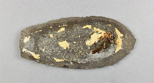
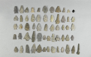
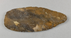
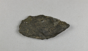
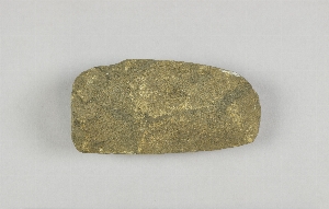
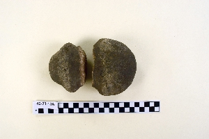
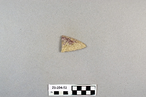
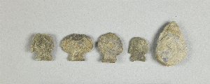
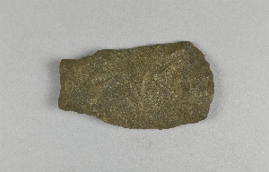
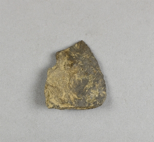
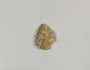
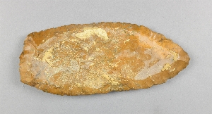
- chipped[160]
- actual citation[24]
1 - 32 of 237 Records