Search Collections
- Object[1,094]
- yes[1,094]
- no[1,094]
- american[1,094]
- arrowhead[1,094]
- blade[2]
- drill[1]
- firemaking set[1]
- knife[45]
- projectile point[12]
- scraper[4]
- spear[4]
- spear point[1]
- spearhead[2]
- stone fragment[1]
- tool[1]
- alaska[10]
- allegheny county (pennsylvania)[2]
- aransas county[46]
- arizona[66]
- atlantic county[6]
- austin (texas)[4]
- bergen county[6]
- berks county[5]
- birchrunville[6]
- brackettville[4]
- brown's farm[3]
- bucks county[75]
- burlington county[45]
- cape henlopen[7]
- catawba (new jersey)[6]
- cave[2]
- cayuga county[2]
- cecil county[3]
- chaco canyon pueblo[11]
- chester county[29]
- claymont[4]
- clinton county[81]
- colorado[77]
- colorado river[2]
- colorado river canyon[2]
- connecticut[3]
- corpus christi[2]
- corpus christi area[34]
- crane's neck[3]
- david rose's ranch[4]
- delaware[19]
- delaware water gap[228]
- district of columbia[57]
- dr. pearce mound[6]
- fairfax county[2]
- florence (texas)[22]
- french creek[14]
- fry's run[3]
- fulton county (pennsylvania)[2]
- hammonasset[2]
- henry gault mound[16]
- ingleside cove[3]
- kansas[5]
- kerr county[2]
- kerrville[2]
- kimberton region[14]
- laguna madre islands[22]
- lancaster county (pennsylvania)[13]
- lehigh county[2]
- live oak point[3]
- lock haven[81]
- lumberton[36]
- maryland[3]
- missouri[14]
- monroe county (pennsylvania)[208]
- montgomery county (pennsylvania)[3]
- morgantown road[25]
- naaman's creek[4]
- near abilene[12]
- near englewood[5]
- new castle county[4]
- new jersey[117]
- new mexico[13]
- new york[6]
- north america[9]
- north slope borough[9]
- northampton county[9]
- nueces county[93]
- nueces dam[5]
- nugent ranch[6]
- nunavak[9]
- oregon[13]
- padre island[4]
- pennsylvania[478]
- philadelphia[3]
- philadelphia county[3]
- point barrow region[9]
- point pleasant[5]
- puebla de chelly[6]
- pueblo bonito[12]
- raubsville[3]
- reading (pennsylvania)[5]
- refugio county[11]
- region of palisades[6]
- riegelsville[30]
- rockport[3]
- san patricio county[8]
- sandy springs[8]
- schultz farm[3]
- schuylkill county[14]
- sheeders[14]
- southeastern utah[7]
- suffolk county (long island)[3]
- sussex county (delaware)[7]
- texas[249]
- united states of america[1,094]
- utah[65]
- warren county (new jersey)[20]
- washington boro[13]
- williamson county (texas)[6]
- birnirk[9]
- late archaic[1]
- modern[1]
- algonquin[63]
- ancestral pueblo[49]
- cliff dweller[4]
- eskimo[10]
- iroquois[27]
- late archaic[1]
- native american[1]
- sisseton[1]
- uinta ute[1]
- "riverside"[1]
- 15 mi. s. of amarillo[2]
- 48" level[1]
- banks of connecticut river[1]
- blink bonnie site[2]
- bonito & other pueblos of chaco canyon[1]
- bottom layer, 5 ft. deep.[14]
- burnt mound[4]
- callo del oso[20]
- camp site at north end of padre island[4]
- cave/cliff dwelling[2]
- copano bay, redfish point[7]
- dr. ray's site on clear fork of brazos river.[1]
- farm about 3 mi. above lock haven on south bank of west brnach of susquehanne river, surface.[1]
- found in tree[1]
- frank moran's farm, surface[4]
- from a shell-heap, near lewes[5]
- from brandywine (laubach) camp-site.[29]
- from roadside gutter[25]
- from rock shelter[14]
- from surface of fork of brazos river.[1]
- from surface on flood plain of delaware river[1]
- from the upper surface.[2]
- g, 2'6" - 3', vi[1]
- gravel pit[1]
- hays stewart farm, operation ii, surface[9]
- in the sand stratum or at its base[1]
- jasper quarry[1]
- mckinney's farm, mouth of mcelhatten creek, south isde of west branch of susquehanna river, 4 mi. below lock haven. surface[2]
- monro farm, operation i, pit #26, depth 10 in[1]
- monro farm, operation i, pit #26, depth 7-8 in[1]
- monro farm, operation i, pit #26, depth 8 in[1]
- mound 1[9]
- mound near rancocas creek; "bottom level"[1]
- mound near rancocas creek; "intermediate level"[1]
- mounds near austin[2]
- mr. snider's garden[1]
- near abilene[2]
- near lewes, from a shell heap[2]
- near mobile[1]
- operation iii[1]
- operation iii, pit # e and f, -3[2]
- operation iii, pit # g, -1[1]
- peet island[1]
- pine station[4]
- pine station, quiggle farm, operation iii, pit no. e and f, -3. depth, surface to 14 in[1]
- pine station, quiggle farm, operation iii, pit no. g and h, -1 and -2. depth not recorded.[2]
- pine station, quiggle farm, operation iii, surface.[3]
- quiggle farm[4]
- ruin along ancient ditch near englewood[5]
- shaw's farm, mouth of pine creek, below lock haen on west branch pf susquehanna river, surface[7]
- shell mounds[18]
- site 48 (dewitt farm)[1]
- site 51[1]
- site 58[1]
- site near mouth of aransas river[11]
- stratum of sand at its base.[1]
- surface[7]
- surface and misc. finds[5]
- surface and miscellaneous finds[1]
- surface of detritus from cave which was excavated[1]
- surface site[2]
- surface, neighborhood generally[5]
- van campen's island[2]
- vicinity, surface[39]
- village site and quarry[1]
- amethyst[1]
- antler[9]
- argillite[67]
- calcite[2]
- carnelian[2]
- chalcedony[53]
- chert[109]
- copper[4]
- crystalline quartz[4]
- flint[193]
- glass[1]
- hornstone[5]
- jasper[72]
- milky quartz[9]
- obsidian[4]
- punk[1]
- quartz[6]
- quartzite[16]
- red jasper[16]
- rock crystal[1]
- shale[3]
- shark tooth[2]
- shell[4]
- slate[6]
- steel[1]
- stone[514]
- white quartz[3]
- yellow jasper[7]
- actual citation[349]
1 - 32 of 1,094 Records
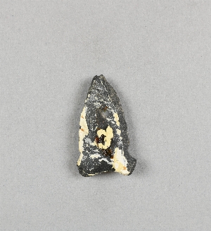
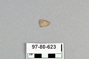
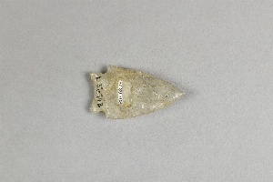
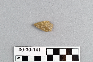
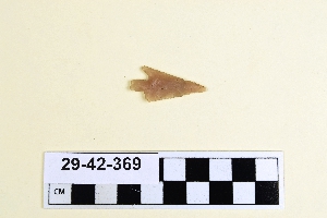
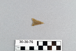
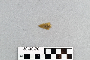
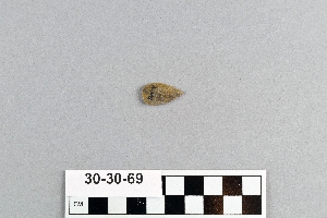
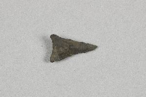
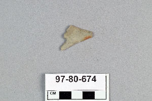
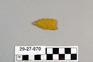
1 - 32 of 1,094 Records

