Search Collections
- Object[957]
- yes[957]
- no[957]
- american[957]
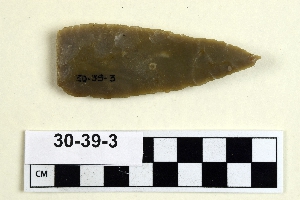
- axe[1]
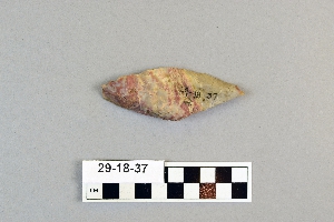
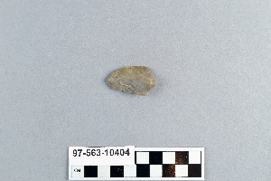
- blade[1]
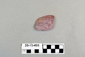
- celt[2]
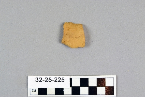
- flakes[1]
- knife[957]
- point[1]
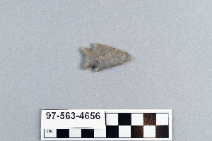
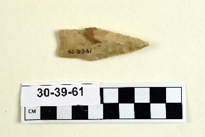
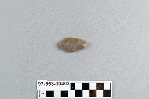
- projectile point[281]
- scraper[40]
- spear point[2]
- spearhead[2]
- abilene[13]
- alibates creek[35]
- antelope creek[15]
- aransas county[1]
- austin (texas)[1]
- bivens ranch[5]
- blowout mountain[11]
- buffalo gap[9]
- calhoun county[2]
- canadian river[113]
- cottonwood creek (texas)[33]
- culberson county[2]
- deal[16]
- elgin[259]
- elm creek[19]
- florida[1]
- georgetown[40]
- gould ruin[12]
- guadalupe mountains[1]
- gulf of mexico[3]
- handley ranch[12]
- hayes county[4]
- high terrace[3]
- indian hill[16]
- kerr county[1]
- kerrville[1]
- kings river[1]
- kings ruins[17]
- lake county (illinois)[1]
- landergin[31]
- lendsey farm[14]
- mathews ranch[3]
- near abilene[76]
- near albany[3]
- northwestern united states[1]
- nueces county[3]
- nugent[2]
- nugent ranch[1]
- padre island[3]
- pit house[5]
- potter county (texas)[15]
- rosson's ranch[4]
- san antonio (texas)[3]
- san marcos (texas)[4]
- taylor county[2]
- texas[957]
- united states of america[955]
- williams cave[1]
- williams ranch[1]
- williamson county (texas)[48]
- wolf creek[12]
- wyatt farm[10]
- 0.75 mi. beyond bridge[4]
- 16" below surface.[1]
- below surface/above main floor of burnt house[2]
- cave in sec. 13, block 121[1]
- creek bed of elm creek 7.5 mi. south of abilene[5]
- elm creek surface site[4]
- fishpond excavation[4]
- found in neighborhood of elgin[1]
- gravel pit[9]
- mesa site[13]
- near mouth of elm creek[9]
- paint creek[9]
- pit house floor[4]
- rossen's ranch near lawn[4]
- sand dune surface site near nugent[2]
- site 48 (dewitt farm)[1]
- surface[20]
- surface near deal[13]
- surface site[27]
- surface site in cotton field 1 mi. e. of lawn[2]
- surface site in cotton field mile e. of lawn[16]
- surface site near abilene[9]
- surface, lendsey farm, near abilene.[2]
- surface.[1]
1 - 32 of 957 Records