Search Collections
- Object[2,429]
- yes[2,429]
- no[2,429]
- american[2,429]
- alabama[64]
- arizona[41]
- arkansas[28]
- auburn[64]
- bainbridge (pennsylvania)[53]
- beck forest lake[4]
- berks county[364]
- big timber creek[138]
- boyertown[225]
- brandywine[8]
- bridgeport[18]
- bristol (pennsylvania)[11]
- bucks county[111]
- burlington county[14]
- camden county[4]
- chester county[259]
- chickies[40]
- clarksboro[4]
- clovis[49]
- colorado[42]
- columbia (pennsylvania)[28]
- conoy township[4]
- corpus christi[23]
- delaware[8]
- delaware county (pennsylvania)[10]
- delaware valley[8]
- delaware water gap[6]
- doylestown[5]
- east greenwich township[4]
- east hanover[45]
- east tennessee[68]
- eddy county[5]
- elgin island[5]
- fairview[6]
- florida[68]
- georgetown[79]
- gloucester county[176]
- gravel pit[45]
- hammonton[8]
- hans hoch's fields[7]
- hansell farm[8]
- illinois[5]
- ingleside cove[5]
- inskip region[7]
- johnson's creek[6]
- keith manour[6]
- lancaster county (pennsylvania)[351]
- lee county (alabama)[64]
- lehigh county[15]
- leon county[57]
- lewisburg region[8]
- live oak peninsula[56]
- locust grove[7]
- logan township[18]
- markham[10]
- mercer county[72]
- milford road[137]
- mississippi[5]
- missouri[37]
- monmouth county[35]
- monroe county (pennsylvania)[7]
- montgomery county (pennsylvania)[13]
- moorestown[14]
- near dalhart[10]
- neuces[9]
- new holland[5]
- new jersey[436]
- new mexico[58]
- northumberland county[21]
- nueces county[30]
- old lake[6]
- oley[50]
- pechoqueolin creek[17]
- pennsylvania[1,263]
- philadelphia[25]
- philadelphia county[25]
- pohopoco creek[11]
- pottstown[13]
- pricetown[42]
- puerto bay[13]
- red fish point[7]
- red river[29]
- rincon[39]
- rockport[12]
- salinas creek[16]
- smith creek[5]
- st. charles bay[14]
- susquehanna river[22]
- susquehanna river valley[5]
- tallahassee[64]
- tennessee[5]
- texas[381]
- trenton[70]
- union county (pennsylvania)[10]
- united states of america[2,429]
- utah[41]
- uwchlan township[137]
- washington boro[123]
- williamson county (texas)[79]
- witmer's farm[38]
- algonquin[1]
- basket maker[2]
- calusa[1]
- choctaw[1]
- comanche[9]
- early archaic[1]
- kachemak bay culture iii[1]
- prehistoric eskimo[1]
- pueblo[1]
- woodland[137]
- "bottom level"[1]
- "johnny-behind-the-deuce cave"[1]
- 1 mi. s.e. of gravel pit near clovis, n.m.[1]
- 2 mi. w. of gravel pit near clovis, n.m.[8]
- 3'3" - 3'9"[1]
- 4 k.[1]
- a known comanche site[5]
- anderson lake, about 15 mi. s.e. of clovis, n.m.[3]
- blow-out[1]
- bottom layer, 5 ft. deep.[1]
- bottom level.[2]
- c, 1' - 1' 6", ix[1]
- creek bed of elm creek 7.5 mi. south of abilene[1]
- field immediately over cave[1]
- field immediately over cave.[3]
- from 2 mi. w. of gravel pit near clovis, n.m.[1]
- from lake 3 mi. w. of gravel pit near clovis n.m.[1]
- from lake 3 mi. w. of gravel pit near clovis, n.m.[8]
- from lake bank 1 mi. s.e. of gravel pit near clovis, n.m.[3]
- from lake bank, 1 mi. s.e. of gravel pit near clovis, n.m.[1]
- from meadows below trenton.[1]
- from old lake 1.5 mi. s.w. of gravelpit about 18 mi. s.w. of clovis[2]
- from old lake west of gravel pit about 18 mi. s.w. of clovis[4]
- from roadside gutter[2]
- from rock shelter[1]
- from top layer of mound.[1]
- garden[1]
- gravesend beach neck, 1 mile east of pedricktown[2]
- hanover neck[45]
- in susquehanna river[4]
- indian village site on old keith manour[6]
- island in susquehanna river[25]
- layer 9[1]
- mescal pit in small canyon north of dark canyon near carlsbad, n.m.[1]
- mound near rancocas creek[6]
- mound near rancocas creek; "intermediate level"[6]
- old lake 2 mi. south of gravel pit near clovis, n.m.[6]
- old lake west of gravel pit near clovis, n.m.[1]
- operation iii[1]
- opposite locust grove haldeman estate[4]
- pine station[1]
- quiggle farm[1]
- rectangular pit house, 2d/2b, 15 in. below surface -- at base of humus.[1]
- river bank[8]
- rowland's farm[2]
- sand "blowout" 20-25 miles northeast of carlsbad[1]
- shell heap[2]
- site 40 or 41[1]
- squankum[3]
- surface[4]
- surface 100 yds. west of gravelpit about 17 mi. s.w. of clovis[1]
- surface around gravel pit near clovis, n.m.[6]
- surface in blown area[8]
- surface site[1]
- surface, blown area[2]
- upper creek[1]
- vicinity, surface[1]
- walled cave rocky arroyo seep 50-60 miles west of carlsbad[1]
- west side of gravel pit[2]
- agate[2]
- argillaceous material[33]
- argillite[159]
- basalt[10]
- bird bone[1]
- bone[3]
- chalcedony[301]
- chert[275]
- copper[2]
- deer bone[2]
- felsite[2]
- fish bone[3]
- flint[209]
- glass[6]
- graywacke[1]
- hornfels[2]
- jasper[180]
- obsidian[5]
- pebble[1]
- quartz[329]
- quartz crystal[1]
- quartzite[226]
- red jasper[1]
- rhyolite[39]
- rose quartz[1]
- sandstone[2]
- shale[46]
- silt[1]
- siltstone[3]
- sinew[1]
- slate[5]
- smoky quartz[1]
- stone[573]
- white quartz[3]
- wood[1]
- yellow jasper[4]
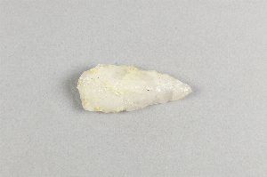
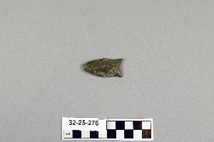
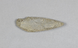
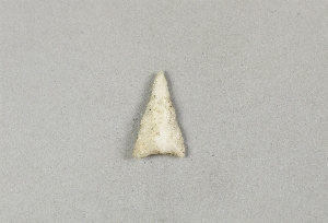
- chipped[1,114]
- side notched[4]
- actual citation[13]
1 - 32 of 2,429 Records
1 - 32 of 2,429 Records