Search Collections
- Object[471]
- no[471]
- american[471]
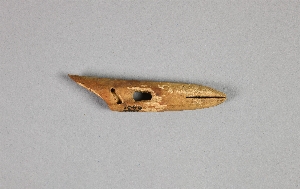
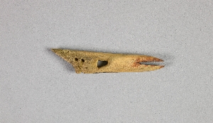
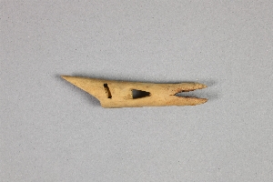
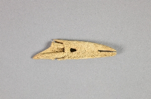
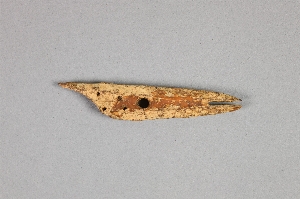
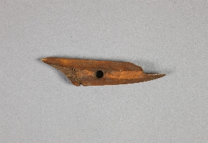
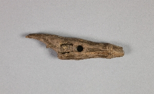
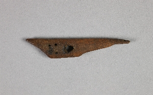
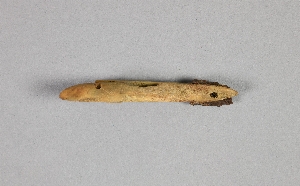
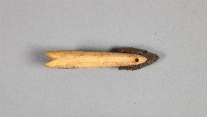
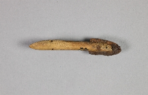
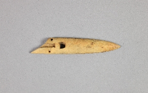
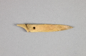
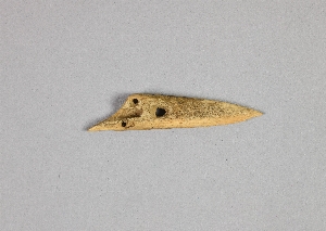
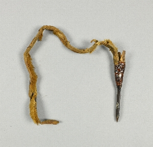
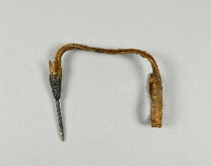
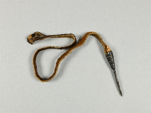
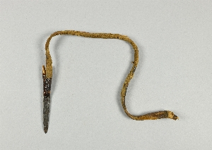
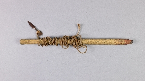
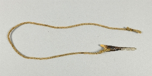
- harpoon head[471]
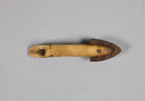
- harpoon head case[1]
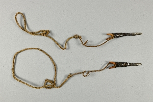
- leister[1]
- line[3]
- toy[4]
- admiralty island[2]
- alaska[425]
- angmagssalik district[2]
- baffin island[2]
- california (state)[7]
- canada[9]
- cape denbigh[2]
- cape dorset[2]
- cape prince of wales[6]
- chaik bay[1]
- coats island[3]
- cook inlet[4]
- daxatkanada fort[8]
- east cape[18]
- fox farm[1]
- greenland[4]
- gulf of boothia[1]
- hawkins island[3]
- hood bay[1]
- humboldt county[2]
- hupa valley[2]
- indian island[1]
- iyatayet[2]
- kachemak bay[2]
- knight island[10]
- kootznahoo inlet[8]
- kugusugaruk[18]
- kurile island[1]
- labrador[2]
- lower yukon river valley[1]
- new grayling[1]
- north america[31]
- north slope borough[29]
- northampton island[1]
- northern alaska[8]
- northern british america[2]
- northwest territories[1]
- norton sound[2]
- nunavak[12]
- nunivak island[2]
- nuwuk[184]
- old town[9]
- palugvik village[3]
- pegnuek[1]
- point barrow[39]
- point barrow region[218]
- point hope[94]
- point spencer[3]
- prince william sound[3]
- rock shelter[1]
- siberia[19]
- st. lawrence bay[1]
- united states of america[366]
- utkiavik[22]
- walukpant[2]
- west greenland[2]
- yakutat bay[10]
- yukon island[20]
- eskimo[395]
- hupa[7]
- inuit[20]
- kachemak bay culture iii[4]
- kachemak bay culture sub-iii[2]
- kootsnuhu tlingit[2]
- naskapi[2]
- neo-eskimo[3]
- nukleet[2]
- prehistoric eskimo[17]
- thule[16]
- yakutat (culture)[1]
- 0'3'3" n of sw corner of square[1]
- 10'2" - 10'7"[1]
- 2 d, 1' 6" - 2', vii or viii[1]
- 2 d, 5' 3" - 5' 9", vii[1]
- 4 h, (12' 6" - 13'), layer i[1]
- 4 h, (13' 6" - 14'), layer 1[3]
- 4 j[2]
- 4 j, 1'3" - 1'10"[1]
- 4 k[1]
- 4 k, 13' 8" - 14' 2", layer 1[1]
- 4'2" e and 2' north of sw corner of square[1]
- 5 h, 11' 10" - 12' 4", layer 1[1]
- 5 j, 11' 6" - 12', layer 1[1]
- 5 k, 11' 6" - 12', layer 1[1]
- 5'3" - 5'9"[1]
- 8'5" - 9'[1]
- 9' 6" - 10'[1]
- b2e. 17" below surface.[1]
- b2e. 7" below surface[1]
- beach[1]
- beach below fort[1]
- c2e 6-12"[1]
- c3e below 18" - on edge of shelf - in midden mantle above burned layer[1]
- dark brown midden with thermal fractured rock[1]
- dark grey sand with charcoal fragments.[1]
- depth 6.5", gray sandy midden[1]
- e, 4' 4" - 4' 9", vii (vi ?)[1]
- e, 4' 4" - 4' 9", vii (vi ?) (just below loose shells)[1]
- f1w - under large rock. compact dark midden in pit below loose shells[1]
- f2e 0-6"[1]
- fe3 0-6"[1]
- h2e 12-18"[1]
- house 13, floor[1]
- house 8, fill, depth ca.49", on top of horizontal, collapsed wall of subsurface pit 24[1]
- iyem b-c[1]
- iyh 3 floor[1]
- layer 5a[1]
- layer 5a?[1]
- layer 7[1]
- layer 8[1]
- layer 8 or 7?[1]
- midden - west point - 2' 6" above bottom.[1]
- mound 1[20]
- mound 2[2]
- mound 3[3]
- mound 5[4]
- mound 6[1]
- mound 8, under floor in subsurface, pit #24,[1]
- mound a, near house 5[1]
- mound a, upper level, depth 11"[1]
- mound a, upper level, depth:14 in[1]
- mound b, lower level, depth 31", brown sandy midden[1]
- mound b, lower level, depth 31", dark grey sand with charcoal fragments.[1]
- mound b, lower level, depth:26"[1]
- mound b, lower level, depth:38, pit #8,[1]
- mound d, upper level, depth 13", dark rocky midden[1]
- n. surface - 1' 6"[1]
- new midden[1]
- rubbish heap, west point.[1]
- stratum i or ii, 2d, level 2[1]
- carved[6]
- perforated[2]
- actual citation[12]
1 - 32 of 471 Records

1 - 32 of 471 Records