Search Collections
- Object[195]
- no[195]
- american[168]
- asian[11]
- near eastern[16]
- alaska[87]
- albany county[1]
- albany region[1]
- aleut village[1]
- arizona[1]
- brownsville[2]
- cabarrus county[9]
- canada[1]
- canal zone[33]
- cape darby[5]
- cape denbigh[66]
- chaco canyon pueblo[1]
- clovis[2]
- colorado[1]
- cook inlet[1]
- crescent river[1]
- duke (north carolina)[1]
- durango[1]
- dutch harbor[1]
- fayette county (pennsylvania)[2]
- florida[1]
- frazer site[1]
- ganj dareh[1]
- garrett[1]
- grant creek[1]
- gravel pit[1]
- gungnuk site[2]
- hajji firuz[1]
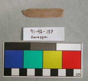
- harappa[1]
- hasanlu[1]
- illinois[1]
- iran[16]
- iyatayet[66]
- kerr county[3]
- kerrville[3]
- kincaid site[1]
- kugusugaruk[1]
- lewis lake[1]
- live oak peninsula[1]
- livingston county (new york)[2]
- louisiana[3]
- madjujuinuk site[3]
- manitoba[1]
- marshall county[6]
- marshall county (west virginia)[1]
- maryland[1]
- massac county[1]
- metropolis[1]
- mexico (central america)[1]
- michigan[1]
- mississippi[3]
- mississippi valley[1]
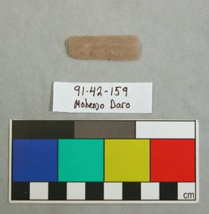
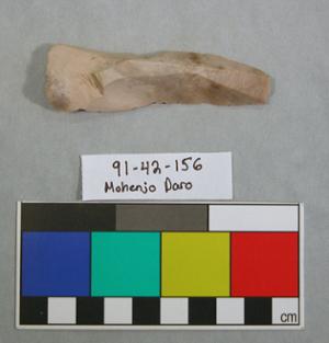
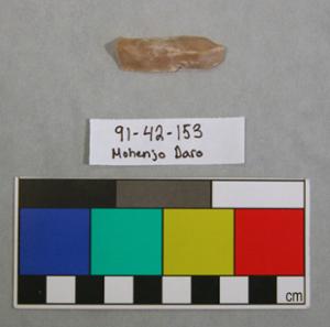
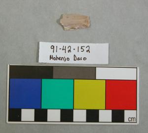
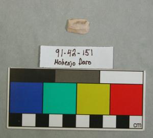
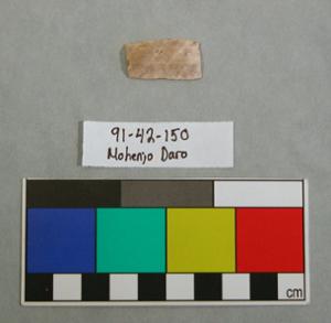
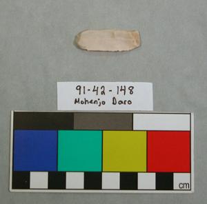
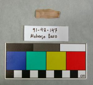
- mohenjo-daro[8]
- monongahela river[2]
- mt. morris[2]
- natchez (mississippi)[1]
- neal[9]
- near wheeling[3]
- new mexico[5]
- new paltz[2]
- new york[8]
- north america[1]
- north carolina[11]
- north slope borough[1]
- norton sound[71]
- ohio county[6]
- ohio county (west virginia)[1]
- oneida county[1]
- pakistan[9]
- panama[33]
- pennsylvania[2]
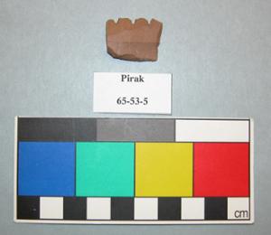
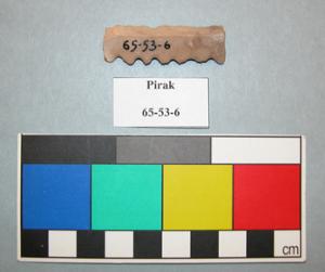
- pirak[2]
- pisdeli[1]
- point barrow region[1]
- point hope[1]
- pueblo bonito[1]
- quay county[1]
- queen anne county[1]
- rayy[7]
- rincon[1]
- rings end[1]
- rio grande region[1]
- saginaw county[1]
- schoharie county[2]
- siabid[2]
- site 3[1]
- tal-i-bakun[3]
- tallahassee[1]
- texas[4]
- tihabawassee river[1]
- ulster county[2]
- unalakleet[4]
- unalaska island[1]
- united states of america[116]
- walker (north carolina)[1]
- west pakistan[2]
- west punjab[1]
- west virginia[7]
- wheeling[1]
- yukon island[8]
- rayy[7]
- 3 h[1]
- 3'6" - 4'[1]
- 4 h, (13' 6" - 14'), later 1[1]
- 4 j, 13' 6" - 14', layer 1[1]
- 4 k, (13' 8" - 14' 2"), layer 1, bottom of midden[1]
- 5 h, 12' 4" - 12' 10", layer 1[1]
- 5 j, 12' 6" - 13', layer 1[1]
- camp sire[1]
- gun.[2]
- hi-d[1]
- house 110[1]
- house 115[1]
- house 118[1]
- ip house[1]
- iy[2]
- iya2[1]
- iyad[1]
- iyai[1]
- iyal 4-6[1]
- iyb[2]
- iybl[1]
- iye[3]
- iye m[3]
- iyea[3]
- iyh[1]
- iyh 2[1]
- iyh 3[1]
- iyh-7[2]
- iyh7-w[1]
- iyhi uf-2[1]
- iyhi-d[2]
- iyhi-t[1]
- iym[5]
- iyo[1]
- iyp[1]
- iypa[1]
- iypah[2]
- iypc[1]
- iypc mid[1]
- iypcm[1]
- iype-1[2]
- iype-2[2]
- iype-3 lm[1]
- iype-5 lm[1]
- iype-5 m[2]
- iype-7[1]
- iype-7 b[1]
- iype-8[1]
- iypf-5upm[1]
- iypf-l lm[1]
- iyph[1]
- iyph m[3]
- iyr 1, 2[1]
- iyz 5[5]
- iyz-3m[1]
- layer 10 ft. below surface.[1]
- layer 7[1]
- m, 4' 6" - 5', layer 4?[1]
- mad[3]
- mound 2[1]
- possible 25-50 yards from water's edge, surface[1]
- rock at mouth of river[1]
- rome[1]
- sand plains[1]
- sect. 30 thomas tp. and sect. 31 james tp.[1]
- site 40 or 41[1]
- tailings[1]
- village site is 1/2 mile southwest of dutch harbor[1]
1 - 32 of 195 Records