Search Collections
- Object[525]
- no[525]
- american[420]
- european[96]
- near eastern[3]
- oceanian[6]
- "su" site near reserve[1]
- alaska[203]
- albany county[1]
- anderson canyon[1]
- anderson lake[9]
- apache canyon[2]
- argentina[1]
- arizona[3]
- arkansas[1]
- austin (texas)[7]
- australia[6]
- bainbridge (pennsylvania)[1]
- beck forest lake[15]
- blowout mountain[1]
- boulder county[1]
- brackettville[5]
- bridger basin[1]
- brownsville[1]
- bucks county[6]
- california (state)[2]
- cape denbigh[72]
- cedar bay[1]
- chaco canyon pueblo[1]
- chattanooga[1]
- chester river banks[1]
- chickies[4]
- clovis[36]
- colorado[8]
- cook inlet[1]
- corpus christi area[1]
- cumberland county (tennessee)[20]
- david rose's ranch[5]
- delamere caves[3]
- delaware valley[1]
- descanso[1]
- devil's river[24]
- dr. pearce mound[16]
- durango[2]
- east tennessee[11]
- eddy county[7]
- elm creek[1]
- europe[96]
- fayette county (pennsylvania)[1]
- florence (texas)[17]
- florida[20]
- fortescue river[2]
- garrett[2]
- georgetown[2]
- gould ruin[1]
- grassy cove[20]
- gravel pit[6]
- guadalupe mountains[1]
- guajira peninsula[1]
- handley ranch[1]
- harding county[2]
- iran[3]
- iyatayet[63]
- iyatayet site[9]
- j. w. carruthers ranch[12]
- lake[4]
- lancaster county (pennsylvania)[10]
- last chance canyon[5]
- lincoln national forest[5]
- live oak peninsula[3]
- locust grove[3]
- mexico (central america)[2]
- miniosa draw[4]
- mora county[2]
- muerto creek[2]
- near abilene[2]
- near bueyeros[2]
- near carlsbad[7]
- near levy[2]
- near nara visa[4]
- near tecolote[2]
- near tucumcari[7]
- new mexico[65]
- new paltz[4]
- new york[7]
- northern australia[3]
- norton sound[72]
- pechoqueolin creek[2]
- pennsylvania[18]
- point hope[85]
- quay county[14]
- rayy[2]
- rincon[3]
- san miguel county[2]
- tallahassee[10]
- tampa bay[4]
- tennessee[12]
- texas[61]
- travis county[6]
- troutman ranch[7]
- ulster county[4]
- unalakleet[44]
- united states of america[314]
- utah[3]
- western australia[3]
- williamson county (texas)[18]
- rayy[2]
- ancestral pueblo[7]
- basket maker[6]
- chalchihuites[2]
- denbigh flint complex[1]
- eskimo[2]
- mogollon[1]
- norton[72]
- prehistoric eskimo[84]
- pueblo[2]
- wardaman[3]
- 2 g, surface - 1' 6", viii to x[1]
- alongside of mammoth tusk[1]
- bottom level.[1]
- burnt mound[5]
- camp site[2]
- cave 50-60 miles west of carlsbad[1]
- creek bed[1]
- deep hearth on south side of erosion island[1]
- eroded area to south of house[1]
- found 1 1/2' to 2' under surface of rear of cave.[1]
- found in place in blue sand with extinct bison[1]
- from brandywine (laubach) camp-site.[4]
- house 111[1]
- house 114[1]
- house 119[7]
- house 11920[1]
- house 120[4]
- house 2[15]
- house 2 floor[1]
- house 3[4]
- house floor - test excavation[1]
- ip house[11]
- iy[2]
- iy misc[1]
- iyb l[1]
- iye[2]
- iye ll[2]
- iye m[1]
- iye-ll[2]
- iyea[3]
- iyeb l-5[1]
- iyed[1]
- iyed m[1]
- iyed u[1]
- iyem[1]
- iyem l[1]
- iyem u[1]
- iyem up[1]
- iyemc[1]
- iyh[1]
- iyh 3[2]
- iyh 3l[1]
- iyh-7[6]
- iyh-7 b[1]
- iyh-7 m[1]
- iyh-71[1]
- iyh-7b[1]
- iyh-7m[2]
- iyh-l[3]
- iyh-l d[1]
- iyh7 (gravel)[1]
- iyh7-w[2]
- iyk-4b[1]
- iym[2]
- iypa 4[1]
- iypb mid[1]
- iypdu[1]
- iype-2 lm[1]
- iype-3[1]
- iype-4 up[1]
- iype-4, 5mid[1]
- iype-5 um[1]
- iype-5 upm[1]
- iype-7 up. m[1]
- iype-7 (up. m)[1]
- iype-7 up. m[2]
- iype-7m[1]
- iypet[1]
- iyph mid[1]
- iyph z5 mid[1]
- iyr l, 2[1]
- iyz 5 mid[1]
- iyz5[4]
- just above mammoth tusk[1]
- lake 15 mi. west[1]
- lake south west[1]
- large cave near pumping station, last chance canyon, west of carlsbad, n.m.[5]
- mound c[1]
- mounds near austin[6]
- n 0, w 3.5 - house wall continuation[1]
- n 0.74, w 1 - on compacted gravel level which is probably a continuation of house wall[1]
- n 1.5, w 0.5 - house wall continuation[1]
- n 1.5, w 0.75 - in level which is a continuation of house wall[1]
- n 1.5, w 1.75 - on compacted gravel level which is probably a continuation of house wall.[1]
- n 2, w 0.75 - in level which is continuation of house wall[1]
- n 2, w 4.5 - house floor[1]
- n 2.25, w 2.75 - in compacted gravel level which is probably a continuation of house wall[1]
- n 3.5, w 4.5 - floor[2]
- n 4, w 1 - in lowest (of 3) levels in northeast quadrant[1]
- n 4, w 4 - house 2 floor[1]
- n 4, w 7 - house 2 floor[1]
- n 5, w 4 - house 2 test pit[1]
- s 4, w 4.5 - house 3 overburden[1]
- s 6, w 1 - test pit, lower levels of floor[1]
- s 7, w 4 - house overburden[1]
- s 8, w 2 - in tip level which merges with first (latest) floor[1]
- surface[11]
- surface and misc. finds[16]
- surface finds from site of j. w. carruthers ranch.[12]
- surface of detritus from cave[10]
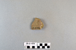
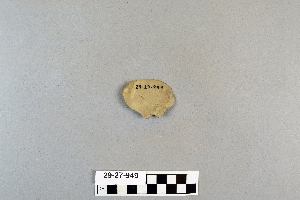
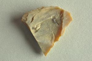
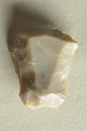
- chipped[98]

1 - 32 of 525 Records