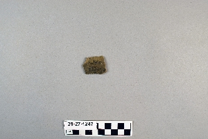
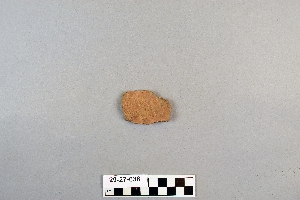
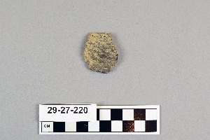
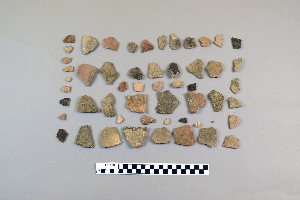
Search Collections
- Object[101]
- yes[101]
- no[101]
- american[101]
- alibates creek[10]
- antelope creek[4]
- aransas county[1]
- bivens estate ranch[7]
- bivens ranch[2]
- blanco canyon[1]
- brownsville[1]
- buffalo gap[1]
- canadian river[13]
- corpus christi[21]
- corpus christi area[1]
- cottonwood creek (texas)[4]
- culberson county[1]
- deal[1]
- fort davis[1]
- gould ruin[1]
- grapevine creek[1]
- handley ranch[2]
- jackson ruins[1]
- kings ruins[1]
- laguna madre island[1]
- laguna madre islands[1]
- landergin[1]
- live oak peninsula[36]
- near abilene[1]
- nueces county[28]
- nueces dam[1]
- ochiltree county[1]
- oso bay[1]
- padre island[3]
- palo duro canyon[1]
- pit house[2]
- putnam pit[2]
- rectangular pit house[7]
- reynold's ranch[2]
- rockport[21]
- rosson's ranch[1]
- tarbox creek[2]
- texas[101]
- united states of america[101]
- williams ranch[1]
- wolf creek[2]
- historic[3]
- basket maker[1]
- 15 mi. s. of amarillo[1]
- 16" below surface.[1]
- 1d, depth 22 in.[1]
- 1d, depth not over 22 in.[1]
- 24" level[1]
- 6" level[1]
- below surface/above main floor of burnt house[1]
- cave in sec. 13, block 121[1]
- dr. ray's site on clear fork of brazos river.[2]
- gravel pit[1]
- mesa near floydada[1]
- mesa site[1]
- paint creek[1]
- pit house floor[1]
- probably near canadian river[1]
- rectangular pit house, 2d, depth 10 in.[1]
- rectangular pit house, 2d, depth 13 in.[1]
- rectangular pit house, 2d, depth 32-36 in. from below wall.[1]
- rectangular pit house, 2d, depth 43 in.[1]
- rectangular pit house, 2d, probably from humus.[1]
- rossen's ranch near lawn[1]
- site 40 or 41[27]
- village site near handley ruin[1]
- fired[3]
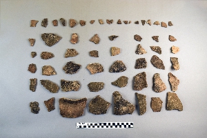
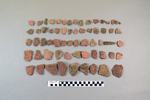
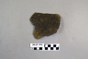
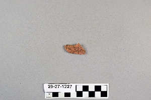
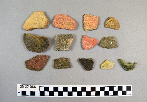
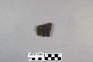
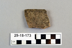
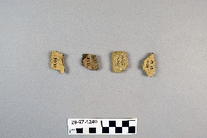
1 - 32 of 101 Records