Search Collections
- Object[152]
- no[152]
- american[152]
- point[152]
- adams county (mississippi)[1]
- anderson lake[2]
- bainbridge (pennsylvania)[3]
- barto[1]
- beck forest lake[1]
- berks county[10]
- bethlehem (pennsylvania)[1]
- big timber creek[34]
- bridgeport[11]
- bristol (pennsylvania)[1]
- bucks county[8]
- clovis[14]
- cumberland county (tennessee)[1]
- curry county[1]
- east tennessee[1]
- fairview[1]
- georgia[3]
- gloucester county[47]
- grassy cove[1]
- gravel pit[12]
- hamilton[1]
- hamilton square[1]
- hansell farm[1]
- keith manour[2]
- lancaster county (pennsylvania)[3]
- lehigh county[1]
- lehigh river[1]
- liberty county[3]
- live oak peninsula[1]
- logan township[11]
- maryland[3]
- maxatawny township[4]
- mercer county[20]
- mississippi[4]
- monmouth county[23]
- monterey[4]
- morrow county[1]
- natchez[1]
- near clovis[2]
- near gallegos[1]
- new jersey[90]
- new mexico[22]
- northeast[1]
- ohio[1]
- old lake[2]
- oley[3]
- oregon[3]
- pechoqueolin creek[3]
- pennsylvania[22]
- playa lodosa[1]
- pricetown[1]
- prince george county[3]
- red fish point[1]
- rosebud[1]
- tennessee[1]
- texas[2]
- trenton[19]
- united states of america[141]
- 1 mi. s.e. of gravel pit near clovis, n.m.[1]
- 2 mi. w. of gravel pit near clovis, n.m.[2]
- anderson lake, about 15 mi. s.e. of clovis, n.m.[2]
- basin site[1]
- from lake 3 mi. w. of gravel pit near clovis, n.m.[2]
- from lake bank 1 mi. s.e. of gravel pit near clovis, n.m.[3]
- indian village site on old keith manour[2]
- old lake 2 mi. south of gravel pit near clovis, n.m.[2]
- surface around gravel pit near clovis, n.m.[2]
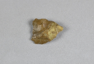
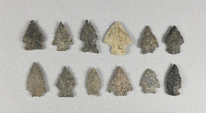
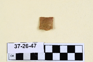
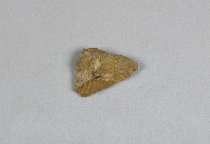
- chipped[152]
1 - 32 of 152 Records