Search Collections
- Object[341]
- no[341]
- alabama[3]
- anderson lake[3]
- apache canyon[2]
- arizona[2]
- asheville[12]
- auburn[3]
- australia[2]
- beck forest lake[3]
- berks county[78]
- bethlehem (pennsylvania)[1]
- big timber creek[16]
- brandywine[1]
- bridgeport[1]
- bucks county[1]
- carrituck county[1]
- catawba river[4]
- cecil county[5]
- charente[1]
- chester county[59]
- church's island[1]
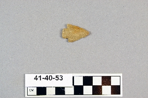
- clovis[19]
- colorado[2]
- columbia (pennsylvania)[1]
- cre de lalinde[1]
- cumberland county (tennessee)[1]
- delaware[2]
- dordogne[1]
- eastern united states[3]
- fairmount park[1]
- florida[2]
- france[3]
- gallegos ranch[2]
- gare de couze[1]
- georgia[1]
- gloucester county[17]
- grassy cove[1]
- gravel pit[14]
- hans hoch's fields[4]
- harding county[1]
- high shoals[4]
- illinois[1]
- la quina[1]
- lancaster county (pennsylvania)[20]
- lee county (alabama)[3]
- lehigh county[1]
- lehigh river[1]
- lewisburg region[1]
- liberty county[1]
- logan township[1]
- marshall county[2]
- maryland[39]
- massachusetts[1]
- mercer county[1]
- middle fox river[6]
- milford road[45]
- miniosa draw[3]
- mitchell county (north carolina)[1]
- montgomery county (pennsylvania)[12]
- mora county[2]
- morris county[1]
- mt. penn[1]
- muerto creek[1]
- near bueyeros[1]
- near clayton[6]
- near clovis[1]
- near dalhart[4]
- near levy[2]
- near logan[2]
- near nara visa[3]
- near san jon[2]
- near taos[3]
- near tucumcari[2]
- new jersey[23]
- new mexico[43]
- north carolina[18]
- ohio[3]
- ohio county[2]
- old lake[3]
- oley[31]
- pennsylvania[179]
- pot creek[3]
- pottstown[12]
- pricetown[31]
- prince george county[34]
- quay county[9]
- south fork[4]
- sulphur springs[12]
- tallahassee[2]
- taos county[3]
- texas[4]
- troutman ranch[2]
- union county (new mexico)[6]
- united states of america[301]
- utah[2]
- uwchlan township[45]
- virginia[2]
- washington boro[4]
- west virginia[2]
- wisconsin[6]
- witmer's farm[3]
- mousterian[3]
- mousterian[3]
- woodland[45]
- 2 mi. w. of gravel pit near clovis, n.m.[2]
- alongside of mammoth tusk[1]
- anderson lake, about 15 mi. s.e. of clovis, n.m.[1]
- c2[1]
- embedded in blue sand[1]
- first terrace surface[3]
- from lake 3 mi. w. of gravel pit near clovis n.m.[1]
- from lake 3 mi. w. of gravel pit near clovis, n.m.[2]
- from old lake 1.5 mi. s.w. of gravelpit about 18 mi. s.w. of clovis[1]
- island in susquehanna river[9]
- lake 15 mi. west[1]
- near waupaca[6]
- old lake 2 mi. south of gravel pit near clovis, n.m.[3]
- old lake west of gravel pit near clovis, n.m.[1]
- river bank[1]
- surface[7]
- surface 100 yds. west of gravelpit about 17 mi. s.w. of clovis[1]
- surface in blown area[2]
- surface, blown area[2]
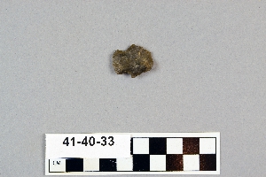
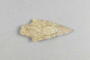
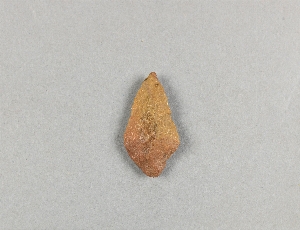
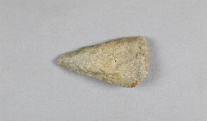
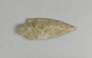
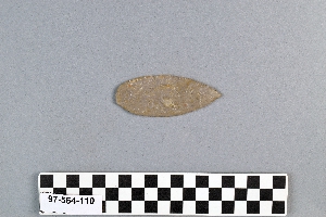
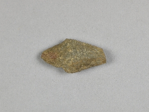
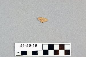
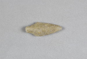
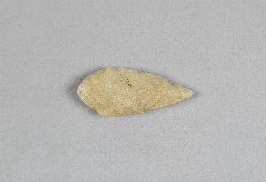
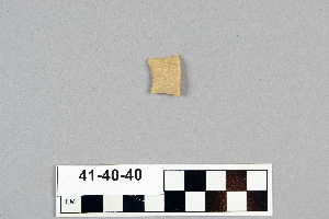
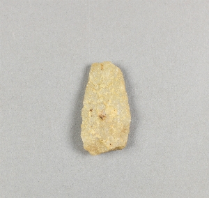
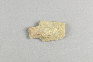
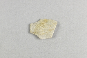
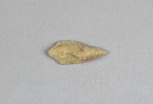
- chipped[200]
1 - 32 of 341 Records