Search Collections
- Object[144]
- yes[144]
- no[144]
- american[144]
- ball[1]
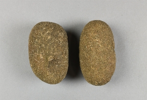
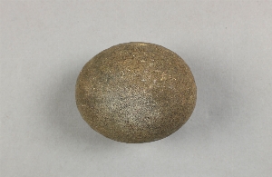
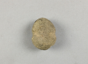
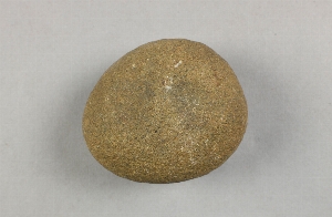
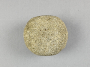
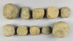
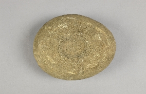
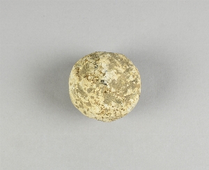
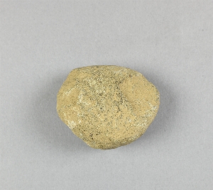
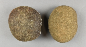
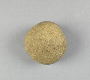
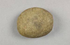
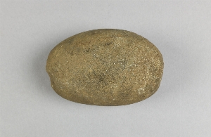
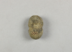
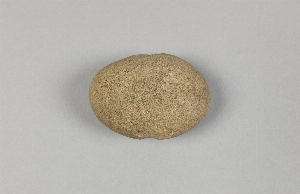
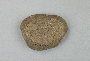
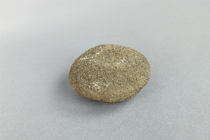
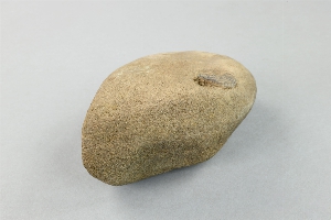
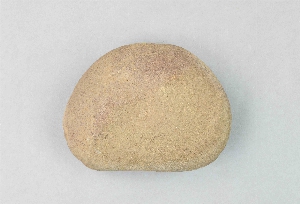
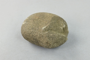
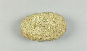
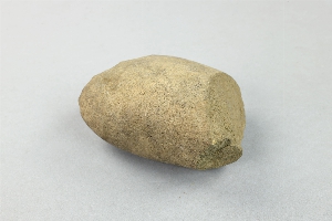
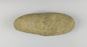
- hammerstone[144]
- bala[1]
- barto[3]
- berks county[4]
- bucks county[62]
- caldwell's island[1]
- chester county[4]
- clinton county[12]
- crum creek[1]
- delaware county (pennsylvania)[3]
- delaware valley[2]
- delaware water gap[10]
- depuy island[1]
- durham (us)[17]
- essington[1]
- flint quarry[7]
- flint ridge[1]
- fry's run[4]
- halls island[2]
- hummel's wharf[2]
- lancaster county (pennsylvania)[2]
- lehigh county[12]
- limeport[1]
- lock haven[12]
- macungie[5]
- mahoning beach[1]
- markham[1]
- milford (pennsylvania)[5]
- milford road[2]
- monroe county (pennsylvania)[10]
- montgomery county (pennsylvania)[2]
- moores island[1]
- morgantown road[1]
- new hope[1]
- northampton county[4]
- northumberland county[2]
- pennsylvania[144]
- pike county (pennsylvania)[5]
- raubsville[4]
- riegelsville[3]
- sawmill creek[1]
- snyder county[4]
- susquehanna river[2]
- susquehanna river valley[5]
- united states of america[144]
- uwchlan township[2]
- vera cruz (pennsylvania)[5]
- washington boro[1]
- wieder's creek[1]
- witmer's farm[1]
- charlestown township, rowland's farm[1]
- flint quarry[5]
- from around spring on top of hill near durham jasper quarry[5]
- from brandywine (laubach) camp-site.[8]
- from well near durham creek.[1]
- hays stewart farm, operation ii, surface[1]
- jasper quarry[5]
- jasper quarry; surface[1]
- miller farm, surface[2]
- near chester[1]
- operation iii, pit no. h and i, -4[1]
- perkiomen[1]
- pine station[1]
- pine station, quiggle farm, operation iii, surface.[1]
- quiggle farm[1]
- shaw's farm, mouth of pine creek, below lock haen on west branch pf susquehanna river, surface[2]
- surface[4]
- vicinity, surface[5]
- zimmerman's farm[1]
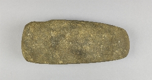
- stone[144]
- chipped[16]
- groundstone[9]
- pecked[2]
- pitted[1]
- actual citation[16]
1 - 32 of 144 Records
1 - 32 of 144 Records