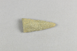
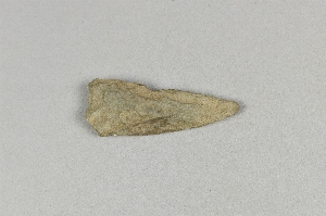
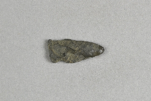
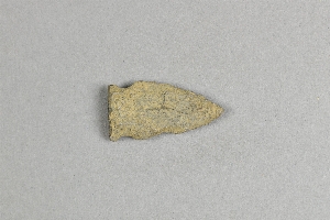
Search Collections
- Object[1,182]
- no[1,182]
- american[1,182]
- adze fragment[1]
- argillite[31]
- arrow point[2]
- arrowhead[67]
- arrowheads[4]
- axe[2]
- biface[1]
- blade[28]
- blades[7]
- blank[5]
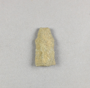
- celt[3]
- chip[7]
- chips[1]
- chisel[1]
- club[1]
- core[10]
- debitage[11]
- disk[1]
- drill[33]
- end scraper[2]
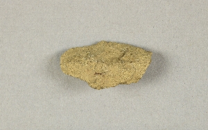
- flake[61]
- flakes[1]
- fragments[1]
- gorget[1]
- hammer[1]
- hammer-stone[1]
- hammerstone[3]
- hand mill[1]
- hoe[2]
- implement[93]
- implements[4]
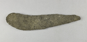
- knife[206]
- knives[3]
- paint stone[1]
- pebble[3]
- pebbles[1]
- pick[2]
- point[162]
- points[13]
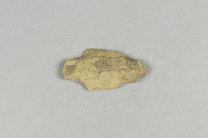
- projectile point[316]
- projectile point fragment[1]
- projectile points[4]
- reject[1]
- scraper[33]
- skinning knife[3]
- slab[1]
- spade[1]
- spear[1]
- spear head[10]
- spear point[4]
- spearhead[23]
- spearheads[3]
- stone[4]
- tool[2]
- turtleback[6]
- abbott farm[29]
- adams county (mississippi)[6]
- albany county[3]
- bainbridge (pennsylvania)[13]
- bartlett shellheep[24]
- beasley's point[2]
- bedford county (pennsylvania)[2]
- bedford county (virginia)[2]
- berks county[3]
- big timber creek[17]
- brandywine[2]
- bristol (pennsylvania)[3]
- brownsville[5]
- bucks county[141]
- burlington county[113]
- burlington island[22]
- camden county[17]
- cape may county[5]
- chester county[49]
- chickies[18]
- clark's pond[2]
- conoy township[7]
- cope's mills[5]
- cumberland county (new jersey)[5]
- cumberland county (tennessee)[2]
- dauphin county[4]
- delaware[13]
- delaware river[14]
- delaware valley[29]
- delaware water gap[5]
- delmarva peninsula[4]
- doylestown[5]
- eastern pennsylvania[47]
- evesham township[3]
- fairfield[2]
- fairton[2]
- farm of william holocher[3]
- fayette county (pennsylvania)[5]
- florence (new jersey)[6]
- forge island[7]
- gaddis run[11]
- georgia[2]
- gloucester county[21]
- grassy cove[2]
- haldeman's island[12]
- hamilton[45]
- hamilton square[45]
- hansell farm[5]
- hunterdon county[10]
- iredell's creek[5]
- kaighn's point[6]
- kent county (maryland)[4]
- kentucky[10]
- lambertville[10]
- lancaster county (pennsylvania)[125]
- laurel hill cemetery[2]
- lehigh county[5]
- locust grove[17]
- loudonville[3]
- lumberton[80]
- macungie[2]
- marlton[3]
- marsh run[3]
- maryland[4]
- mercer county[265]
- middletown (pennsylvania)[3]
- milford (pennsylvania)[7]
- milford road[40]
- mississippi[6]
- monongahela river[5]
- monroe county (pennsylvania)[6]
- morgantown road[12]
- morrisville region[4]
- natchez[6]
- near trenton[30]
- new holland[4]
- new jersey[738]
- new york[4]
- newbold island[4]
- northampton county[5]
- ohio[14]
- pechoqueolin creek[9]
- pennsylvania[447]
- pike county (pennsylvania)[7]
- point pleasant[33]
- rancocas creek[6]
- riegelsville[10]
- rock hall[4]
- rock retreat[11]
- tennessee[3]
- timber creek[10]
- trenton[188]
- united states of america[1,182]
- upper black eddy[5]
- uwchlan township[40]
- valley of delaware river[17]
- virginia[6]
- washington boro[17]
- west chester[6]
- witmer's farm[3]
- early archaic[1]
- paleolithic[7]
- early archaic[1]
- woodland[40]
- "bottom level"[1]
- 1-t 12-18"[1]
- artificial surface of beach, exposed at low tide.[4]
- bartlett shellheap[1]
- bed of river[11]
- cave[2]
- eastern shore[4]
- found on surface[6]
- found on surface of field in pennsylvania opposite and west of trenton, new jersey[12]
- found on surface.[1]
- found on the gravel beach, where exposed at low tide.[1]
- from brandywine (laubach) camp-site.[18]
- from roadside gutter[12]
- from the gravel forming the base of the island[13]
- gravesend beach neck, 1 mile east of pedricktown[2]
- in loam underlying the sand.[1]
- in susquehanna river[7]
- indian village site on old keith manour[1]
- laurie's mill pond[2]
- old lake 2 mi. south of gravel pit near clovis, n.m.[1]
- opposite chickie's farm[1]
- opposite locust grove haldeman estate[7]
- quarry[9]
- river bank[1]
- shores of delaware river at morrisville, pa., and trenton, n.j.[2]
- south of trenton, new jersey[1]
- south of trenton, nj[1]
- surface[14]
- surface of river shore.[1]
- surface of river-shore.[4]
- surface of river-shore. exposed by wearing away of the river bank.[1]
- terminus of "cut-off" r.r. near morrisville[3]
- west creek shellheap[1]
- workshop in ancient quarry.[2]
1 - 32 of 1,182 Records
1 - 32 of 1,182 Records