Search Collections
- Object[232]
- no[232]
- american[191]
- asian[1]
- near eastern[40]
- abilene[3]
- alaska[2]
- albany county[1]
- alibates creek[11]
- anderson lake[14]
- apache canyon[1]
- beck forest lake[8]
- beth shean[40]
- bivens estate ranch[11]
- blowout mountain[6]
- bucks county[1]
- burke county[1]
- california (state)[4]
- cambay[1]
- canadian river[11]
- cape prince of wales[2]
- caroline county[1]
- cedar creek (illinois)[1]
- chickies[1]
- chillicothe[2]
- choptank river[1]
- clovis[19]
- cumberland county (tennessee)[5]
- curry county[1]
- diamond (ohio)[8]
- east tennessee[5]
- elgin[1]
- elm creek[3]
- ewing and bragdon site[39]
- fanny jones ranch[1]
- flint ridge[1]
- floyd county (georgia)[1]
- foster's bend[1]
- frenchman's bay[39]
- fresno county[4]
- garrett[2]
- georgia[2]
- grassy cove[5]
- gravel pit[3]
- gujarat[1]
- gulf of mexico[3]
- hancock county (maine)[39]
- hancock county (ohio)[2]
- hardin county[1]
- high terrace[2]
- illinois[1]
- india[1]
- israel[40]
- jacobs archaeological site[1]
- kentucky[4]
- kroenig ranch[3]
- laguna madre island[4]
- lake[1]
- lancaster county (pennsylvania)[1]
- livingston county (new york)[4]
- logan county (ohio)[1]
- loudonville[1]
- maine[39]
- mammoth cave[1]
- maryland[1]
- massachusetts[1]
- mora county[1]
- near abilene[8]
- near clovis[11]
- near eden[2]
- near questa[2]
- near taos[4]
- new jersey[2]
- new mexico[56]
- new york[5]
- north america[3]
- north carolina[4]
- nueces county[3]
- ohio[16]
- padre island[3]
- palmyra township[8]
- pennsylvania[11]
- polard lake[3]
- portage county[8]
- pot creek[4]
- pueblo mound[3]
- quay county[4]
- railroad mountain[4]
- rockport[4]
- ross county[2]
- site 10[3]
- site 2[5]
- site 5[4]
- site 7[2]
- site 8[2]
- sweetwater county[2]
- taos county[4]
- texas[32]
- tranquillity[4]
- tranquillity site[4]
- united states of america[144]
- unites states of america[8]
- watrous[4]
- west bloomfield[4]
- wyoming[2]
- byzantine[3]
- central california phase[4]
- chalcolithic[13]
- early arabic[3]
- early bronze i[9]
- early bronze ii[17]
- early horizon[4]
- historic[4]
- iron age ia[1]
- iron age ib[1]
- late bronze iib[1]
- middle horizon[4]
- modern[1]
- neolithic[10]
- "mound" - adobe walls[1]
- 24.5 ft. below surface found with charcoal #32.29[1]
- anderson lake, about 15 mi. s.e. of clovis, n.m.[12]
- bank of elm creek 7.5 mi. south of abilene[1]
- basin site[1]
- camp site[2]
- creek bed of elm creek 7.5 mi. south of abilene[1]
- excavated area at junction of squares 10z and 10aa on hard surface (surely of pink consolidated soil)[1]
- first terrace surface[4]
- from "blow-outs" near finley site, near eden[2]
- near stake 10aa[1]
- old lake 2 mi. sout of gravel pit near clovis, n.m.[1]
- old lake 2 mi. south of gravel pit near clovis, n.m.[1]
- rectangular pit house, 2d/2s, depth 23 in. among ashes under fragment of stone -- near corner within pit house.[1]
- rectangular pit house, 2d/36s[1]
- rectangular pit house, 2d/3b, depth 25 in.[1]
- rectangular pit house, 2d/40s, depth 13 in., on plaster.[1]
- rectangular pit house, 2d/41s, depth 13 in. lying immediately on horizontal plaster.[1]
- rectangular pit house, 2d/49s[1]
- rectangular pit house, 2d/4s[1]
- rectangular pit house, 2d/52s, depth 9 in., above floor in "wash" near platform "break"[1]
- rectangular pit house, 2d/6b, depth 24 in.[1]
- rectangular pit house, 2d/8s[1]
- rectangular pit house, 2d/?b[1]
- region around rockport[4]
- sand dune surface site near nugent[1]
- square 11aa, probably easterly side of "11z area"[1]
- square 11z, 4.00 to 5.00 meters north of stake 11z; on hard sand surface at base of white sand[1]
- sunshine valley[2]
- surface[3]
- surface near high terrace, 13 mi. south of abilene[1]
- surface site[6]
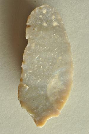
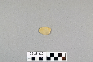
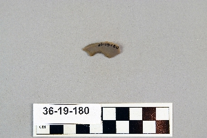
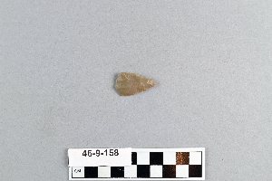
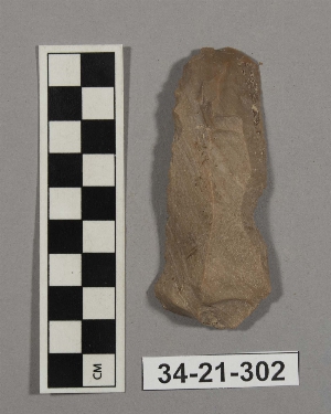
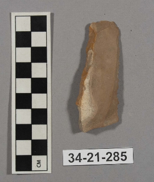
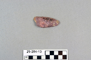
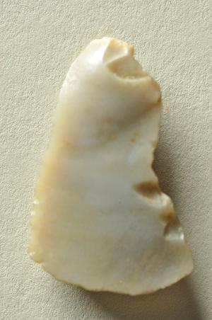
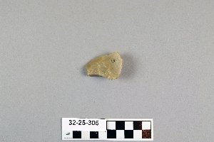
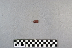
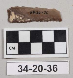
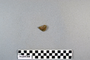
- flint[232]
- chipped[232]
1 - 32 of 232 Records