Search Collections
- Object[83]
- no[83]
- american[83]
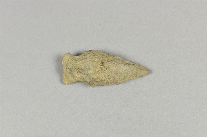
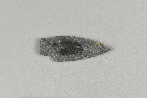
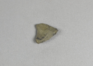
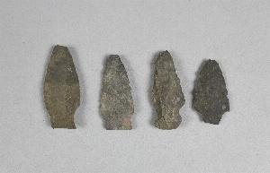
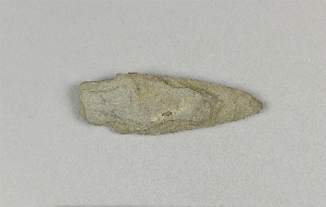
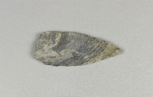
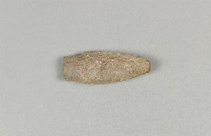
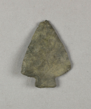
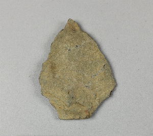
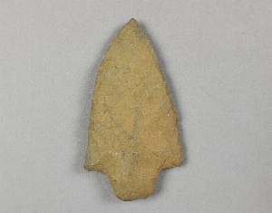
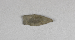
- projectile point[83]
- alaska[27]
- bainbridge (pennsylvania)[5]
- british columbia[2]
- burlington county[1]
- camden (new jersey)[6]
- camden county[6]
- canada[2]
- cape darby[1]
- cape denbigh[11]
- cape nome[5]
- cecil county[1]
- delaware[1]
- fairfax county[1]
- gloucester county[1]
- hamilton[2]
- hamilton square[2]
- indiana[1]
- iredell county[30]
- iyatayet[11]
- kent county (delaware)[1]
- knight island[9]
- lancaster county (pennsylvania)[5]
- long island (ny)[1]
- lumberton[1]
- madjujuinuk site[1]
- maple bay[1]
- marshall county (west virginia)[1]
- maryland[1]
- mercer county[4]
- merrick[1]
- mount vernon (virginia)[1]
- nassau county (new york)[1]
- new jersey[12]
- new york[1]
- north carolina[30]
- norton sound[12]
- ohio[1]
- ohio county (west virginia)[1]
- old town[9]
- pennsylvania[5]
- petersborough[1]
- trenton[2]
- united states of america[80]
- vancouver island[2]
- virginia[1]
- west virginia[1]
- wheeling[1]
- yakutat bay[9]
- old town i[3]
- old town ii[2]
- old town iii[3]
- eskimo[6]
- norton[11]
- paleo-eskimo[1]
- cave[5]
- cut a[1]
- from two camp sites on old cammann property.[1]
- house 14[1]
- house 18[1]
- house 19[1]
- house 285[1]
- house 9, floor, between wall and floor[1]
- iye gen[1]
- iyhi-d upi-3[1]
- iypa[1]
- iypc[1]
- iype-2 lm[1]
- iype-5 upm[1]
- iyz5[5]
- laurie's mill pond[1]
- lofland and gooden farms on either side of cor marsh ditch[1]
- mad[1]
- mound b (?), backfill[1]
- mound b, lower level, depth:45"[1]
- mound b, upper level, depth:14"[1]
- mound b, upper level, depth:6"[1]
- mound c, upper level, house 7, depth 22" gray sandy midden[1]
- mound d, depth 8", dark rocky midden[1]
- mound d, lower level, depth 23", shell midden layer[1]
- shell mound, 4 feet deep[1]
- storage house, depth 33"[1]
- chipped[13]
1 - 32 of 83 Records

1 - 32 of 83 Records