Search Collections
- Object[479]
- no[479]
- african[1]
- american[447]
- egyptian[1]
- european[5]
- mediterranean[1]
- near eastern[6]
- oceanian[18]
- abrader[1]
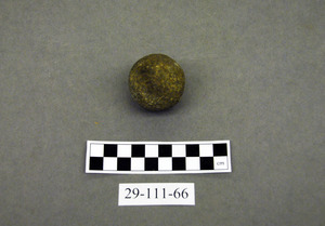
- ball[3]
- cast[2]
- disc[1]
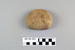
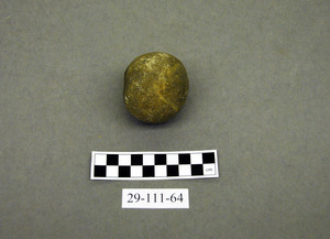
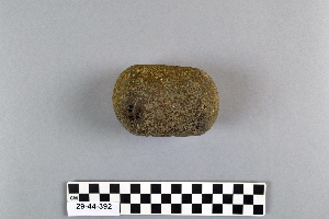
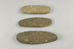
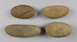
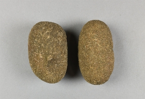
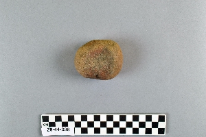
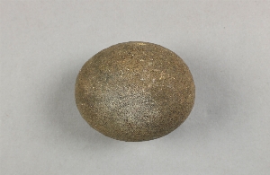
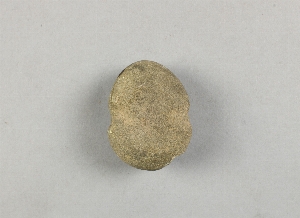
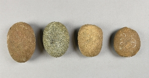
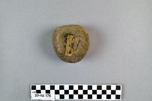
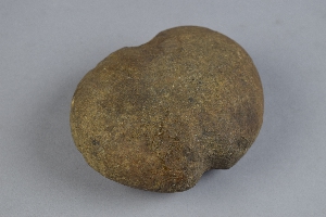
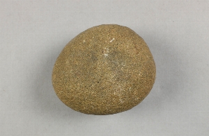
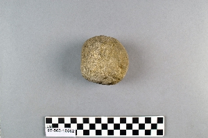
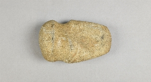
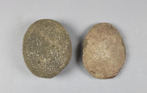
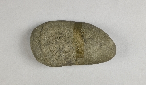
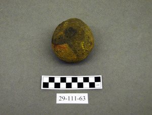
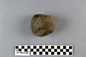
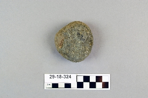
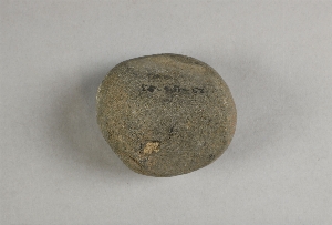
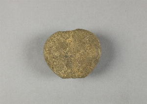
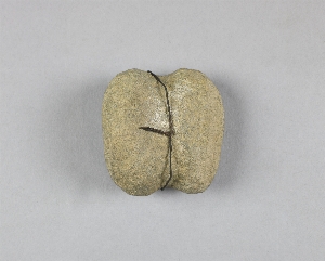
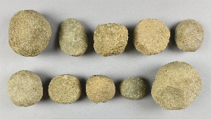
- hammerstone[479]
- lithic[1]
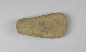
- maul[1]
- mollusk shell[1]
- pestle[1]
- polisher[1]
- aguan valley[2]
- alaska[60]
- arizona[4]
- australia[17]
- baracoa[11]
- barto[3]
- berks county[4]
- brazil[4]
- bucks county[62]
- burlington county[10]
- california (state)[4]
- canadian river[3]
- cape darby[2]
- chester county[4]
- chester river banks[2]
- chillicothe[9]
- chira valley[2]
- claymont[16]
- clinton county[12]
- cuba[14]
- daxatkanada fort[5]
- delaware[17]
- delaware county (pennsylvania)[3]
- delaware valley[6]
- delaware water gap[10]
- durham (us)[17]
- eastern united states[10]
- europe[4]
- flint quarry[7]
- flint ridge[14]
- fry's run[4]
- gloucester county[9]
- gungnuk site[2]
- halls island[2]
- hamilton[7]
- hamilton square[7]
- hawkins island[2]
- honduras[2]
- hummel's wharf[2]
- illinois[7]
- iran[5]
- kansas[2]
- kellerberrin[3]
- knight island[37]
- kootznahoo inlet[5]
- lancaster county (pennsylvania)[2]
- lehigh county[12]
- licking county[13]
- lock haven[12]
- lost river[2]
- macungie[5]
- marion county (illinois)[2]
- marshall county (west virginia)[17]
- maryland[3]
- medford[6]
- mercer county[20]
- milford (pennsylvania)[5]
- milford road[2]
- millington[2]
- mississippi[2]
- monroe county (pennsylvania)[10]
- montgomery county (pennsylvania)[2]
- mount laurel[4]
- new castle county[16]
- new jersey[44]
- new mexico[3]
- north america[11]
- north carolina[3]
- northampton county[4]
- ohio[44]
- ohio county (west virginia)[5]
- old town[37]
- pennsylvania[144]
- pike county (pennsylvania)[5]
- raubsville[4]
- rayy[5]
- richmond (australia)[3]
- riegelsville[3]
- ross county[9]
- salt river[3]
- santarem[3]
- snyder county[4]
- southeastern australia[3]
- southeastern utah[17]
- southwest colorado[8]
- southwestern colorado[9]
- susquehanna river valley[5]
- texas[5]
- trenton[13]
- unalakleet[7]
- united states of america[311]
- vera cruz (pennsylvania)[5]
- victoria (australia)[3]
- west indies[16]
- west virginia[17]
- western australia[10]
- wheeling[7]
- wheeling quadrangle[12]
- yakutat bay[39]
- yukon island[5]
- algonquin[10]
- ancestral pueblo[2]
- basket-maker[7]
- cherokee[1]
- ciboney[1]
- cliff dweller[10]
- eskimo[4]
- iroquois[12]
- kachemak bay culture iii[2]
- neolithic[2]
- paleo-eskimo[2]
- prehistoric eskimo[2]
- pueblo[1]
- shawnee[1]
- taino[1]
- wardaman[2]
- yakutat (culture)[35]
- amazonia[4]
- andean[2]
- arctic culture area[22]
- california culture area[6]
- caribbean[16]
- central american[5]
- circum-caribbean[1]
- great plains culture area[4]
- north american culture area[5]
- northeast culture area[292]
- northeast culture area [1]
- northwest coast culture area[39]
- southeast culture area[18]
- southwest culture area[32]
- "prehistoric cliff ruins".[1]
- 2 f, 2' 6" - 3', viii (ix?)[1]
- 3 h[1]
- 4 h[1]
- 4' - 4'6"[1]
- 5'6" - 6'[1]
- a2e depth 3"[1]
- aguan valley[2]
- anicent ruins[1]
- beach[1]
- big wall[11]
- charlestown township, rowland's farm[1]
- d1e 12-14"[1]
- d1e 12-24"[1]
- farmland[1]
- flint quarry[5]
- floor i, house 18[1]
- from around spring on top of hill near durham jasper quarry[5]
- from brandywine (laubach) camp-site.[8]
- from well near durham creek.[1]
- gun.[2]
- h, 11' - 12', i[1]
- h, 2' 6" - 3', vi[1]
- hays stewart farm, operation ii, surface[1]
- house 1[1]
- house 2[1]
- house 3[1]
- i-u 24-30" guano in se corner[1]
- ip house[5]
- jasper quarry[5]
- jasper quarry; surface[1]
- layer 6 or 7[1]
- layer 9?[1]
- level ii, f g 42, -.20 to -6.0[1]
- lofland and gooden farms on either side of cor marsh ditch[1]
- metuchen[1]
- miller farm, surface[2]
- mound b[2]
- n 0, w 1.75 - wall continuation[1]
- near chester[1]
- north of cacimbas, surface[1]
- o-u 12-14" black midden[1]
- operation iii, pit no. h and i, -4[1]
- perkiomen[1]
- pine station[1]
- pine station, quiggle farm, operation iii, surface.[1]
- popolateca[1]
- quiggle farm[1]
- ruin along ancient ditch near englewood[2]
- ruins[1]
- s 7, w 5 - overburden[1]
- sapp shellheap[1]
- sea nicolas island[1]
- shaw's farm, mouth of pine creek, below lock haen on west branch pf susquehanna river, surface[2]
- st. richard's manor[1]
- stratum ii, 1g, 2'-2'6"[1]
- surely from area of excavations of 1944[1]
- surface[5]
- test pit - in floor[1]
- test pit 5, subsurface pit b[1]
- vicinity stele 1 and altar 1[1]
- vicinity, surface[5]
- zimmerman's farm[1]
- chert[1]
- mollusk shell[1]
- plaster[2]
- quartzite[1]
- stone[479]
- chipped[35]
- ground[21]
- ground stone[10]
- groundstone[24]
- pecked[2]
- pitted[3]
- polished[2]
- sherd[1]
- unfinished[1]
- actual citation[30]
1 - 32 of 479 Records
1 - 32 of 479 Records