Search Collections
- Object[107]
- no[107]
- american[107]
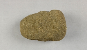
- axe[1]
- muller[107]
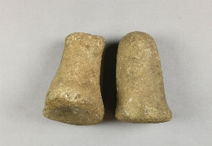
- pestle[1]
- rubbing stone[1]
- arkansas[3]
- blennerhasset island[1]
- brazil[1]
- brazilian amazonas[1]
- burlington county[1]
- butler county (ohio)[1]
- california (state)[6]
- chickies[1]
- colombia[1]
- cripple creek[1]
- cumaruara[1]
- duboistown[1]
- durango[2]
- eastern united states[4]
- el zape[2]
- flint ridge[1]
- fresno county[6]
- haiti[1]
- illinois[2]
- kentucky[1]
- knox county (tennessee)[1]
- lago grande[1]
- lancaster county (pennsylvania)[3]
- licking county[1]
- lumberton[1]
- lycoming county[1]
- marquette county[1]
- mexico (central america)[3]
- miami county (ohio)[1]
- new jersey[1]
- north america[1]
- north carolina[1]
- ohio[67]
- oregon[4]
- pennsylvania[5]
- port au prince[1]
- rock retreat[1]
- san pedro alejandrino[1]
- santa ana (zape)[2]
- southern illinois[1]
- tennessee[3]
- tranquillity[6]
- tranquillity site[6]
- united states of america[81]
- western united states[1]
- whiteside county[1]
- wisconsin[1]
- witmer's farm[2]
- wood county[1]
- arawak[1]
- carrier (culture)[1]
- chalchihuites[1]
- cherokee[1]
- la loma pelona[1]
- tairona[1]
- cemetery[1]
- hill 200 m. from road to south, between gressier village and leogane town[1]
- loma pelona, surface find[1]
- merger site[1]
- square 11aa, in depression of hard sand surface, at base of white sand.[1]
- square 11aa; vertical position not noted[1]
- square 11z[2]
- square 11z, 6.35 meters north, 1.00 west of stake 11aa; imbedded in hard sand below the white sand, showing in the edge of the "gully" of the nodular sand.[1]
- square 11z, on smooth hard sand surface (with 44-17-51 and 52)[1]
- surface find[1]
- surface finds[1]
- chipped[6]
- ground[20]
- groundstone[7]
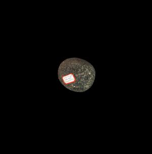
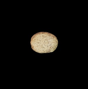
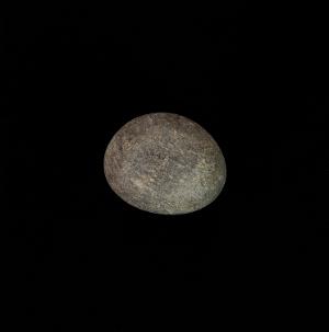
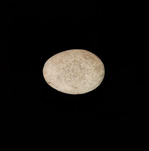
1 - 32 of 107 Records


