Search Collections
- Object[303]
- no[303]
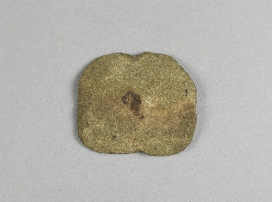
- axe[1]
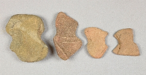
- implement fragment[2]
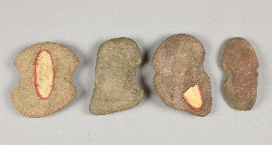
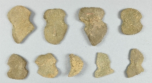
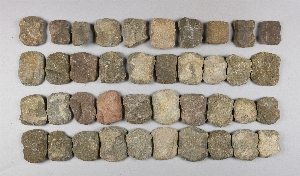
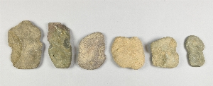
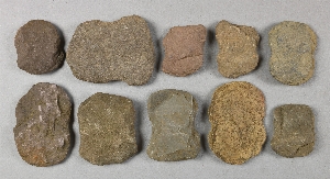
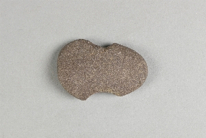
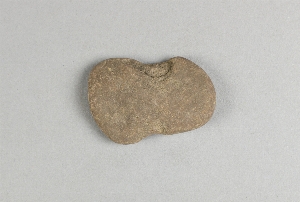
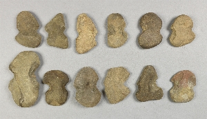
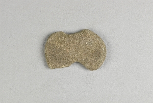
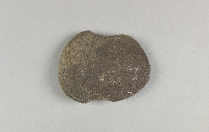
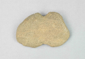
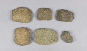
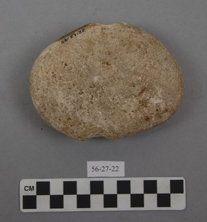
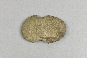
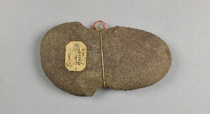
- net sinker[303]
- sherd[1]
- tool[1]
- top[3]
- alaska[22]
- atnuk[2]
- bolivia[10]
- bordentown[1]
- bucks county[191]
- burlington county[4]
- burlington island[2]
- camden (new jersey)[1]
- camden county[1]
- cape darby[6]
- cape nome[12]
- cayuga lake[2]
- chester river banks[1]
- chickies[1]
- cinto[1]
- clinton county[25]
- collier county[1]
- colombia[4]
- crosswick creek[1]
- cuba[1]
- delaware[1]
- delaware valley[3]
- eastern united states[1]
- florida[1]
- gungnuk site[2]
- halls island[1]
- hamilton[1]
- hamilton square[1]
- herkimer[5]
- herkimer county[5]
- hick's ferry[1]
- hummel's wharf[1]
- intja island[5]
- johnson's creek[1]
- juniata county[1]
- key marco[1]
- lake george (new york)[2]
- lancaster county (pennsylvania)[4]
- lock haven[26]
- luzerne county[2]
- madjujuinuk site[2]
- marco island[1]
- marquesas islands[1]
- marshall county[1]
- marshall county (west virginia)[1]
- maryland[1]
- mckees island[1]
- mercer county[4]
- mifflin[1]
- millington[1]
- morris county[3]
- mouth of crosswicks creek[1]
- new guinea[1]
- new jersey[12]
- new york[9]
- north america[1]
- northumberland county[1]
- norton sound[6]
- ohio county[1]
- ohio county (west virginia)[1]
- pennsylvania[233]
- point barrow[1]
- point pleasant[191]
- point spencer[1]
- pozos colorados[1]
- queen anne county[1]
- quiripuju[1]
- rock retreat[1]
- sawmill creek[1]
- snyder county[3]
- susquehanna river[3]
- susquehanna river valley[5]
- susquehanna valley[1]
- tennessee[1]
- tiahuanaco[4]
- trenton[3]
- tschepandei[1]
- ua pou[1]
- unalakleet[2]
- united states of america[279]
- wapwallopen[1]
- washington boro[3]
- west indies[1]
- west virginia[2]
- wheeling[1]
- woodport[3]
- york[1]
- york county (pennsylvania)[1]
- algonquin[20]
- calusa[1]
- ciboney[1]
- eskimo[14]
- inuit[4]
- iroquois[22]
- neo-eskimo[1]
- paleo-eskimo[2]
- tairona[4]
- gun.[2]
- hays stewart farm, operation ii, surface[1]
- house 120[2]
- house 268 ?[12]
- mad[2]
- miller farm, surface[1]
- operation iii, pit # 200[1]
- operation iii, pit # 200, section e -1[1]
- operation iii, pit no. e and f, -3[2]
- pine station[4]
- pine station, quiggle farm, operation iii, pit no. g and h, -1 and -2. depth not recorded.[1]
- pine station, quiggle farm, operation iii, surface.[1]
- protruding from bank of island, four feet from surface[1]
- quiggle farm[4]
- shaw's farm, mouth of pine creek, below lock haen on west branch pf susquehanna river, surface[12]
- these were found in a small heap, deeply buried under recent mud deposit; resting on white sand[1]
- vicinity, surface[4]
- village site and quarry, very little burials.[191]
- chipped[21]
- grooved[4]
- ground[1]
- groundstone[3]
- notched[3]
- perforated[6]
1 - 32 of 303 Records

1 - 32 of 303 Records