Search Collections
- Object[294]
- no[294]
- american[294]
- animal tooth[1]
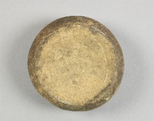
- boat-stone[1]
- bone[1]
- charcoal[2]
- cup[1]
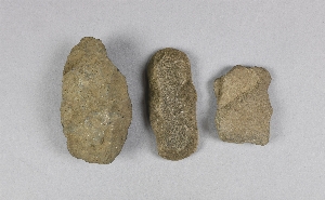
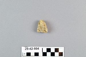
- lithic[2]
- potter's tool[2]
- shaft scraper[1]
- shell[2]
- sherd[2]
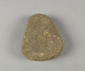
- stone[294]
- adams county (mississippi)[1]
- alaska[54]
- alibates creek[2]
- allegheny county (pennsylvania)[1]
- arizona[2]
- arkansas[1]
- athens[1]
- bates county[1]
- bellmont mound[1]
- big horn basin[1]
- bivens estate ranch[2]
- bordentown[2]
- bradford county[1]
- bristol (pennsylvania)[5]
- bucks county[50]
- burlington county[27]
- burlington island[5]
- caldwell's island[3]
- camden (south carolina)[5]
- canadian river[2]
- canyon[1]
- cape darby[2]
- chadwick's point[1]
- charles county[1]
- charlton county[1]
- chickies[4]
- claymont[9]
- clinton county[3]
- cook inlet[12]
- crosswick creek[3]
- delaware[9]
- duboistown[2]
- durham (us)[28]
- flint quarry[27]
- florida[2]
- fox farm[13]
- frank fox's place[3]
- georgia[2]
- gloucester county[3]
- gunpowder neck[6]
- halibut cove[9]
- harford county[6]
- hilltown[2]
- holy cross[3]
- iredell county[5]
- iredell's creek[2]
- ishmailoff island[9]
- kachemak bay[10]
- lancaster county (pennsylvania)[6]
- lock haven[3]
- lower yukon river valley[3]
- lycoming county[2]
- madjujuinuk site[2]
- maricopa county[2]
- marquette county[4]
- marshall county[5]
- marshall county (west virginia)[6]
- maryland[7]
- medford[5]
- mercer county[15]
- milton county[2]
- mississippi[2]
- montgomery county (pennsylvania)[3]
- moorestown[13]
- morrisville region[3]
- mt. taylor[2]
- near rancocas creek[5]
- new castle county[9]
- new jersey[48]
- new york[2]
- north america[4]
- north carolina[12]
- northampton county[2]
- norton sound[2]
- ohio[16]
- ohio county[5]
- penn valley[3]
- pennsylvania[83]
- pike county (pennsylvania)[2]
- pottstown[2]
- prospect[2]
- rancocas creek[6]
- rectangular pit house[2]
- riegelsville[4]
- south carolina[10]
- southeast tennessee[2]
- southeastern utah[2]
- susquehanna river[3]
- tempe[2]
- tennessee[5]
- texas[6]
- trenton[14]
- united states of america[294]
- virginia[2]
- volusia county[2]
- west virginia[14]
- wheeling quadrangle[7]
- wisconsin[4]
- wyoming[2]
- yukon island[40]
- finley site[1]
- "bottom level"[8]
- "circle" area, 1d, depth 14 in.[1]
- "circle" area, 1d/a, depth 1 to 6 in.[1]
- "intermediate level"[2]
- "salt flat" uncertain[1]
- 10' - 10' 8"[1]
- 10' 8" - 11' 5"[1]
- 2 j, 1'3" - 1'9"[1]
- 3 h[1]
- 3' - 3' 9"[1]
- 3' 9" - 4' 4"[1]
- 3'3" - 3'9"[1]
- 4 h[1]
- 4 j[1]
- 4 j, 9" - 1'3"[1]
- 4 j. 9'9" - 10'3"[1]
- 4 k, 1'-1'6"[1]
- 4' 5" - 5'[2]
- 40" level[1]
- 5 j, 9' 6" - 10' 6", layer 2[1]
- 5 j, 9' 6" - 10', layer 2[1]
- 5 k, 10' 6" - 11', layer 2[1]
- 6' - 6'6"[1]
- 6' 10" - 7' 5"[3]
- 6' 4" - 6' 10"[1]
- 7' 11" - 8' 6"[2]
- 7' 5" - 7' 11"[1]
- 7'6" - 8"[1]
- 9' 6" - 10'[1]
- beach, new midden ?[1]
- bison kill/processing area[1]
- dr. ray's site on clear fork of brazos river.[1]
- eastern shore[1]
- field near town[1]
- found 3 miles northeast of tempe. (at ruins?)[1]
- from brandywine (laubach) camp-site.[1]
- from fire-place[16]
- from fire-place.[12]
- from ruins 3 miles northwest of tempe.[1]
- from talus.[1]
- gravel exposure on jefferson avenue.[3]
- gravel pit[2]
- gravel surface of upper end of island.[2]
- hole 1[1]
- hole 3[1]
- j, 4'3" - 4'9"[1]
- jasper quarry[1]
- killpecker dune field[1]
- l, 3' - 3'6"[11]
- l, 3'6" - 4'[1]
- layer 4 or 5[1]
- layer 5 a[1]
- layer 5-a or b[1]
- layer 6[1]
- layer 6 - 5-b?[2]
- layer 6 or 5-b?[9]
- layer 7[3]
- layer 8[1]
- mad[2]
- miller's farm[1]
- mound i[1]
- near bottom of pit.[1]
- pit 200[1]
- river bed.[1]
- ruin along ancient ditch near englewood[1]
- sapp sheelheap[1]
- surface[1]
- surface finds from site of j. w. carruthers ranch.[1]
- surface of field[1]
- tailings[3]
- this from gravel thrown out in digging sewer trench in center street.[2]
- west of morrisville, gravel[3]
1 - 32 of 294 Records
1 - 32 of 294 Records