Search Collections
- Object[360]
- no[360]
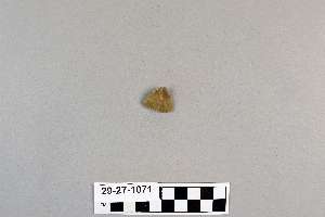
- arrowhead[50]
- arrowhead fragment[3]
- axe[1]
- bivalve shell[1]
- blade[9]
- charcoal[1]
- chopper[1]
- dart point[1]
- drill[1]
- drill point[1]
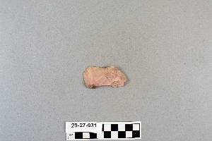
- flake[4]
- groundstone[6]
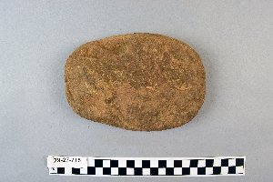
- hammerstone[5]
- hatchet[1]
- implement[2]
- implements[1]
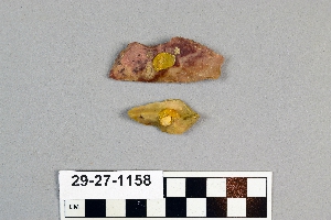
- knife[6]
- knife blade[2]
- lithic[1]
- lithic tool[8]
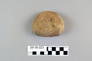
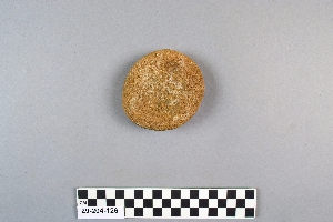
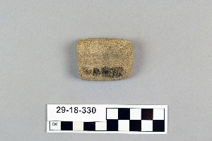
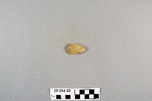
- mano[42]
- mano stone[2]
- maul[2]
- metate[9]
- paint stone[1]
- pebble[3]
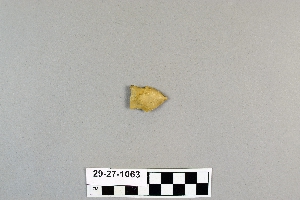
- point[104]
- points[5]
- projectile point[21]
- red paint stone[1]
- rubbing stone[6]
- scraper[44]
- scrapers[1]
- shell[1]
- soil[1]
- spear head[7]
- spear point[1]
- spearhead[9]
- stone[6]
- stone fragment[2]
- stones[1]
- tool[2]
- tube[1]
- abilene[8]
- alibates creek[33]
- antelope creek[1]
- aransas county[1]
- austin (texas)[1]
- banquete creek[5]
- bivens estate ranch[18]
- bivens ranch[1]
- blackwater draw[1]
- blind oso[1]
- brackettville[3]
- brazos river[1]
- buffalo gap[2]
- canadian river[13]
- copano bay[1]
- corpus christi[36]
- corpus christi area[30]
- culberson county[3]
- david rose's ranch[3]
- deal[2]
- devil's river[2]
- double mountain[1]
- el paso[1]
- elgin[8]
- elgin island[6]
- elm creek[1]
- eyerly ruin[1]
- florence (texas)[2]
- gould ruin[2]
- grapevine creek[1]
- gravel pit[1]
- guadalupe mountains[3]
- gulf of mexico[1]
- handley ranch[3]
- henry gault mound[2]
- hereford[1]
- ingleside cove[4]
- j. w. carruthers ranch[2]
- kerr county[2]
- kerrville[2]
- kings ruins[3]
- kingville[1]
- laguna madre islands[6]
- landergin[5]
- lendsey farm[11]
- live oak peninsula[57]
- logan (texas)[34]
- lone wolf creek[2]
- mathews ranch[2]
- near abilene[33]
- near albany[2]
- neuces[9]
- new mexico[1]
- north america[1]
- nueces county[79]
- nueces dam[20]
- nugent ranch[8]
- oso bay[6]
- oso creek[4]
- padre island[1]
- petronillo creek[5]
- puerto bay[14]
- puerto bay club[1]
- putnam pit[4]
- rectangular pit house[8]
- red fish point[5]
- reynold's ranch[4]
- rincon[46]
- rockport[14]
- rosson's ranch[2]
- salinas creek[11]
- san patricio county[20]
- st. charles bay[11]
- tarbox creek[3]
- texas[360]
- travis county[1]
- united states of america[359]
- viola[2]
- western united states[1]
- williams cave[3]
- wolf creek[3]
- "circle" area, 1d, depth 14 in.[1]
- "circle" area, 1d/a, depth 1 to 6 in.[1]
- 40" level[1]
- 48" level[1]
- 60" level[1]
- a known comanche site[5]
- approximate 7' level near front of pit.[1]
- bottom level[1]
- burnt mound[3]
- callo del oso[2]
- centre line[3]
- dr. ray's site on clear fork of brazos river.[4]
- from surface of fork of brazos river.[1]
- gravel pit[2]
- mesa site[5]
- mounds near austin[1]
- near abilene[3]
- paint creek[7]
- rectangullar pit house, 2d[4]
- rectangullar pit house, 2d, depth 10 in.[1]
- rectangullar pit house, 2d, depth 22 in.[1]
- rossen's ranch near lawn[2]
- sand site[3]
- shell mounds[17]
- site 40 or 41[1]
- small museum[1]
- surface[12]
- surface finds from site of j. w. carruthers ranch.[2]
- surface near deal[1]
- surface site[1]
- surface site in cotton field mile e. of lawn[1]
- surface site near abilene[2]
- surface, lendsey farm, near abilene.[3]
- bivalve shell[1]
- charcoal[1]
- shell[1]
- soil[1]
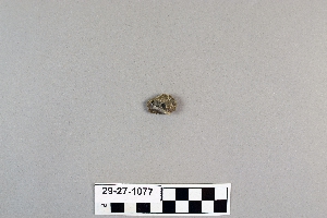
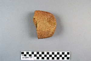
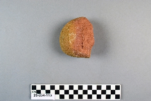
- stone[360]
1 - 32 of 360 Records