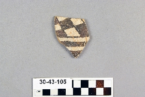
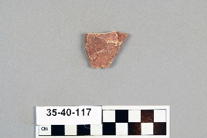
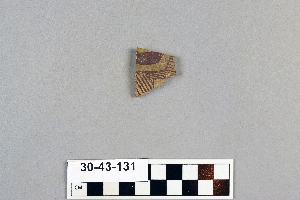
Search Collections
- Object[523]
- no[523]
- american[523]
- bone[1]
- disc[4]
- metal fragment[1]
- pendant[1]
- polishing tool[1]
- pottery smoother[1]
- sherd[523]
- acoma[1]
- anderson canyon[1]
- anderson lake[4]
- arizona[1]
- bates road[2]
- chaco canyon[15]
- clovis[9]
- colorado[1]
- dark canyon[1]
- eddy county[23]
- fanny jones ranch[7]
- gallinas[1]
- gilson canyon[1]
- keetzeel[166]
- kroenig ranch[5]
- la luz[1]
- la plata[11]
- laguna pueblo[2]
- last chance canyon[3]
- lincoln national forest[3]
- maljamar[15]
- mescal pit[3]
- miniosa draw[1]
- mora river[7]
- near alamogordo[84]
- near carlsbad[13]
- near clovis[1]
- near la luz[19]
- near nara visa[1]
- new mexico[523]
- otero county[103]
- pecos[8]
- pecos pueblo[2]
- pecos river[1]
- polard lake[10]
- pueblo bonito[1]
- pueblo mound[5]
- quay county[1]
- railroad mountain[1]
- rio grande region[5]
- rio tezsuque[1]
- rocky arroyo[2]
- sandrock cave[2]
- sawyer canyon[1]
- second jernada site[10]
- shattuck cave[3]
- site 10[10]
- site 2[24]
- site 3[3]
- site 4[3]
- site 5[1]
- site 8[3]
- tecolote[53]
- tsegi canyon[33]
- tsegie river[10]
- united states of america[180]
- upper rocky arroyo[4]
- utah[1]
- watrous[34]
- willard[29]
- zuni pueblo[1]
- pueblo iv[2]
- "from gravels as deep in side of bank as 6' 5". trail cut along side in 1934, 5 ft. wide. pottery sherds in 17" deeper."[10]
- "mound" - adobe walls[10]
- 0.25 mi. from b., below rock wall, on top of valley sediments[98]
- 1 1/2' - 2' under surface of rear of cave.[1]
- 100 yds. nne of section a, top of unconsolidated valley deposit[10]
- above profile c, surface find[4]
- above section b, surface find, near edge of bluff[4]
- anderson lake, about 15 mi. s.e. of clovis. from sand dune along edge of lake.[1]
- depth c. 15 in.[1]
- depth c. 18 in.[1]
- from cave in upper rocky arroyo, west of carlsbad, n.m.[1]
- from cave in upper rocky arroyo, west of carlsbad, n.m. powers tank[1]
- from gravel bank about 200 yards e. n.e. of kim, depth 18"[3]
- from gravel bank about 200 yards e. n.e. of kim, depth 25"[1]
- from gravel bank about 200 yards e. n.e. of kim, depth 26"[1]
- from gravel bank about 200 yards e. n.e. of kim, depth 32"[3]
- from gravel bank about 200 yards e. n.e. of kim, depth 38"[3]
- mescal pit in small canyon north of dark canyon near carlsbad, n.m.[1]
- pueblo bonito[1]
- sand "blow out" 20-25 miles northeast of carlsbad; from surface[1]
- sand "blowout" 20-25 miles northeast of carlsbad[6]
- subsurface[1]
- surface[1]
- surface collection[80]
- surface find[12]
- surface finds[66]
- surface of gully in front of rim.[4]
- surface site 2 miles south of la luz[1]
- surface, rocky arroyo, near bates road west carlsbad, n.m.[1]
- walled cave rocky arroyo seep 50-60 miles west of carlsbad[1]
- west of carlsbad. from pit in rock shelter[1]
- animal bone[1]
- clay[523]
- pigment[234]
- slip[1]
- stone[1]
1 - 32 of 523 Records
1 - 32 of 523 Records