Search Collections
- Object[89]
- no[89]
- american[89]
- animal bone fragment[1]
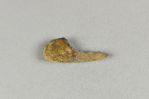
- arrowhead[1]
- charcoal[1]
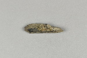
- jasper[1]
- lamp fragment[1]
- pipe fragment[1]
- rim sherd[1]
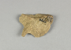
- scraper[1]
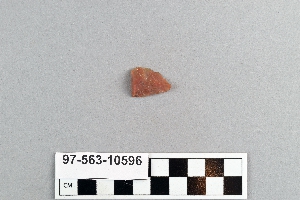
- sherd[3]
- stalactite[1]
- stone fragment[89]
- wood fragment[1]
- alaska[40]
- bainbridge (pennsylvania)[1]
- berks county[1]
- big horn basin[1]
- bonasila[1]
- bucks county[3]
- burlington county[7]
- cape darby[26]
- cape denbigh[6]
- cape henlopen[1]
- cape nome[4]
- charlton county[1]
- chesser's island[1]
- chickies[7]
- clinton county[12]
- corpus christi area[2]
- cumberland county (tennessee)[1]
- davidson county[1]
- daxatkanada fort[1]
- deerfield (massachusetts)[1]
- delaware[1]
- east tennessee[2]
- flint ridge[1]
- florida[2]
- fry's run[1]
- georgia[1]
- hansell farm[2]
- hawkins island[1]
- iyatayet[6]
- kansas[1]
- kent county (maryland)[1]
- kootznahoo inlet[1]
- lancaster county (pennsylvania)[9]
- lock haven[12]
- lumberton[1]
- madjujuinuk site[26]
- maryland[1]
- massachusetts[1]
- milford (pennsylvania)[1]
- mississippi[1]
- mississippi valley region[1]
- moorestown[6]
- nashville[1]
- near englewood[1]
- new jersey[7]
- northampton county[1]
- northfork shoshone river[1]
- norton sound[32]
- nueces county[2]
- palugvik village[1]
- park county (wyoming)[1]
- pennsylvania[27]
- pike county (pennsylvania)[1]
- prince william sound[1]
- rancocas creek[4]
- raubsville[1]
- rock hall[1]
- rock retreat[6]
- south dakota[1]
- sussex county (delaware)[1]
- tallahassee[2]
- tennessee[1]
- texas[2]
- united states of america[89]
- witmer's farm[1]
- wyoming[1]
- algonquin[2]
- denbigh flint complex[1]
- eskimo[4]
- iroquois[1]
- norton[5]
- paleo-eskimo[26]
- prehistoric eskimo[1]
- "bottom level"[6]
- 20 miles from cody[1]
- brought from indian quarries for making implements[1]
- c1w 0-6"[1]
- cave[1]
- field near town[1]
- from potato patch pocket at #2 stake[1]
- fuller's hill[1]
- house 19[1]
- house 317[1]
- house 322[1]
- in the sand stratum or at its base[1]
- iy[1]
- iyb bottom[1]
- iyeb 5-10[1]
- iypah[1]
- iype-4 upupmid.[1]
- mad[26]
- operation iii, pit # 200, section e -1[2]
- operation iii, pit # e and f, -3[5]
- operation iii, pit # g, -1[1]
- pine station[8]
- pit 200[1]
- quiggle farm[8]
- ruin along ancient ditch near englewood[1]
- shell heap[1]
- shell mounds[2]
- site 268[1]
- stratum iv, bottom, 1g, lower 10 and 11; below hearth[1]
- vicinity, surface[2]
1 - 32 of 89 Records

1 - 32 of 89 Records