Search Collections
- Object[478]
- yes[478]
- no[478]
- american[478]
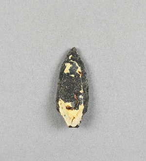
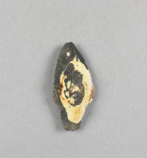
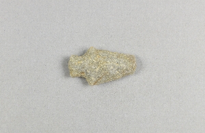
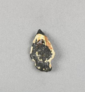
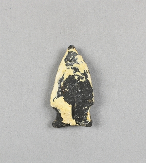
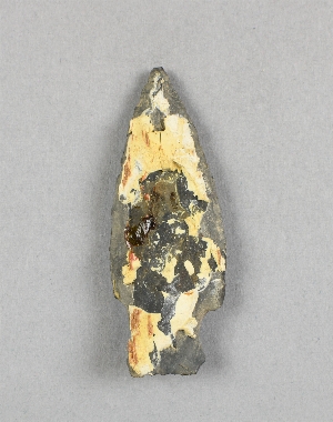
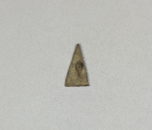
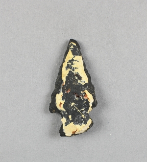
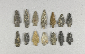
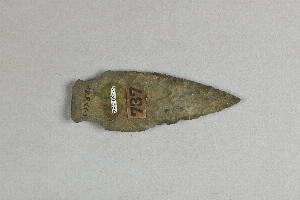
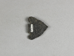
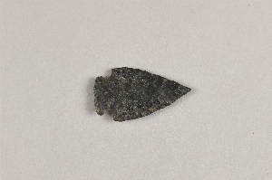
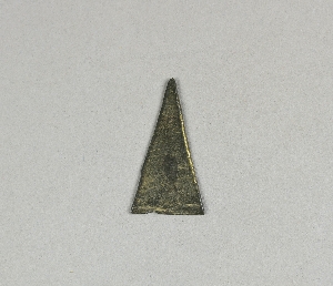
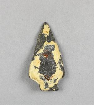
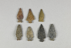
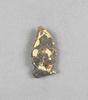
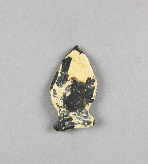
- arrowhead[478]
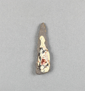
- knife[38]
- stone fragment[1]
- tool[1]
- allegheny county (pennsylvania)[2]
- berks county[5]
- birchrunville[6]
- bristol (pennsylvania)[1]
- brookwood[1]
- brown's farm[3]
- bucks county[75]
- chester county[29]
- clinton county[81]
- delaware river[1]
- delaware water gap[208]
- egypt mills[1]
- french creek[14]
- fry's run[3]
- fulton county (pennsylvania)[2]
- kimberton region[14]
- lancaster county (pennsylvania)[13]
- lehigh county[2]
- limeport[1]
- liverpool[1]
- lock haven[81]
- macungie[1]
- monroe county (pennsylvania)[208]
- montgomery county (pennsylvania)[3]
- morgantown road[25]
- near easton[2]
- new hope[1]
- northampton county[9]
- pennsylvania[478]
- perry county (pennsylvania)[1]
- philadelphia[3]
- philadelphia county[3]
- pike county (pennsylvania)[1]
- pittsburgh[2]
- point pleasant[5]
- raubsville[3]
- reading (pennsylvania)[5]
- riegelsville[30]
- schultz farm[3]
- schuylkill county[14]
- sheeders[14]
- united states of america[478]
- washington boro[13]
- wieder's creek[1]
- late archaic[1]
- modern[1]
- "riverside"[1]
- farm about 3 mi. above lock haven on south bank of west brnach of susquehanne river, surface.[1]
- frank moran's farm, surface[4]
- from brandywine (laubach) camp-site.[29]
- from roadside gutter[25]
- from rock shelter[14]
- from surface on flood plain of delaware river[1]
- hays stewart farm, operation ii, surface[9]
- in the sand stratum or at its base[1]
- jasper quarry[1]
- mckinney's farm, mouth of mcelhatten creek, south isde of west branch of susquehanna river, 4 mi. below lock haven. surface[2]
- monro farm, operation i, pit #26, depth 10 in[1]
- monro farm, operation i, pit #26, depth 7-8 in[1]
- monro farm, operation i, pit #26, depth 8 in[1]
- mr. snider's garden[1]
- operation iii[1]
- operation iii, pit # e and f, -3[2]
- operation iii, pit # g, -1[1]
- pine station[4]
- pine station, quiggle farm, operation iii, pit no. e and f, -3. depth, surface to 14 in[1]
- pine station, quiggle farm, operation iii, pit no. g and h, -1 and -2. depth not recorded.[2]
- pine station, quiggle farm, operation iii, surface.[3]
- quiggle farm[4]
- shaw's farm, mouth of pine creek, below lock haen on west branch pf susquehanna river, surface[7]
- stratum of sand at its base.[1]
- surface[5]
- surface, neighborhood generally[5]
- van campen's island[2]
- vicinity, surface[39]
- village site and quarry[1]
- argillite[27]
- carnelian[2]
- chert[25]
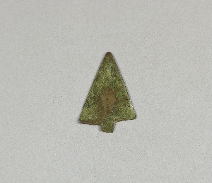
- copper[4]
- flint[12]
- glass[1]
- hornstone[4]
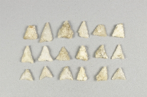
- jasper[43]
- milky quartz[9]
- quartz[2]
- quartzite[15]
- red jasper[7]
- stone[319]
- white quartz[1]
- yellow jasper[4]
- chipped[53]
- actual citation[223]
1 - 32 of 478 Records
1 - 32 of 478 Records