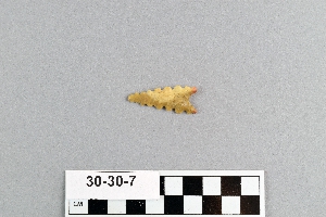
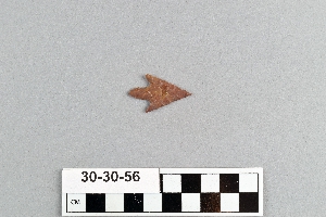
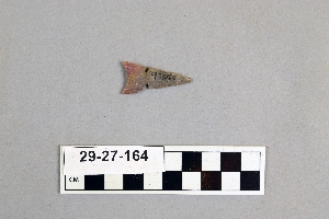
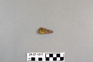
Search Collections
- Object[249]
- yes[249]
- no[249]
- american[249]
- alibates creek[1]
- aransas county[46]
- austin (texas)[4]
- bastrop county[1]
- brackettville[4]
- brazos river[1]
- buffalo gap[1]
- canadian river[1]
- corpus christi[2]
- corpus christi area[34]
- david rose's ranch[4]
- devil's river[1]
- double mountain[1]
- dr. pearce mound[6]
- elgin[1]
- florence (texas)[22]
- gravel pit[1]
- henry gault mound[16]
- ingleside cove[3]
- kerr county[2]
- kerrville[2]
- laguna madre islands[22]
- live oak point[3]
- mathews ranch[2]
- near abilene[12]
- near albany[2]
- nueces county[93]
- nueces dam[5]
- nugent ranch[6]
- padre island[4]
- palo duro canyon[2]
- putnam pit[1]
- refugio county[11]
- reynold's ranch[1]
- rockport[3]
- san patricio county[8]
- texas[249]
- travis county[2]
- united states of america[249]
- williamson county (texas)[6]
- 15 mi. s. of amarillo[2]
- 48" level[1]
- blink bonnie site[2]
- bottom layer, 5 ft. deep.[14]
- burnt mound[4]
- callo del oso[20]
- camp site at north end of padre island[4]
- copano bay, redfish point[7]
- dr. ray's site on clear fork of brazos river.[1]
- from surface of fork of brazos river.[1]
- from the upper surface.[2]
- gravel pit[1]
- mounds near austin[2]
- near abilene[2]
- peet island[1]
- shell mounds[18]
- site 48 (dewitt farm)[1]
- site 51[1]
- site 58[1]
- site near mouth of aransas river[11]
- surface[2]
- surface and misc. finds[5]
- surface and miscellaneous finds[1]
- surface of detritus from cave which was excavated[1]
- surface site[2]
- worked[1]
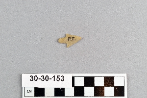
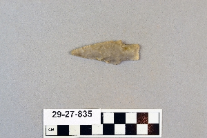
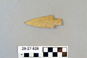
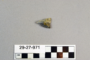
1 - 32 of 249 Records