Search Collections
- Object[175]
- no[175]
- american[175]
- alaska[2]
- allegheny county (pennsylvania)[2]
- belfast[1]
- berks county[5]
- bucks county[2]
- cape prince of wales[2]
- cave[2]
- cayuga county[1]
- chillicothe[4]
- clinton county[6]
- colorado river[2]
- east orland[18]
- ellsworth[1]
- ewing and bragdon site[30]
- frenchman's bay[30]
- georgia[2]
- gordon county[1]
- hancock county (maine)[49]
- illinois[5]
- indiana[1]
- iredell county[54]
- lancaster county (pennsylvania)[10]
- lehigh county[2]
- limeport[1]
- liverpool[1]
- lock haven[6]
- macungie[1]
- maine[51]
- morgantown road[25]
- new york[1]
- north carolina[54]
- ohio[4]
- pennsylvania[53]
- perry county (pennsylvania)[1]
- pittsburgh[2]
- reading (pennsylvania)[5]
- riegelsville[2]
- ross county[4]
- southeastern utah[2]
- union river[1]
- united states of america[175]
- versailles[1]
- waldo county[1]
- washington boro[10]
- wieder's creek[1]
- late archaic[19]
- maritime archaic[18]
- moorehead phase[18]
- algonquin[4]
- eskimo[2]
- iroquois[3]
- red paint people[18]
- 13" deep, below 11" of cr. shell, on stratum of pebbles; on line 11, 1 1/2" from b.[1]
- 14" from 1[1]
- 19" from 5, 4 1/2" from b.[1]
- 8" deep in cr. shell and grass roots[1]
- 8" from a[1]
- farm about 3 mi. above lock haven on south bank of west brnach of susquehanne river, surface.[1]
- flying moose lodge boys camp (est. 1921)[18]
- from roadside gutter[25]
- hays stewart farm, operation ii, surface[1]
- in grass roots in disturbed area[1]
- jasper quarry[1]
- mckinney's farm, mouth of mcelhatten creek, south isde of west branch of susquehanna river, 4 mi. below lock haven. surface[1]
- pine station, quiggle farm, operation iii, pit no. e and f, -3. depth, surface to 14 in[1]
- pine station, quiggle farm, operation iii, surface.[2]
- surface[2]
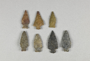
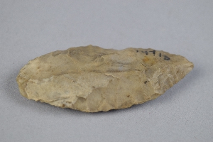
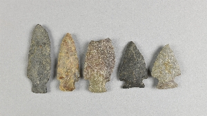
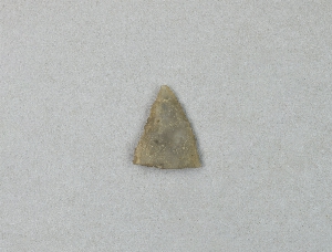
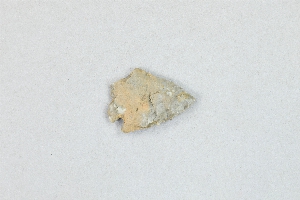
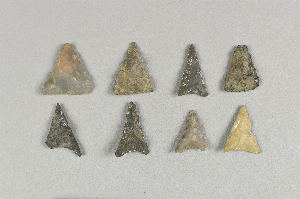
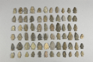
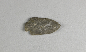
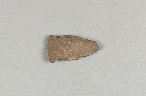
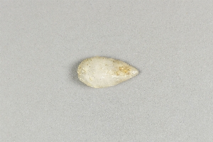
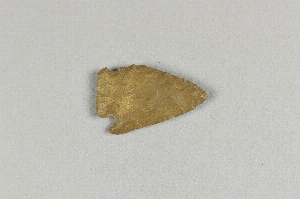
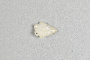
- chipped[175]
1 - 32 of 175 Records
1 - 32 of 175 Records