Search Collections
- Object[989]
- yes[989]
- no[989]
- american[989]
- drill[1]
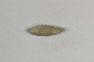
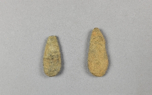
- knife[2]
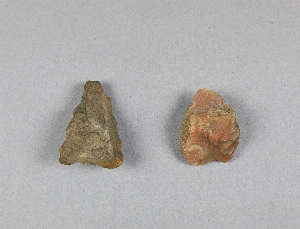
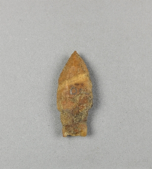
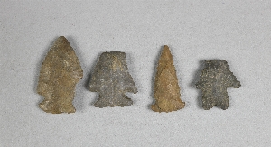
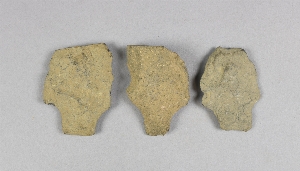
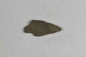
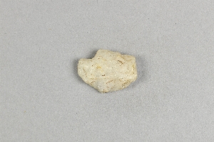
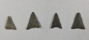
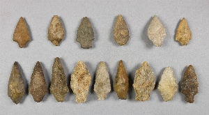
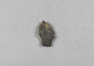
- projectile point[989]
- abbott farm[10]
- bartlett shellheap[2]
- bartlett shellheep[30]
- beasley's point[17]
- belvidere[1]
- billingsport[1]
- bordentown[8]
- bucks county[9]
- burlington[1]
- burlington county[156]
- burlington island[11]
- camden (new jersey)[6]
- camden county[31]
- cape may county[18]
- chester (new jersey)[6]
- clark's pond[1]
- crosswick creek[3]
- cumberland county (new jersey)[16]
- delaware valley[41]
- eastern pennsylvania[165]
- evesham township[8]
- fairfield[1]
- fairton[1]
- florence (new jersey)[6]
- gloucester county[24]
- haddonfield[1]
- hamilton[68]
- hamilton square[68]
- hunterdon county[11]
- indian mills[7]
- lambertville[11]
- laurie's mill pond[1]
- lumberton[27]
- marlton[8]
- medford[15]
- mercer county[308]
- moorestown[40]
- morrisville[9]
- near trenton[10]
- new jersey[989]
- newport (new jersey)[2]
- newton creek[4]
- pennsylvania[182]
- port elizabeth[12]
- prospect[2]
- rancocas creek[45]
- shamong township[7]
- timber creek[20]
- trenton[231]
- united states of america[985]
- warren county (new jersey)[1]
- western united states[2]
- late archaic[1]
- "bottom level"[15]
- "lowest level"[24]
- abbott farm[1]
- banks of laurie's mill pond[7]
- bartlett shellheap[1]
- from "newer deposits"[2]
- from meadows below trenton.[5]
- laurie's mill pond[7]
- laurie's mill ponds[1]
- sand dune in meadow[1]
- shores of delaware river at morrisville, pa., and trenton, n.j.[9]
- surface[4]
- surface find along cohansey creek[1]
- surface of field[1]
- surface of river shore.[1]
- surface of river-shore.[4]
- surface of river-shore. exposed by wearing away of the river bank.[1]
- upper layer[26]
- chipped[735]
1 - 32 of 989 Records


1 - 32 of 989 Records