Search Collections
- Object[231]
- yes[231]
- american[231]
- "su" site near reserve[1]
- anderson canyon[2]
- anderson lake[32]
- apache canyon[3]
- arizona[1]
- beck forest lake[34]
- chaco canyon pueblo[1]
- clovis[91]
- curry county[7]
- dark canyon[1]
- eddy county[11]
- fanny jones ranch[1]
- gallegos ranch[1]
- garrett[5]
- gravel pit[16]
- guadalupe mountains[1]
- harding county[5]
- kroenig ranch[3]
- laguna pueblo[1]
- lake[10]
- lakes[1]
- last chance canyon[5]
- lincoln national forest[5]
- logan (new mexico)[14]
- maljamar[2]
- mescal pit[1]
- miniosa draw[10]
- mora county[3]
- mora river[1]
- muerto creek[5]
- near alamogordo[1]
- near bueyeros[5]
- near carlsbad[8]
- near clovis[20]
- near levy[3]
- near logan[1]
- near nara visa[10]
- near newkirk[2]
- near questa[2]
- near railroad mountain[1]
- near san jon[3]
- near taos[4]
- near tecolote[6]
- near tucumcari[10]
- new mexico[231]
- old lake[2]
- otero county[1]
- polard lake[14]
- pot creek[4]
- potaler clovis[3]
- pueblo bonito[1]
- pueblo mound[3]
- quay county[45]
- railroad mountain[7]
- rawhide canyon[1]
- rio grande region[1]
- rocky arroyo[1]
- san juan pueblo[2]
- san miguel county[6]
- sawyer canyon[1]
- second jernada site[1]
- shattuck cave[1]
- site 1[2]
- site 10[14]
- site 2[13]
- site 3[1]
- site 4[1]
- site 5[8]
- site 6[3]
- site 7[3]
- site 8[3]
- taos county[4]
- troutman ranch[10]
- united states of america[69]
- watrous[4]
- "mound" - adobe walls[1]
- 2 mi. w. of gravel pit near clovis, n.m.[1]
- alongside mammoth tusk[1]
- alongside of mammoth tusk[1]
- anderson lake, about 15 mi. s.e. of clovis, n.m.[20]
- basin site[3]
- c' - 9-south[1]
- camp site[5]
- cave 50-60 miles west of carlsbad[1]
- deep hearth on south side of erosion island[1]
- first terrace surface[4]
- found 1 1/2' to 2' under surface of rear of cave.[1]
- found in place in blue sand with extinct bison[1]
- just above mammoth tusk[1]
- lake 15 mi. west[1]
- lake south west[1]
- large cave near pumping station, last chance canyon, west of carlsbad, n.m.[5]
- mescal pit in small canyon north of dark canyon near carlsbad, n.m.[1]
- old lake 2 mi. sout of gravel pit near clovis, n.m.[1]
- old lake 2 mi. south of gravel pit near clovis, n.m.[2]
- sand "blowout" 20-25 miles northeast of carlsbad[1]
- sunshine valley[2]
- surface[21]
- surface around gravel pit near clovis, n.m.[1]
- surface collection[1]
- surface of cave.[1]
- west dump at side of old road leaving the north east corner of the gravel pit[1]
- west dump of gravel pit, surface[1]
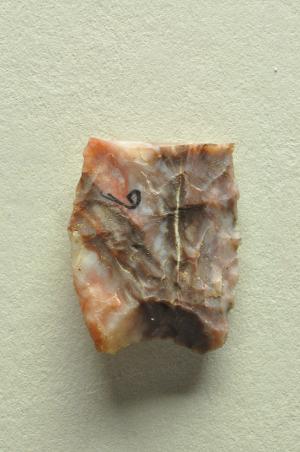
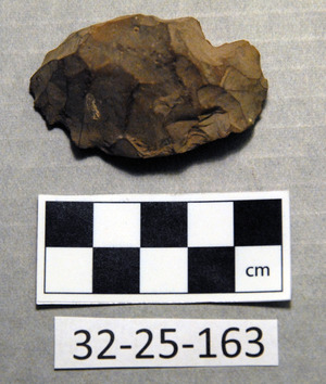
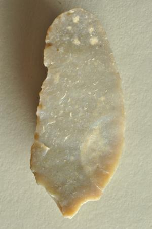
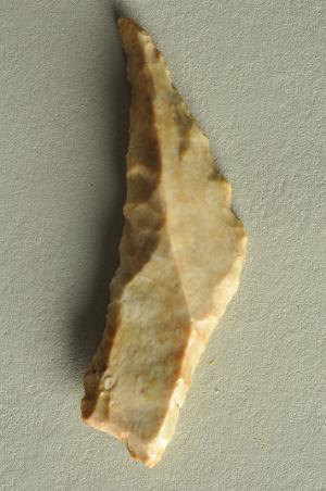
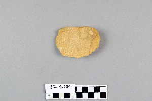
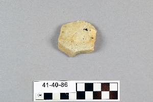
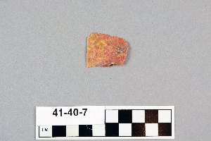
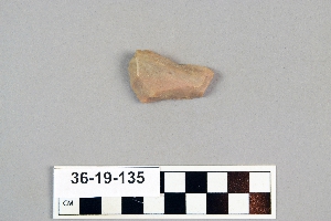
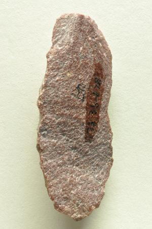
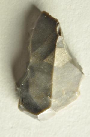
- chipped[199]
1 - 32 of 231 Records
1 - 32 of 231 Records