Search Collections
- Object[655]
- no[655]
- american[655]
- blade[18]
- celt[1]
- dart point[1]
- drill[9]
- end scraper[3]
- engraver (engraving tool)[5]
- flake[13]
- flake scraper[1]
- flint[1]
- implement[1]
- implements[1]
- knife[300]
- lithic[1]
- paint cup[1]
- perforator[1]
- point[134]
- points[5]
- projectile point[257]
- scraper[71]
- scrapers[1]
- spear point[2]
- spearhead[9]
- tool[4]
- tube[1]
- abilene[7]
- alibates creek[39]
- bailey county[2]
- banquete creek[6]
- bivens estate ranch[39]
- blackwater draw[1]
- blind oso[1]
- blowout mountain[18]
- brazos river[2]
- canadian river[21]
- clear fork[2]
- copano bay[1]
- corpus christi[36]
- corpus christi area[1]
- elgin[184]
- elgin island[7]
- elm creek[10]
- florence (texas)[1]
- georgetown[82]
- gulf of mexico[9]
- hawley[2]
- henry gault mound[1]
- hereford[1]
- high terrace[5]
- ingleside cove[6]
- jones county (texas)[2]
- kingville[1]
- laguna madre island[5]
- laguna madre islands[6]
- lake county (illinois)[1]
- live oak peninsula[73]
- logan (texas)[1]
- near abilene[26]
- near dalhart[18]
- neuces[9]
- nueces county[59]
- nugent[3]
- oso bay[6]
- oso creek[4]
- padre island[9]
- pecos[9]
- petronillo creek[5]
- playa lodosa[1]
- puerto bay[14]
- puerto bay club[1]
- rattlesnake point[1]
- rectangular pit house[2]
- red fish point[8]
- rincon[54]
- rockport[23]
- salinas creek[15]
- st. charles bay[13]
- taylor county[3]
- texas[655]
- united states of america[655]
- viola[2]
- williamson county (texas)[95]
- comanche[9]
- 1a[1]
- 1a, depth 22 in.[1]
- 24.5 ft. below surface found with charcoal #32.29[1]
- a known comanche site[5]
- bank of elm creek 7.5 mi. south of abilene[1]
- blow-out[2]
- bottom layer, 5 ft. deep.[1]
- creek bed of elm creek 7.5 mi. south of abilene[7]
- found in neighborhood of elgin[1]
- from bank along clear fork of brazos river about 2.5 mi. east of hawley, texas, found 20 ft. below surface, just below level of a large mammoth tusk.[2]
- rectangular pit house, 2d/235, 19 in. below surface[1]
- rectangular pit house, 2d/27s[1]
- rectangular pit house, 2d/2b, 15 in. below surface -- at base of humus.[1]
- rectangular pit house, 2d/2s, depth 23 in. among ashes under fragment of stone -- near corner within pit house.[1]
- rectangular pit house, 2d/36s[1]
- rectangular pit house, 2d/38s, in humus[1]
- rectangular pit house, 2d/3b, depth 25 in.[1]
- rectangular pit house, 2d/40s, depth 13 in., on plaster.[1]
- rectangular pit house, 2d/41s, depth 13 in. lying immediately on horizontal plaster.[1]
- rectangular pit house, 2d/49s[1]
- rectangular pit house, 2d/4s[1]
- rectangular pit house, 2d/52s, depth 9 in., above floor in "wash" near platform "break"[1]
- rectangular pit house, 2d/54s[1]
- rectangular pit house, 2d/55s[1]
- rectangular pit house, 2d/57s[1]
- rectangular pit house, 2d/62s[1]
- rectangular pit house, 2d/6b, depth 24 in.[1]
- rectangular pit house, 2d/7s, 21 to 25 in. below surface[1]
- rectangular pit house, 2d/8b, 26 in. below surface[1]
- rectangular pit house, 2d/8s[1]
- rectangular pit house, 2d/?b[1]
- region around rockport[10]
- sand dune surface site near nugent[3]
- shell mounds[1]
- site 40 or 41[3]
- small museum[1]
- surface[4]
- surface in blown area[15]
- surface near high terrace, 13 mi. south of abilene[1]
- surface site[18]
- surface, blown area[3]
- chalcedony[129]
- chert[86]
- flint[267]
- jasper[5]
- quartzite[9]
- smoky quartz[1]
- stone[158]
- chipped[655]
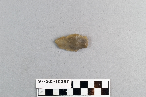
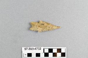
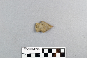
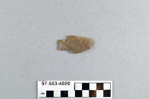
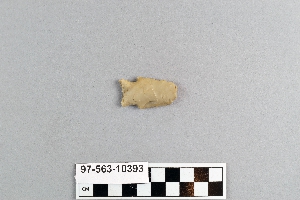
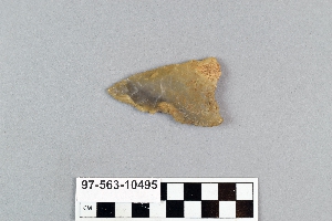
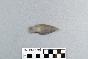
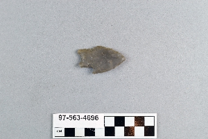
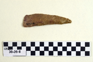
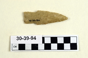
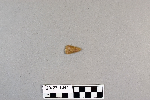
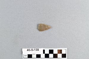
1 - 32 of 655 Records

