South Indian Landscape Trajectories: Field Research at Brahmagiri

Curatorial Section
Research Discipline
Archaeology
Dates
2014 - Present
Project Phase
Active Fieldwork/Data Collection
The site of Brahmagiri is in Karnataka, India. With a 5,000-year-long history of occupation from the beginnings of agriculture to the present day, this was the location of one of the earliest cities in southern India and a key fortified town in the complex and shifting political landscape of later centuries, culminating in the rise of the Vijayanagara empire. Brahmagiri’s rich archaeological record includes Neolithic ashmounds, vast fields of megaliths, inscriptions, standing temples, and the largely intact deposits of several historic cities.
The South Indian Landscape Trajectories (SILT) project brings updated methods and approaches to understanding this critical site. Through digital mapping, drone photography, excavation, and advanced analytical methods, the project is investigating agricultural and environmental change, foodways, and the long-term transformations of social worlds. The project also trains students from India, the US, and other countries.
The site of Brahamagiri is in Chitradurg District, Karnataka. The environment at the site is semi-arid, with rainfall concentrated during the southwest monsoon, and farming relies on irrigation. The surrounding hills are terraced to provide more agricultural land.
The South India Landscape Trajectories Project (SILT) complements existing understandings of past environments in central Karnataka from the Southern Neolithic to the present, with data on settlement history, land use, farming, food, and the social organization of cities and households. Paleoenvironmental evidence provides data on changes across the region, while focused excavation at Brahmagiri adds a human dimension, revealing strategies for food processing and cooking, storage, trade, animal husbandry, and other elements of rural life.
The area first attracted the attention of archaeologists and historians in the late 19th century with the publication of three Minor Rock Edicts, originally carved during the 11th year of the reign of Emperor Asoka (ca. 280 BCE). These and other inscriptions reflect a complex history of shifting relationships between local elites and regional dynasties across many centuries. Archaeological excavations in the early 20th century sampled nearby mounds, documenting domestic occupation from the Neolithic onwards, and attempting to define local stratigraphic relationships and occupation sequences. More recent archaeological work has focused on remapping mounds and burials described in earlier work, and utilizing modern techniques like sedimentary analysis to describe the paleoenvironment of the region.
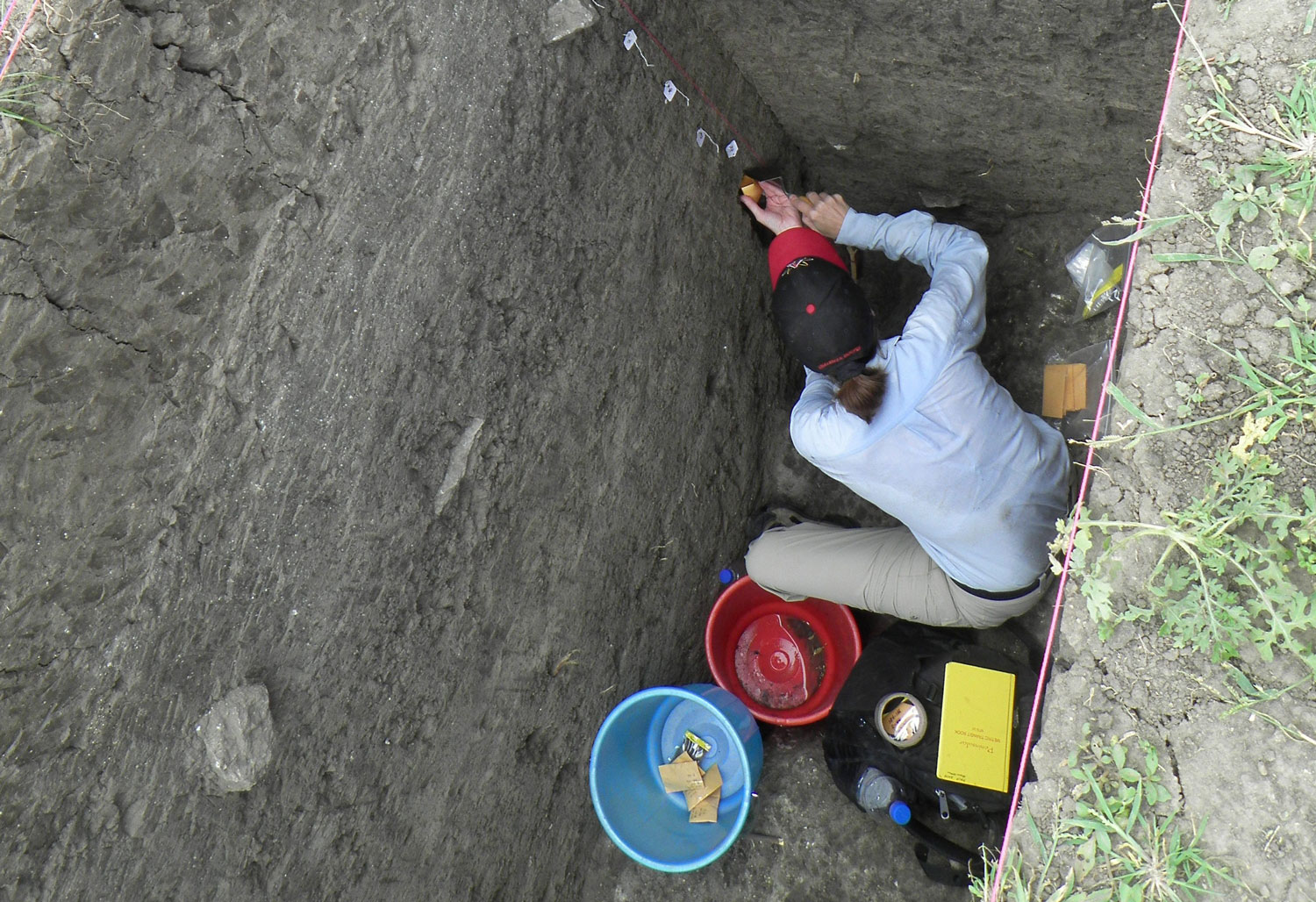
Current work at Brahmagiri and the surrounding sites involves horizontal excavation to expose structures, floors, courtyards, and other locations of high human activity. Surface documentation and remote sensing extend the excavated areas to deepen understanding of the spatial and chronological connections between activity zones, with the goal of creating a detailed base map of the site. Finds analysis concentrates on faunal and phytolith analysis to investigate expansion and transformation of herding and agricultural strategies, and their environmental and social impact.
Project goals are to:
- Link reconstructions of fire history and past vegetation, including woody cover, crops, and field weeds, for the past 5,000 years with charred plant remains, animal bones, artifacts, and other indicators of farming practices, food processing, storage, and exchange
- Better understand animal use and its environmental and social impacts
- Explore changing life ways in both a rain-fed region and an irrigated region within similar semi arid landscapes
- Document changes in settlement organization and layout, and attempt to understand increasing social differentiation and specialization through time, as well as to explore the possible connections of rural farmers with larger cities and states. We also seek to link the prehistoric and historic records of north Karnataka, using analytical methods usually reserved for prehistoric sites on all periods of occupation in this region.
- We aim to establish a training opportunity for students from India, the US, and other countries that will include up to date methods of mapping, surface documentation, highly controlled small-scale excavation, and a range of analytical methods.
This work complements previous research by:
- Providing an updated archaeological sequence and chronology for the southern Deccan that extends from the Southern Neolithic to the Medieval periods
- Providing information on past farming, pastoralism, and diet
- Training students in environmental archaeology, new mapping methods, and field techniques.
Researchers
- Kathleen D. Morrison
University of Pennsylvania | Director - Dr. Smriti Haricharan
Indian Institute of Technology, Bombay - Dr. Mark T. Lycett
University of Pennsylvania
This project is open to student participation, email kmor@upenn.edu for more information.


